
A roof can be one of the most expensive assets to repair and one of the hardest areas to document properly. For commercial buildings, factories, hotels, warehouses, and large residential developments, LiDAR roof surveys Malaysia provide a safer way to capture roof geometry, surface conditions, drainage paths, and surrounding site context without relying on incomplete manual measurements or high-risk access.
The value is not simply a detailed aerial image. A properly planned LiDAR survey produces measurable spatial data that can support maintenance budgets, renovation design, insurance documentation, asset management, and Scan-to-BIM workflows. The right output depends on the decision that needs to be made.
Why roof data is often incomplete
Traditional roof inspections commonly combine site photographs, tape measurements, visual assessments, and selected drone imagery. These methods can be useful, particularly for small and accessible properties, but they are not always sufficient for complex roof forms or large portfolios.
A commercial roof may include multiple levels, parapets, plant rooms, skylights, gutters, solar panels, drainage outlets, service routes, and areas concealed by equipment. Recording each element accurately from the ground is difficult. Physical access introduces safety, scheduling, and business-disruption concerns, especially at operating industrial facilities or hospitality properties.
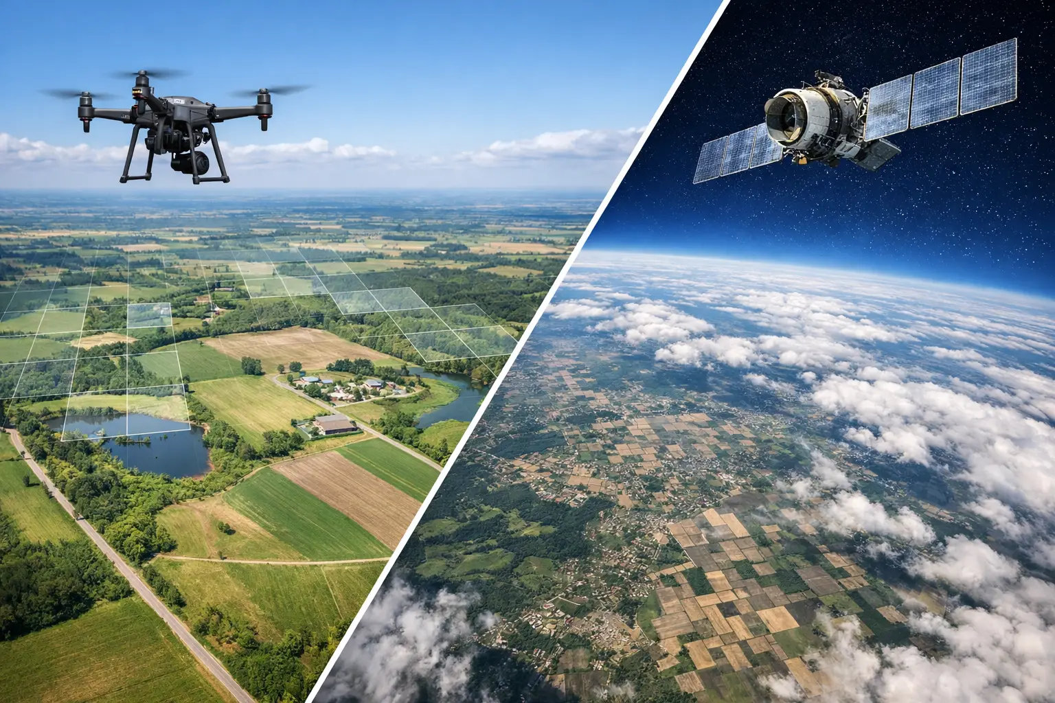
Drone photography improves visibility, but images alone are not necessarily measurement-ready. Aerial visuals show what is present, while LiDAR captures a dense collection of spatial points that can be processed into a three-dimensional representation of the roof and site. This distinction matters when a team needs dimensions, elevations, slopes, volumetric calculations, or a reliable base for design coordination.
What LiDAR roof surveys in Malaysia deliver
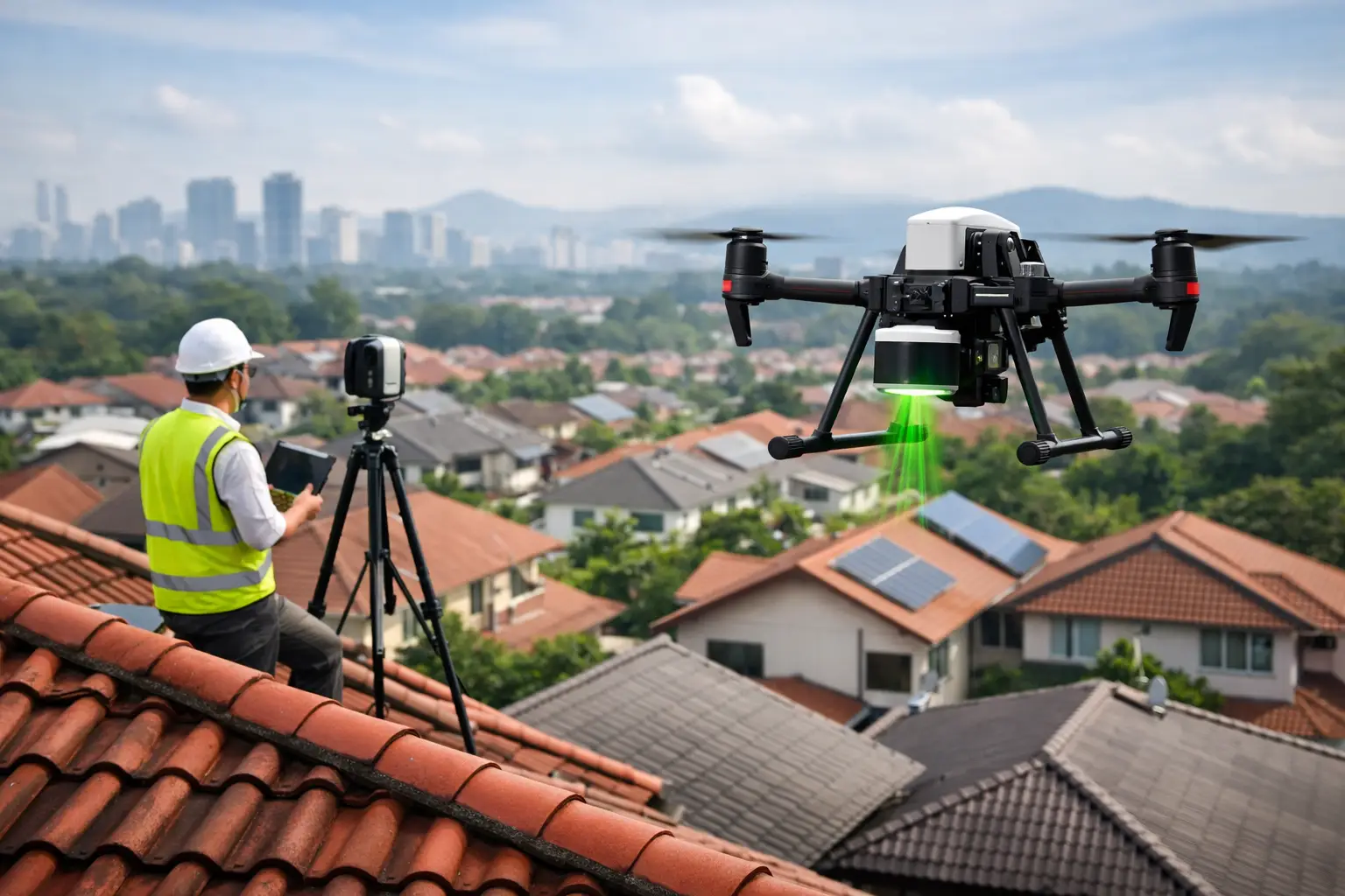
LiDAR, or Light Detection and Ranging, measures distance by emitting laser pulses and calculating their return time. When mounted on an aerial platform or combined with terrestrial scanning methods, it creates a point cloud: millions of measured points representing physical surfaces.
For roof surveys, that point cloud can be classified, cleaned, and converted into practical deliverables. Depending on the scope, the project team may receive a colorized point cloud, orthomosaic imagery, roof elevation data, contour information, a 3D mesh, CAD-ready drawings, or an as-built BIM model.
This creates a stronger foundation for decisions that are otherwise based on assumptions. A facility manager can identify roof zones and equipment clearances. An architect can model an existing structure before planning an extension. A contractor can assess access conditions and estimate material quantities with better confidence. An insurer can retain dated documentation of pre-loss conditions.
LiDAR is not a replacement for every close-up inspection. It will not confirm the internal condition of a membrane, identify every minor crack, or replace a qualified roofing specialist where material failure must be assessed. Its strength is accurate spatial context: knowing where assets, changes in level, obstructions, and risk areas are located before sending people onto the roof.
When a LiDAR roof survey is the right investment
The commercial case is strongest when inaccessible areas, complexity, risk, or repeat use of the data makes conventional measurement inefficient. Large roofs benefit because survey time and data consistency can be managed across a much broader footprint. Complex roofs benefit because multiple elevations and intersecting surfaces are documented in one coordinated dataset.
For a single small roof with easy ladder access and no future design work, a basic inspection may be more proportionate. For a logistics warehouse, mixed-use tower, resort, manufacturing site, or multi-building property portfolio, LiDAR can reduce the uncertainty that causes rework later in the project.
It is particularly useful before reroofing, solar feasibility studies, drainage improvement, rooftop plant replacement, façade work, renovations, and acquisitions. In these situations, inaccurate dimensions can affect design allowances, procurement, site logistics, and project timelines.
Reroofing and repair planning
Roofing contractors and building owners need clear measurements of roof areas, slopes, edges, penetrations, and equipment zones. LiDAR data helps establish a reliable starting point for estimating quantities and planning work sequences. It can also reveal how roof geometry interacts with adjacent walls, drainage channels, and service infrastructure.
The survey does not eliminate the need for site verification before construction. It does, however, allow the design and estimating team to begin with coordinated information rather than scattered photographs and approximate dimensions.
Solar and rooftop equipment assessments
Solar planning requires more than a view from above. Designers need to understand roof dimensions, orientation, obstructions, potential shading, plant room locations, access paths, and safety setbacks. A 3D roof model provides a clearer base for early feasibility work and stakeholder discussions.
The same applies to HVAC upgrades, communication equipment, and other rooftop installations. When equipment locations are modeled in their true context, teams can evaluate clearances and access routes before costly site mobilization.
Insurance, restoration, and condition records
A time-stamped LiDAR dataset can provide a defensible spatial record of a property before a weather event, water ingress claim, or restoration project. It is not a substitute for a loss adjuster’s investigation, but it can support clearer communication around roof form, elevations, visible equipment, and the documented condition of accessible surfaces at the time of capture.
For owners managing multiple high-value properties, consistent baseline documentation can also make renewal assessments and repair discussions more efficient.
From aerial capture to decision-ready data
The quality of a roof survey is determined well before the aircraft takes off. Flight planning must account for airspace requirements, site constraints, weather, roof complexity, surrounding structures, and the accuracy level needed for the intended use. A marketing visualization and an as-built model do not require the same capture strategy or processing standards.
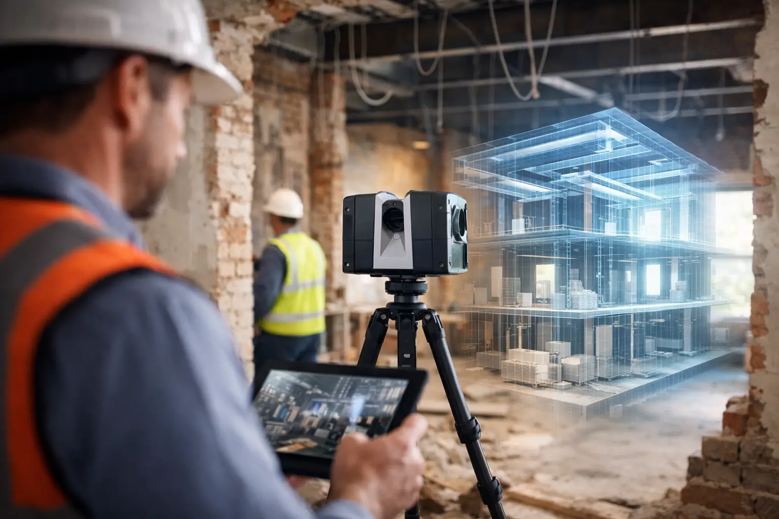
Ground control and georeferencing may be required where the data must align with site coordinates, engineering drawings, or other survey information. For Scan-to-BIM projects, the LiDAR point cloud needs to be structured for modelers who will interpret roof planes, openings, equipment, and architectural elements. For facility management, outputs may need asset labels or integration with existing documentation systems.
This is why deliverables should be specified at the start. Requesting a point cloud after capture may be straightforward, but requesting BIM-ready accuracy, roof plan extraction, or a model with defined levels and categories introduces different requirements. The survey brief should establish the use case, expected tolerance, coordinate system, file formats, and required level of detail.
A practical workflow for LiDAR roof surveys Malaysia
A well-managed project starts with a short discovery phase. The survey partner reviews the property type, roof access limitations, surrounding environment, and intended outputs. This is where owners should identify whether the data will support a repair tender, a design consultant, an insurance file, an asset register, or a property marketing initiative.
The capture team then plans the site work around safe operating conditions and minimal disruption. Aerial LiDAR may be combined with high-resolution drone imagery, terrestrial LiDAR, 360 capture, or conventional survey controls when the project calls for a more complete digital record. Combining methods is often valuable because no single capture technology sees every surface equally well.
After collection, the raw data is processed into a cleaned, registered dataset. Quality checks verify coverage, alignment, and the absence of material gaps. The final information is then delivered in the formats that match the workflow, rather than as a collection of files that the client must interpret alone.
For example, a developer considering refurbishment may need a roof plan, elevation references, and a Scan-to-BIM model. A facility manager may benefit more from an annotated 3D viewer, maintenance zones, and current aerial imagery. The objective is usable spatial intelligence, not data for its own sake.
Choosing a survey partner
Technical equipment matters, but project interpretation matters more. A capable provider should ask how the roof data will be used, not only how many square feet must be captured. They should be able to explain expected accuracy, coverage limitations, deliverable options, and where supplementary inspection remains necessary.
Look for experience across aerial mapping, terrestrial scanning, BIM coordination, and visual documentation. This broader capability is valuable when roof data needs to connect to the wider building, such as interior as-built information, façade measurements, virtual access, or construction progress records.
For projects across Kuala Lumpur, Selangor, Penang, Johor, and other parts of Malaysia, local operating knowledge can also affect scheduling, weather planning, access coordination, and the practical handling of active sites.
Novo Reperio approaches roof capture as part of a larger digital asset strategy. The goal is to turn physical conditions into spatial data that teams can review remotely, coordinate across disciplines, and reuse through the life of a property.
A roof survey delivers its greatest return when it answers the next operational or commercial question before that question becomes an urgent site visit. Define the decision first, then commission the level of LiDAR data that gives your team a dependable view from above.