
A poorly planned existing-conditions survey can compromise a renovation long before design begins. Missing ceiling services, inaccessible plant rooms, misaligned floor levels, and undocumented changes on site all create costly uncertainty. A BIM ready point cloud workflow replaces assumptions with measured spatial data, giving project teams a dependable basis for as-built modeling, coordination, and decision-making.
For architects, engineers, contractors, and facility teams, the objective is not simply to produce an attractive 3D scan. The objective is to create a point cloud that can be trusted, modeled efficiently, and used for the decisions that affect program, cost, safety, and long-term asset management.
What Makes a Point Cloud BIM Ready?
A point cloud becomes BIM ready when its capture, registration, quality checks, and delivery are aligned with the requirements of the model that will follow. It is not enough for the scan to look complete in a viewer. The data must be correctly positioned, sufficiently accurate, cleaned of avoidable noise, and structured so modelers can distinguish relevant building elements from visual clutter.
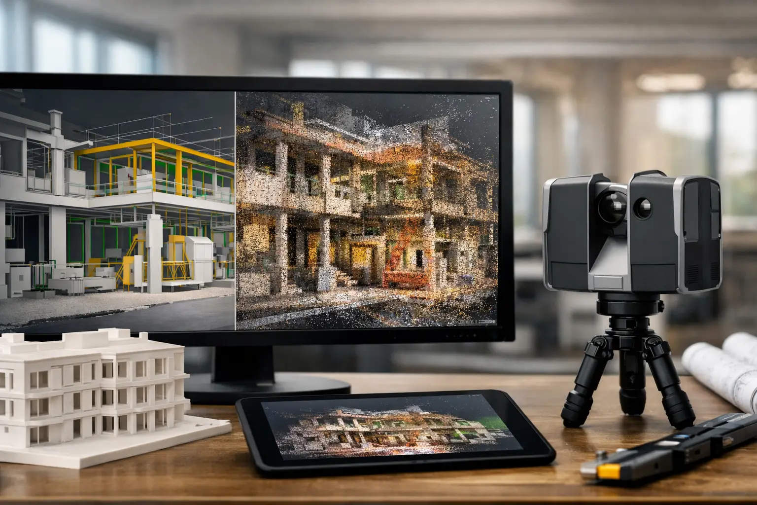
This distinction matters because point clouds are evidence, not BIM models. They contain millions or billions of measured points representing surfaces. A BIM model interprets that evidence into intelligent objects such as walls, slabs, doors, ducts, structural members, and equipment. If the source data is incomplete or poorly controlled, the modeler is forced to guess. Those guesses become design risk.
The right level of accuracy depends on the use case. A commercial leasing visualization may tolerate a broader representation of space, while a hospital retrofit, industrial expansion, or heritage conservation project can require tighter control. The project team should define this requirement before scanning begins, not after a model has been commissioned.
Start With the Intended BIM Use
The most effective workflow begins with a practical question: what must the model enable?
For renovation planning, the model may need accurate walls, floors, ceilings, structural elements, and visible MEP services. For clash detection, the priority may be congested ceiling zones, risers, plant rooms, and equipment clearances. For facilities management, asset information, room boundaries, and equipment locations may matter more than modeling every visible finish.
This early definition shapes the entire delivery. It determines scan density, access requirements, control-point strategy, model detail, file formats, coordinate system, and quality assurance process. It also prevents a common problem: paying for highly detailed capture across an entire site when only selected areas require that precision.
A clear brief should establish the areas to be scanned, spaces that require special access, accuracy tolerance, required model elements, level of development, naming conventions, and the software environment used by the design team. It should also identify exclusions. For example, concealed services inside walls cannot be reliably modeled from LiDAR alone, and reflective or transparent surfaces may require supplemental capture methods.
Capture the Site as a Connected Dataset
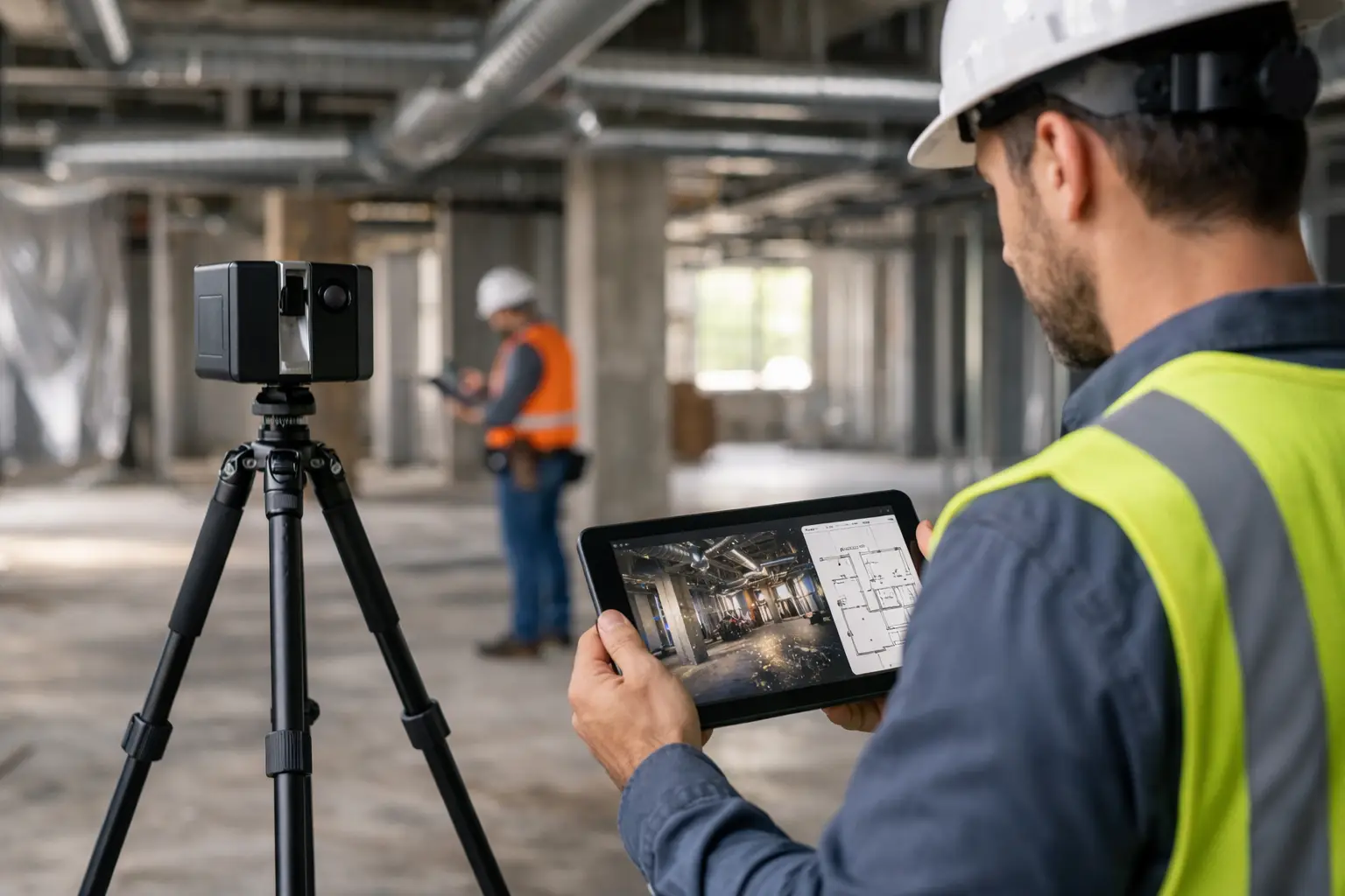
LiDAR scanning is most valuable when it records the building as a connected spatial system rather than a collection of individual rooms. Scan positions must overlap sufficiently to support reliable registration, particularly in long corridors, open halls, repetitive floorplates, and areas with limited visual features.
Before fieldwork, the capture team should review available drawings, site logistics, safety restrictions, operating hours, and access routes. In active hotels, retail spaces, factories, or offices, scanning may need to be scheduled around guests, customers, production activity, or security requirements. A technically accurate scan is of limited value if important spaces were unavailable or equipment had to remain obscured.
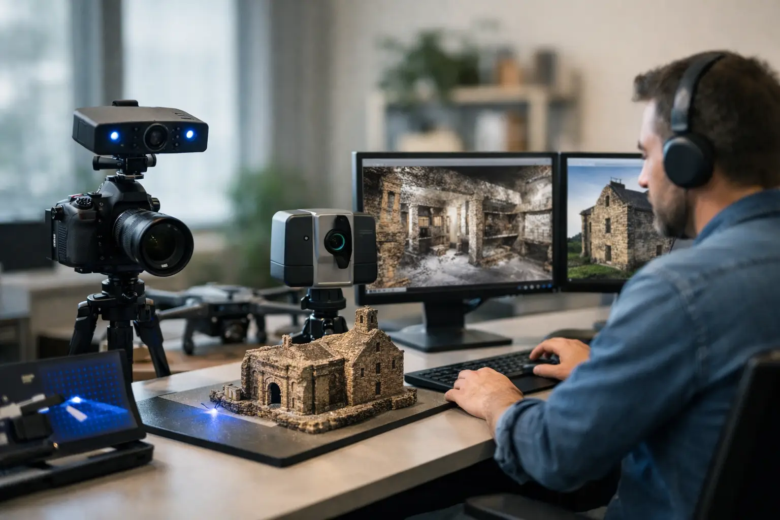
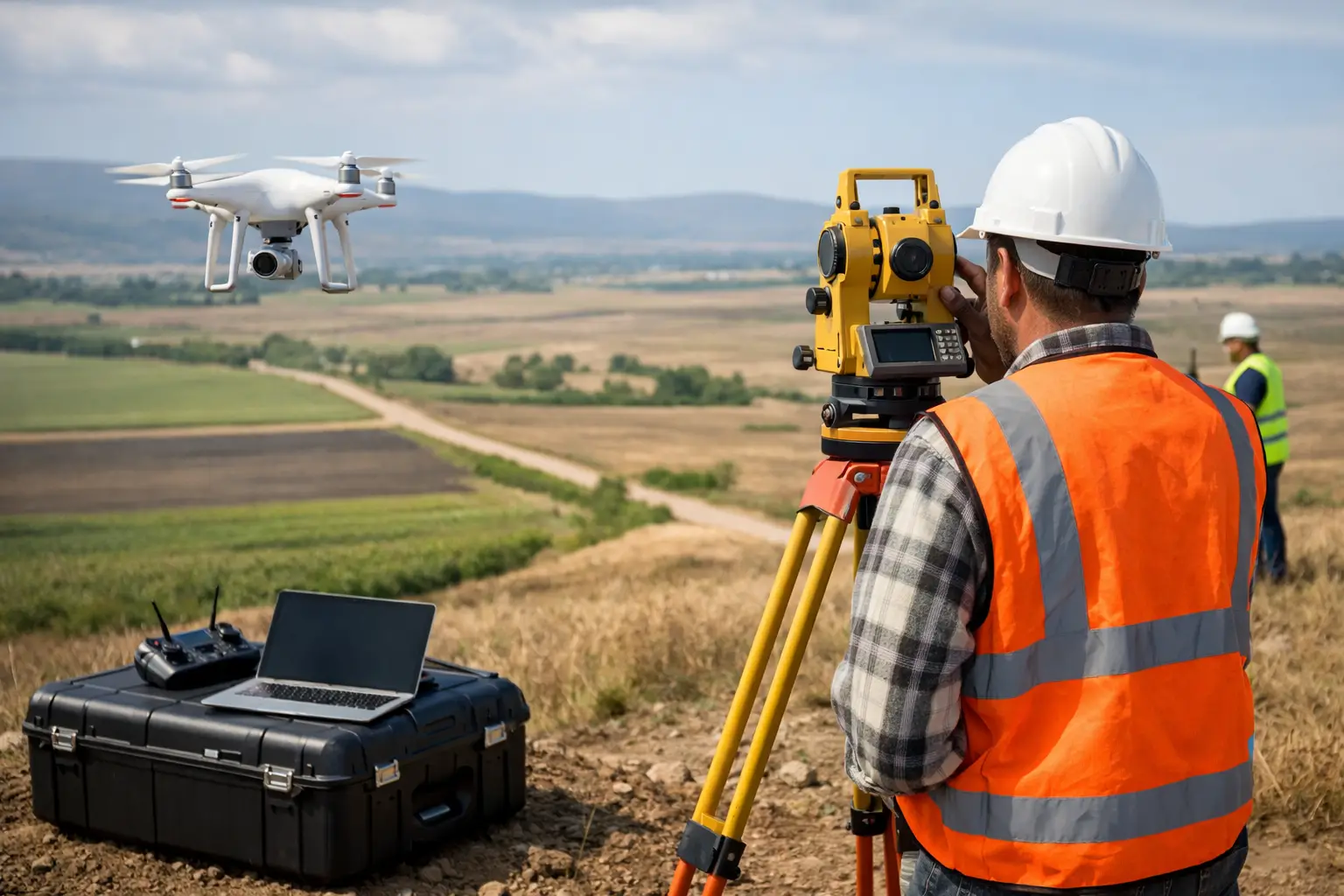
Field teams should also capture supporting visual information. High-resolution panoramic imagery helps modelers interpret materials, service routes, labels, equipment types, and boundaries that geometry alone may not make clear. For large sites, drone mapping can add roof, facade, and site context that terrestrial scanning cannot efficiently capture from ground level.
The best result is a coordinated record of interiors, exteriors, critical assets, and accessible roof areas, with each dataset connected to the project coordinate framework.
Register, Georeference, and Validate the Data
Registration is where separate scans become one usable point cloud. Automated registration can accelerate processing, but it should not replace verification. Repetitive interiors, glass surfaces, moving people, or limited overlap can introduce alignment errors that may only become visible later in the BIM model.
A quality-controlled workflow reviews registration reports, overlap, scan alignment, and known dimensions from site. Control targets or surveyed reference points are especially valuable when the project requires integration with civil, structural, or site data. They establish a defensible coordinate system and reduce the risk of costly shifts between disciplines.
Georeferencing is not mandatory for every project. A small interior renovation may work effectively in a local coordinate system. A multi-building campus, infrastructure interface, or development site usually benefits from a common survey coordinate system. The decision depends on how the model will be exchanged and what other spatial datasets it must align with.
At this stage, the point cloud is also cleaned and segmented where appropriate. Temporary objects, moving people, construction debris, and irrelevant background data can make modeling slower. However, over-cleaning can remove useful site evidence. The right approach is to retain source data while delivering a practical working cloud for the modeling team.
The BIM Ready Point Cloud Workflow in Practice
A dependable BIM ready point cloud workflow has five connected stages:
- Define model use, accuracy, deliverables, and access requirements before mobilization.
- Capture comprehensive LiDAR and visual data with sufficient overlap and site coverage.
- Register and validate the cloud against control points, dimensions, and alignment reports.
- Prepare the dataset for modeling through clipping, cleaning, coordinate control, and file optimization.
- Model, review, and compare the BIM output against the verified point cloud before final delivery.
These steps are straightforward in principle, but the value lies in how consistently they are applied. A scan provider, BIM modeler, and design consultant should not operate as separate handoffs. They should work from the same intended use and acceptance criteria.
Model to the Required Detail, Not the Maximum Possible Detail
One of the most expensive mistakes in Scan-to-BIM is modeling more than the project needs. Every additional object, fitting, surface detail, and parameter requires time to interpret and verify. Excessive detail can also create heavy files that are difficult for teams to navigate and coordinate.
For many design projects, accurately modeling primary architectural geometry and visible major services is more valuable than attempting to represent every cable, bracket, or minor fitting. Conversely, an industrial plant-room upgrade may require a far denser model because access, maintenance clearance, and new equipment installation depend on spatial precision.
Model detail should be tied to decisions. If a component affects design coordination, quantities, clearances, construction sequencing, or facilities operations, it may warrant modeling. If it does not, a reference point cloud or annotation may be the better choice.
This is also where experienced interpretation matters. Existing buildings rarely behave like clean design drawings. Walls may be out of plumb, soffits may vary, and old services may have been rerouted repeatedly. The model should represent the as-built condition honestly while remaining usable for design. In some cases, that means modeling actual variation. In others, it means agreeing on rationalized geometry and documenting the tolerance.
Quality Assurance Should Compare Model Against Reality
A BIM model should never be accepted simply because it looks complete. Quality assurance needs to compare model elements back to the point cloud, especially in high-risk zones such as risers, ceiling voids, mechanical rooms, stair cores, and facade interfaces.
A structured review checks geometry, levels, coordinates, object classification, naming, and the agreed scope of modeled elements. It should also confirm that the model opens correctly in the client’s required software environment and that the point cloud remains available as supporting evidence.
For stakeholders, this verification has commercial value. Accurate as-built data reduces the likelihood of design revisions caused by unforeseen conditions. It helps teams coordinate remotely, shortens site verification cycles, and provides a stronger record for contractor pricing and client approvals. Across Malaysia, Singapore, and the wider Southeast Asian market, these gains are particularly relevant where active sites, distributed consultants, and compressed delivery schedules make repeat visits expensive.
Treat Spatial Capture as a Project Asset
The value of a point cloud does not end when the BIM model is issued. The same verified spatial dataset can support construction progress documentation, future fit-outs, asset planning, digital twin development, and stakeholder communication. When managed well, it becomes a reusable record of the physical environment rather than a one-time survey expense.
Novo Reperio approaches LiDAR capture and Scan-to-BIM as connected services because the quality of each decision affects the usefulness of the next. The strongest outcome is not more data. It is a reliable digital representation that helps teams act with greater confidence.
Before the next retrofit, acquisition, expansion, or facilities upgrade, define the decisions your model must support. That single step will turn a scan from a visual record into a dependable foundation for the work ahead.