
A project team needs to verify an access road, quantify a stockpile, or show investors how a development connects to its surroundings. The choice between drone orthomosaics versus satellite imagery determines whether they receive a broad geographic view or a measurement-ready record of what is happening on site. Both are valuable spatial data sources. They solve different decisions, operate at different scales, and carry different constraints around timing, resolution, and cost.
For developers, contractors, facility operators, and property marketers, the practical question is not which technology is universally better. It is whether the image can support the next decision with enough clarity and confidence.
Drone Orthomosaics Versus Satellite Imagery: The Core Difference
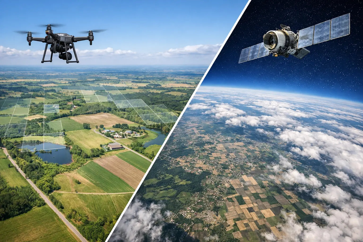
A satellite image is captured from orbit and can cover neighborhoods, cities, countries, or entire regions in a single dataset. It is particularly useful for understanding context: transport networks, surrounding land use, coastline proximity, catchment areas, regional development patterns, and environmental change over time.
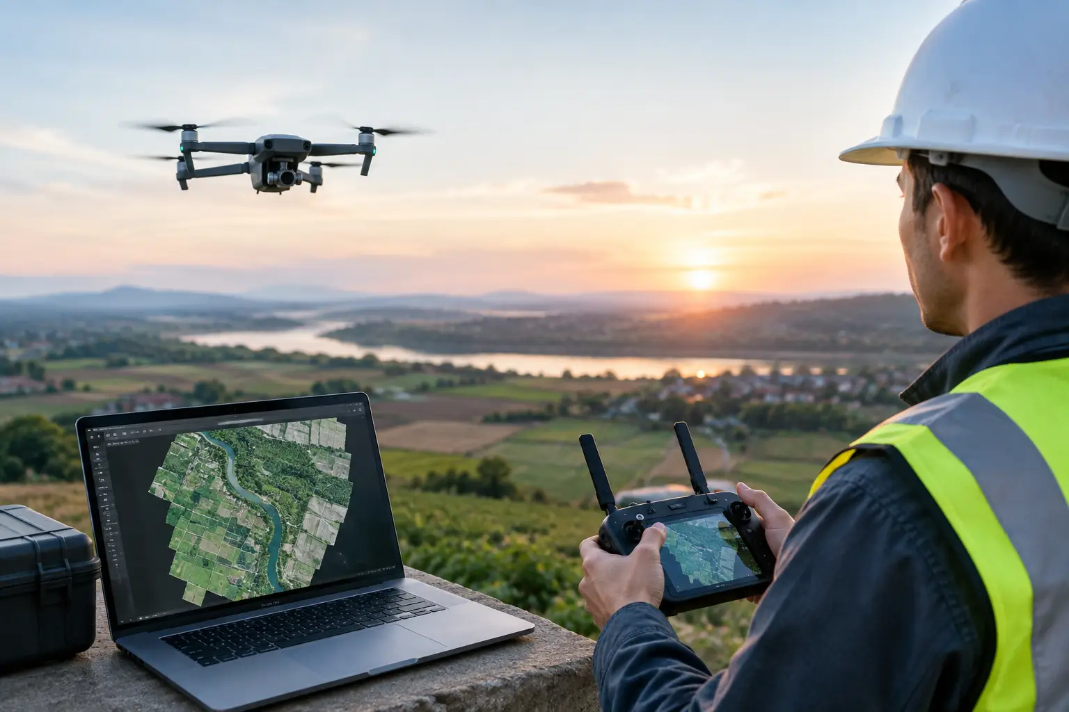
A drone orthomosaic is a large aerial map created by processing many overlapping drone photographs. Specialized photogrammetry software aligns those images, corrects for camera angle and terrain effects, and stitches them into one geometrically corrected image. The result is an overhead view that can be used as a map rather than simply viewed as an aerial photograph.
That correction matters. A standard oblique drone photo may communicate the atmosphere of a site, but it cannot reliably support distance, area, or location measurements across the frame. An orthomosaic is designed to preserve a consistent top-down perspective. When captured and processed correctly, it becomes a practical base layer for planning, progress reporting, condition documentation, and spatial coordination.
Resolution Changes What Teams Can See
Resolution is usually the deciding factor. Commercial satellite imagery may provide detail measured in feet or meters per pixel, depending on the source and acquisition type. That can be more than sufficient for master planning, land analysis, route studies, and high-level site intelligence. It is rarely sufficient for inspecting a cracked pavement edge, identifying roof penetrations, checking trench progress, or measuring the footprint of temporary works.
Drone orthomosaics can capture imagery at centimeter-level ground resolution. On a construction site, that can reveal stored materials, vehicle routes, drainage channels, façade progress, earthwork patterns, and boundary conditions with far greater visual precision. For industrial facilities, it can show asset relationships across yards, loading areas, roofs, and access points in a way that a general satellite layer cannot.
More detail does not automatically mean better decision-making. A highly detailed drone map of one parcel cannot replace satellite imagery for evaluating regional connectivity, competitor locations, flood patterns across a wider catchment, or land-use change beyond the project boundary. The correct scale depends on the question being asked.
Accuracy Depends on the Workflow, Not the Drone Alone
A drone orthomosaic should not be assumed to be survey-grade simply because it looks precise. Horizontal accuracy depends on the flight plan, camera calibration, ground conditions, image overlap, processing method, and positioning workflow. Projects that require dependable coordinates may use RTK or PPK positioning and surveyed ground control points to strengthen accuracy.
This distinction is commercially significant. A polished map can be highly effective for stakeholder communication and visual progress reporting without being appropriate for legal boundary confirmation or engineering set-out. Where measurements will influence design, quantities, compliance, or contractual decisions, the required accuracy specification should be agreed before capture begins.
Satellite imagery also varies in positional accuracy and acquisition quality. Teams should verify the source date, resolution, coordinate reference system, cloud cover, and licensing terms before using it as evidence in a technical or commercial workflow.
Timing, Weather, and Site Access
Satellite imagery is often the fastest way to obtain a wide-area view because an existing archive may already contain relevant coverage. It is useful at the earliest feasibility stage, when a team needs regional perspective before site mobilization or a field visit. However, the most recent available image may not reflect current site conditions. In rapidly changing development zones, an image that is only a few months old can be operationally outdated.
Cloud cover is another limitation in tropical markets. During monsoon periods or persistently cloudy weather, optical satellite imagery may not provide a clear view when a project needs it. Some satellite systems can collect radar data through cloud, but radar imagery serves different analytical purposes and is not a visual substitute for a high-resolution aerial orthomosaic.
Drone capture offers more control over timing. A flight can be scheduled around a construction milestone, handover inspection, progress meeting, or marketing campaign. This gives project teams a current record rather than an estimate based on an archive date. The trade-off is that drone operations still depend on suitable weather, safe airspace, site access, and local operational approvals. Wind, rain, dense urban environments, airports, and active worksites can affect the feasibility or timing of a flight.
Where Each Option Delivers More Value
Satellite imagery is strongest when the project extends beyond a single site. A hospitality operator assessing tourism corridors, a developer reviewing a potential land bank, or a retail planner studying surrounding density may need the geographic context satellites provide. It supports early screening and strategic conversations before a detailed capture program is justified.
Drone orthomosaics deliver more value when teams need current, close-range evidence. In AEC, they support earthwork monitoring, construction progress, logistics planning, and communication between site teams and off-site stakeholders. In property and industrial operations, they can document roof areas, parking layouts, external assets, access routes, and overall site condition.
For marketing, the two assets play different roles. Satellite imagery can establish location and context, while drone photography and video create a stronger emotional sense of scale. An orthomosaic is less about cinematic presentation and more about creating a usable visual record that can be annotated, measured, compared over time, or incorporated into a broader digital twin and spatial documentation workflow.
Cost Is About Rework, Not Just Capture Price
Existing satellite imagery can appear inexpensive, particularly for early-stage research. Yet a low-cost image loses value if it is too old, too coarse, obscured by cloud, or not licensed for the intended use. Higher-resolution tasking may involve lead times and a substantially different cost profile.
Drone mapping requires fieldwork, flight planning, safety coordination, processing, quality control, and delivery preparation. For a small site, that can cost more than downloading an image. For a project where current conditions affect quantities, program decisions, claims support, or stakeholder approvals, the value of timely site-specific data can exceed the capture cost quickly.
The most effective procurement decision starts with the output required. If the goal is a presentation image, the specification is different from a map used for dimensional review. If the map will be compared monthly, consistency in flight altitude, overlap, coordinate system, and reporting format becomes more important than producing a single attractive capture.
A Combined Workflow Often Produces the Better Answer
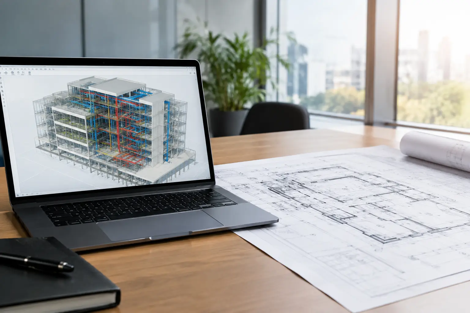
Many organizations should not choose one source exclusively. Satellite imagery can establish the broader development, infrastructure, and market context. Drone orthomosaics can then document the site at the level where operational decisions happen. Combined with LiDAR data, 360 capture, or Scan-to-BIM documentation, the aerial layer becomes part of a more complete digital representation of the asset.
For example, a developer can use satellite context during early site evaluation, commission drone mapping during construction, and connect current aerial documentation with immersive digital twin content for remote stakeholder reviews. This creates continuity from land assessment to delivery, marketing, and ongoing asset management.
Novo Reperio approaches aerial capture as a decision-support asset, not just a visual deliverable. The right output should fit the project stage, the accuracy requirement, and the people who need to act on the information.
Before commissioning either option, define the decision that the imagery must support, the required coverage area, the acceptable capture date, and the level of measurement confidence needed. That brief turns aerial imagery from an attractive image into spatial intelligence your team can use with confidence.