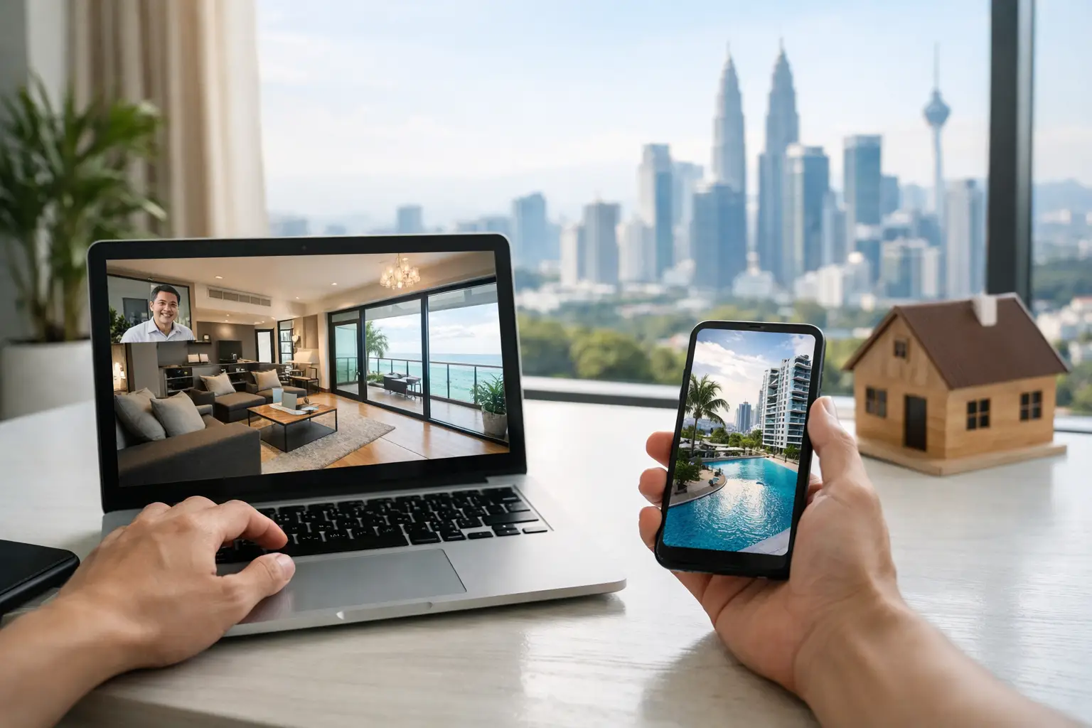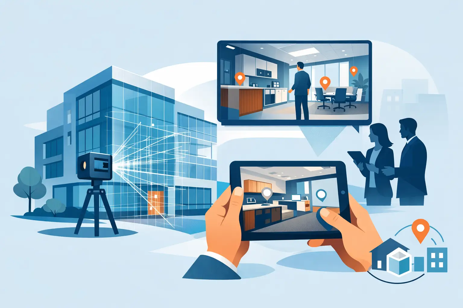

A digital twin is only valuable when people can use it to make a faster, better decision. For a property team, that may mean helping an overseas buyer explore a development before booking a viewing. For a facilities manager, it may mean locating equipment, reviewing site conditions, or planning maintenance without walking a large building. That is why the best tools for digital twins are not defined by 3D visual quality alone. They must match the business outcome, the required level of accuracy, and the systems that will use the data.
The market includes virtual tour platforms, LiDAR capture systems, scan-to-BIM workflows, common data environments, and operational visualization software. Each solves a different part of the problem. Selecting the wrong category can create an impressive online model that has limited value once the marketing campaign or project handover is complete.
Start with the decision your digital twin must support
Before comparing platforms, define what the digital asset needs to accomplish. A sales gallery, hotel, showroom, heritage site, warehouse, and construction project may all be called digital twin use cases, but their requirements are materially different.
A marketing-led twin needs intuitive navigation, polished visual presentation, simple sharing, and tools that convert interest into inquiries. An operational twin needs trusted measurements, asset data, documentation, controlled access, and integration with maintenance or building information workflows. An AEC project may need point-cloud accuracy and deliverables that design and engineering teams can work with in BIM software.
This distinction matters because visual immersion and survey-grade documentation are not interchangeable. A 360 walkthrough can be highly effective for lead generation while being unsuitable as the source for renovation measurements. Conversely, a dense point cloud can support detailed modeling but may be too technical for a prospective guest browsing a resort on a mobile device.
Best tools for digital twins: the main categories
The strongest digital twin programs usually combine capture, visualization, documentation, and integration rather than relying on one platform to do everything.
Matterport for marketing and remote space access
Matterport is a practical choice for residential and commercial real estate, hospitality, retail, showrooms, and event venues. Its core advantage is accessibility. Users can move through a space in a familiar, self-directed way, view a dollhouse model, use tags to highlight key features, and share the experience with stakeholders who may never visit in person.
For commercial teams, the value is clear: a digital twin keeps a property available for viewing around the clock, gives agents a stronger sales-enablement asset, and helps qualify interest before arranging a physical visit. Hotel operators can use it to present room types, meeting spaces, and amenities with greater context than still photography alone.
The trade-off is that Matterport should not automatically be treated as a replacement for a detailed survey, an engineering model, or a fully populated facilities database. It is particularly effective when engagement, visibility, and remote decision-making are the priorities. It can also form an effective front-end layer for broader documentation workflows.
LiDAR scanning for measurable spatial reality
LiDAR tools capture millions of spatial data points to create a point cloud representing the built environment. This is where digital twin work shifts from visual presentation toward accurate as-built intelligence. LiDAR scanning is well suited to renovations, complex industrial facilities, heritage buildings, warehouses, and projects where reliable existing-condition information reduces risk.
Platforms and ecosystems from providers such as Leica Geosystems, FARO, Trimble, and NavVis are often used for terrestrial laser scanning, mobile mapping, registration, and point-cloud management. The right option depends on the size of the site, the precision required, capture speed, environmental conditions, and the desired downstream deliverable.
A high-accuracy scan can reduce repeated site visits, provide a reference for design coordination, and help stakeholders inspect difficult-to-access areas remotely. However, a point cloud is not automatically an operational digital twin. It needs structured interpretation, often through BIM modeling, asset tagging, or a connected visualization environment, before nontechnical teams can derive full value from it.
Autodesk workflows for Scan-to-BIM and project coordination
For architecture, engineering, and construction teams, Autodesk products are commonly part of a Scan-to-BIM workflow. ReCap supports point-cloud processing and review, while Revit provides an environment for creating and managing BIM models. Autodesk Construction Cloud can then support coordination, document control, and collaboration across project teams.
This toolset is most relevant when the required outcome is a usable building model rather than a visual walkthrough alone. A Scan-to-BIM model can assist renovation planning, clash coordination, quantity analysis, construction sequencing, and future facilities documentation. It creates a more structured representation of the building, but the process requires clear modeling standards from the outset.
Teams should agree on level of detail, model elements, tolerances, naming conventions, and intended use before scanning begins. Modeling every visible object to an excessive level of detail can consume budget without improving a design or maintenance decision. A targeted model is often the more commercially sensible choice.
Bentley for infrastructure and asset lifecycle work
Bentley Systems is often considered for infrastructure, industrial assets, and larger engineering environments where a digital twin must support a long asset lifecycle. Its software ecosystem is designed around design, construction, and operational information for complex projects such as transportation networks, plants, utilities, and large facilities.
The advantage is depth. Teams can connect engineering models, inspection information, field data, and asset context across multiple stages of delivery. This makes Bentley a stronger candidate when the organization needs more than a view of a site and has the governance capacity to maintain data over time.
That depth also introduces a practical consideration: implementation is not a simple upload-and-share exercise. It requires data ownership, process alignment, and users who understand how the twin will be updated. For a single commercial property marketing campaign, this may be more capability than necessary. For a multi-site infrastructure owner, it may be a justified investment.
GIS and spatial platforms for portfolio-level context
When location is as important as the building itself, GIS platforms add useful context. Esri ArcGIS and related spatial tools can connect sites to mapping layers, land information, environmental data, utility networks, or portfolio-level operational data. They are especially valuable for campuses, municipalities, logistics networks, industrial estates, and organizations managing distributed assets.
GIS does not replace a detailed indoor twin. Instead, it provides the geographic framework that helps users understand how buildings, infrastructure, and surrounding conditions relate to one another. A property group with assets across several cities, for example, may use GIS to compare locations and asset data while using individual virtual twins for detailed site exploration.
Evaluate the platform beyond the demo
A polished demonstration can hide the implementation questions that determine long-term ROI. Decision-makers should assess the capture method, data accuracy, hosting model, user permissions, export options, integration requirements, and expected maintenance effort.
Ask whether the platform can work with existing BIM files, CAD drawings, asset registers, or facility-management systems. Confirm who owns the source data and what happens if the subscription changes. Review how the experience performs on mobile devices and lower-bandwidth connections, particularly when serving regional and international stakeholders.
Security also deserves attention. A publicly marketed virtual tour has different access needs from a detailed industrial facility model. Sensitive areas may require restricted user access, redacted information, or separate versions for internal teams and external audiences.
A practical selection approach
The most effective selection process begins with a pilot that represents a real business challenge. For example, a developer may digitize a flagship sales unit and measure inquiry quality, viewing time, and site-visit conversion. A facility operator may scan a high-maintenance plant room and test whether technicians can locate information faster or reduce unnecessary access visits.
Set success measures before launch. These may include more qualified leads, shorter approval cycles, fewer return visits to site, improved documentation accuracy, or faster handover coordination. A digital twin should be assessed as a business asset, not as a one-time content deliverable.
For many organizations, the right answer is a layered solution: immersive virtual access for customers and stakeholders, LiDAR data for accurate records, and Scan-to-BIM outputs where design or operations require structured building intelligence. Novo Reperio helps clients define that mix around the space, the audience, and the decision that matters most.
Choose the tool that makes your physical environment easier to sell, operate, document, or improve. When the capture strategy and platform are aligned with that purpose, a digital twin becomes far more than a virtual tour – it becomes a working advantage for the people responsible for the space.