
A large hotel, construction site, showroom, or industrial facility cannot be understood through a floor plan and a folder of photographs alone. Decision-makers need to see the space, measure it, verify conditions, and share context without waiting for another site visit. This guide to 3D spatial data explains how organizations can turn real-world environments into reliable digital assets for marketing, planning, operations, and remote collaboration.
3D spatial data is not one product or one camera output. It is a structured digital representation of a physical place, created through technologies such as LiDAR scanning, photogrammetry, 360 capture, drone mapping, and Scan-to-BIM workflows. The right method depends on the decisions the data must support.
What 3D Spatial Data Actually Includes
At its most useful, 3D spatial data combines geometry, location, visual context, and often measurement information. A point cloud, for example, contains millions or billions of measured points that describe surfaces in three dimensions. A digital twin may add a navigable visual experience, embedded tags, media, documents, and links to key assets. A BIM model converts captured conditions into organized, usable building elements.
These outputs serve different purposes. A property team may need an immersive virtual tour that gives prospective tenants a confident sense of scale and flow. An architect planning a renovation may require an accurate point cloud and existing-condition model. A facilities manager may need a digital reference of plant rooms, equipment locations, access routes, and maintenance documentation.
The common value is context. Instead of asking stakeholders to interpret disconnected drawings, images, and notes, 3D spatial data gives them a shared view of the actual environment.
Why 3D Spatial Data Matters to Commercial Teams
Physical spaces create friction when they are difficult to access, document, or explain. This is especially common in projects involving multiple stakeholders, overseas investors, active construction sites, large portfolios, or operationally sensitive areas.
For marketing teams, spatial capture can increase the quality of online engagement by allowing buyers, guests, or tenants to explore a space on their own terms. A digital twin does not replace an in-person viewing for every prospect, but it helps qualify interest earlier and gives sales teams a stronger asset for follow-up.
For AEC teams, accurate existing-condition capture reduces dependence on outdated drawings and manual site measurements. That can improve coordination before design work begins, particularly in renovation, retrofit, heritage, and complex fit-out projects. The commercial benefit is not simply faster modeling. It is fewer assumptions carried into design, pricing, and construction planning.
For facilities and industrial operations, the benefit is continuity. A well-organized spatial record can support maintenance planning, staff onboarding, asset verification, and remote troubleshooting. When a team can inspect a location digitally before traveling, site visits become more targeted rather than routine.
Start With the Decision, Not the Technology
The most costly mistake in a spatial-data project is commissioning an impressive capture without defining how it will be used. A highly detailed scan may be unnecessary for a marketing-only virtual tour. Conversely, a lightweight visual walkthrough is not enough when engineers need dimensional accuracy for design coordination.
Before selecting a capture method, define the primary decision the deliverable must support. Ask whether the objective is to attract leads, verify existing conditions, create design documentation, manage assets, monitor progress, or train staff. Then identify who needs access to the information and what they must be able to do with it.
A practical project brief should establish the required level of accuracy, deliverables, coverage area, access limitations, preferred file formats, and intended lifespan of the asset. It should also clarify whether the space will change frequently. A retail pop-up may need fast visual capture, while a new airport terminal or manufacturing facility may justify a more detailed and maintainable dataset.
Choosing the Right Capture Method
LiDAR scanning for measurement and documentation
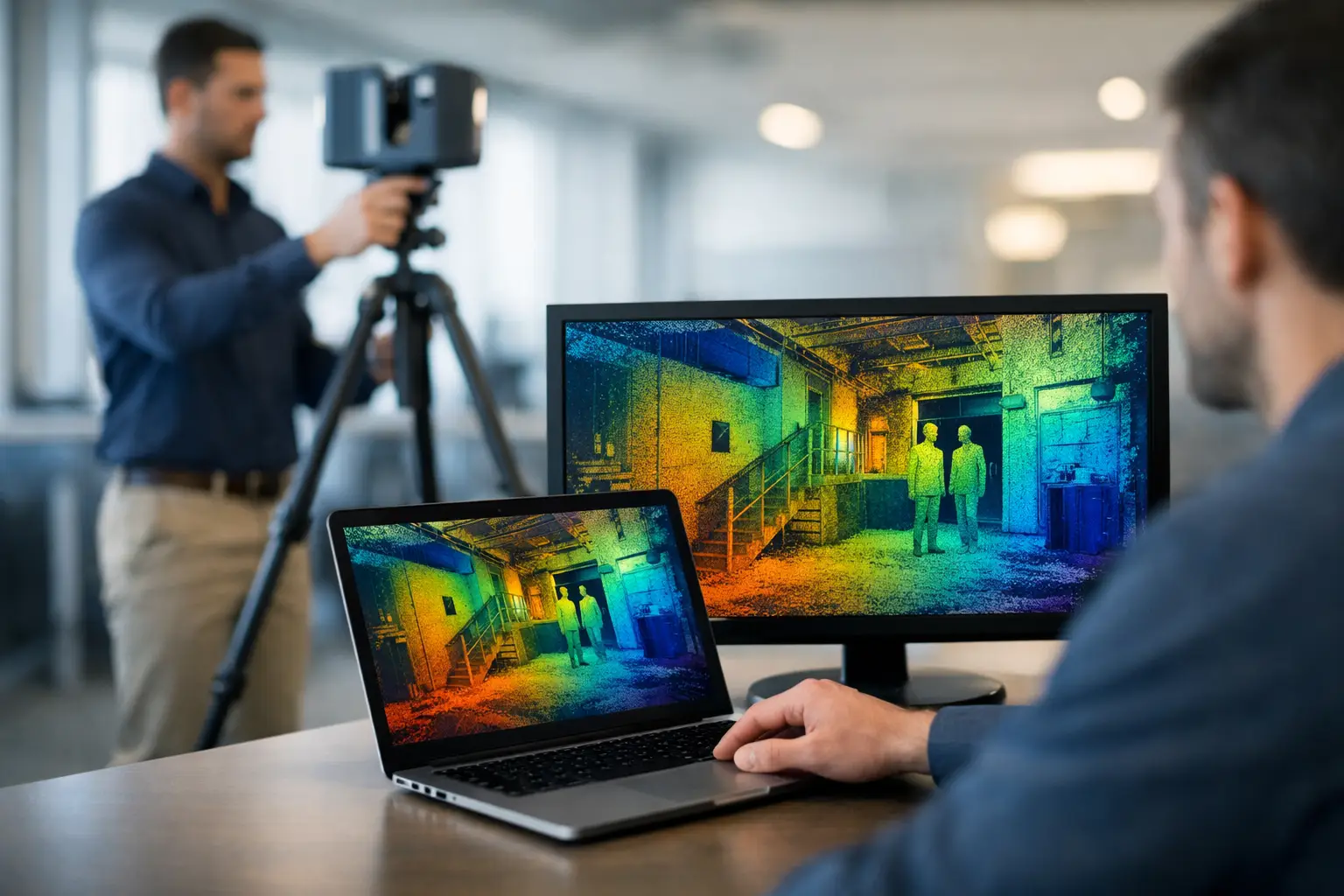
LiDAR uses laser measurements to capture the geometry of a space. It is widely used for as-built documentation, Scan-to-BIM, renovation planning, industrial environments, and complex facilities where reliable dimensions matter.
The core output is typically a point cloud. From there, teams can generate 2D drawings, mesh models, orthographic views, or BIM models. LiDAR is especially valuable where manual measurement would be slow, disruptive, or prone to gaps, such as mechanical rooms, warehouses, multistory properties, and detailed façades.
Accuracy requirements should be discussed early. More precision can mean additional field time, more scan positions, greater processing effort, and larger files. The best specification is the one that is fit for purpose, not the highest possible number by default.
360 digital twins for engagement and remote access
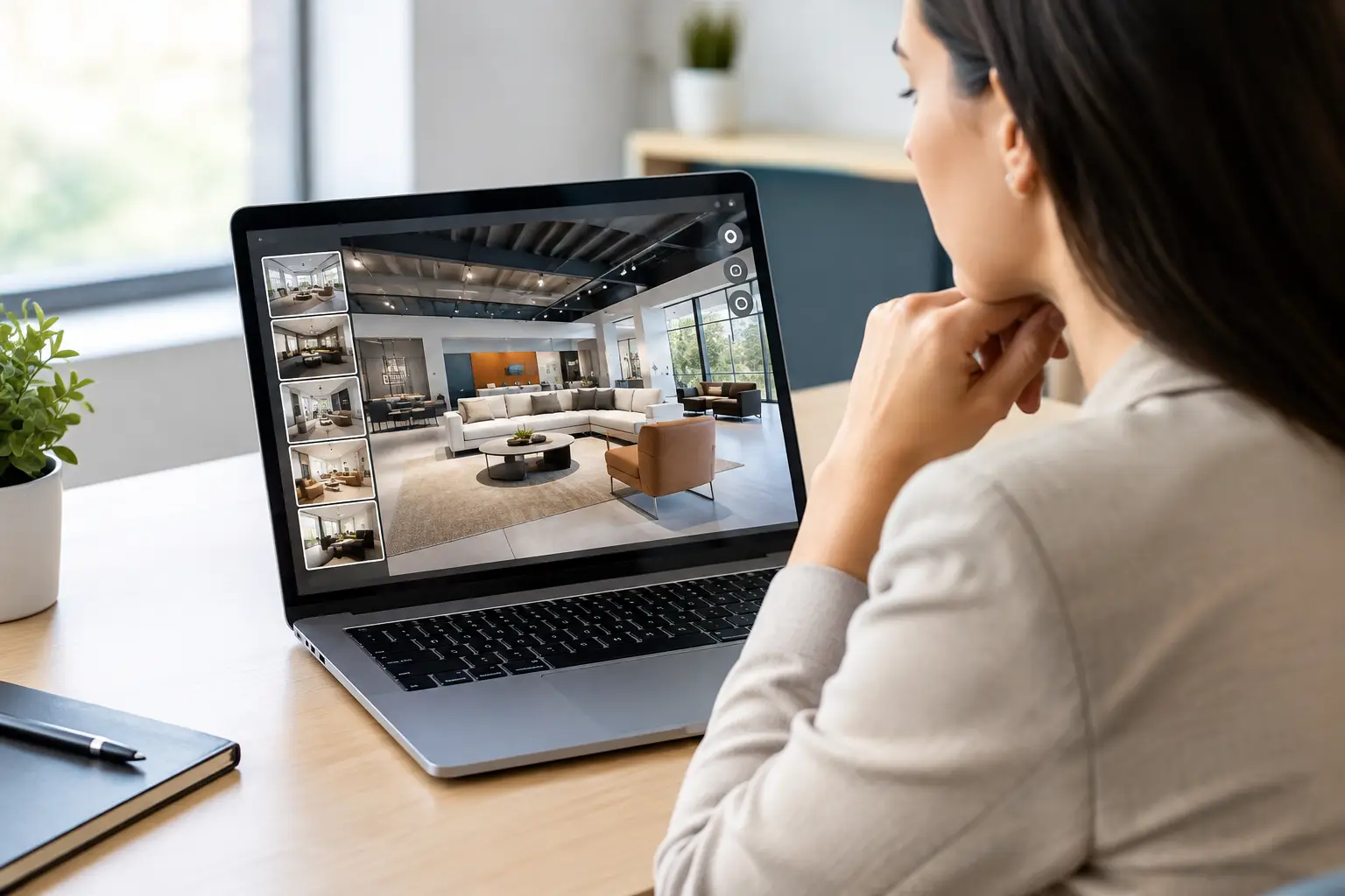
A 360 virtual tour or Matterport digital twin is designed primarily around exploration. Users can move through a space, understand room relationships, and access embedded information from a browser. This makes it highly effective for property marketing, hospitality, venues, showrooms, museums, and remote stakeholder reviews.
Visual quality and user experience are central here. Lighting, staging, scan route planning, and information tags influence how credible and useful the final experience feels. A digital twin can also help sales teams show a completed project, a sample unit, or a venue layout long after the initial shoot.
Its limitation is that it should not automatically be treated as survey-grade documentation. Where formal measurement, design modeling, or verification is required, it may need to sit alongside LiDAR capture or a dedicated survey workflow.
Drone mapping for large sites and external conditions
Drone photography and mapping add a perspective that indoor capture cannot provide. They are useful for land, roofs, construction progress, external façades, resorts, industrial compounds, and large-scale development sites.
Aerial imagery can create orthomosaic maps, terrain models, progress visuals, and compelling marketing content. However, flight permissions, weather, surrounding airspace, surface visibility, and local regulations all affect feasibility. In dense urban areas, drone work may require more planning than the project team expects.
Scan-to-BIM for coordinated project delivery
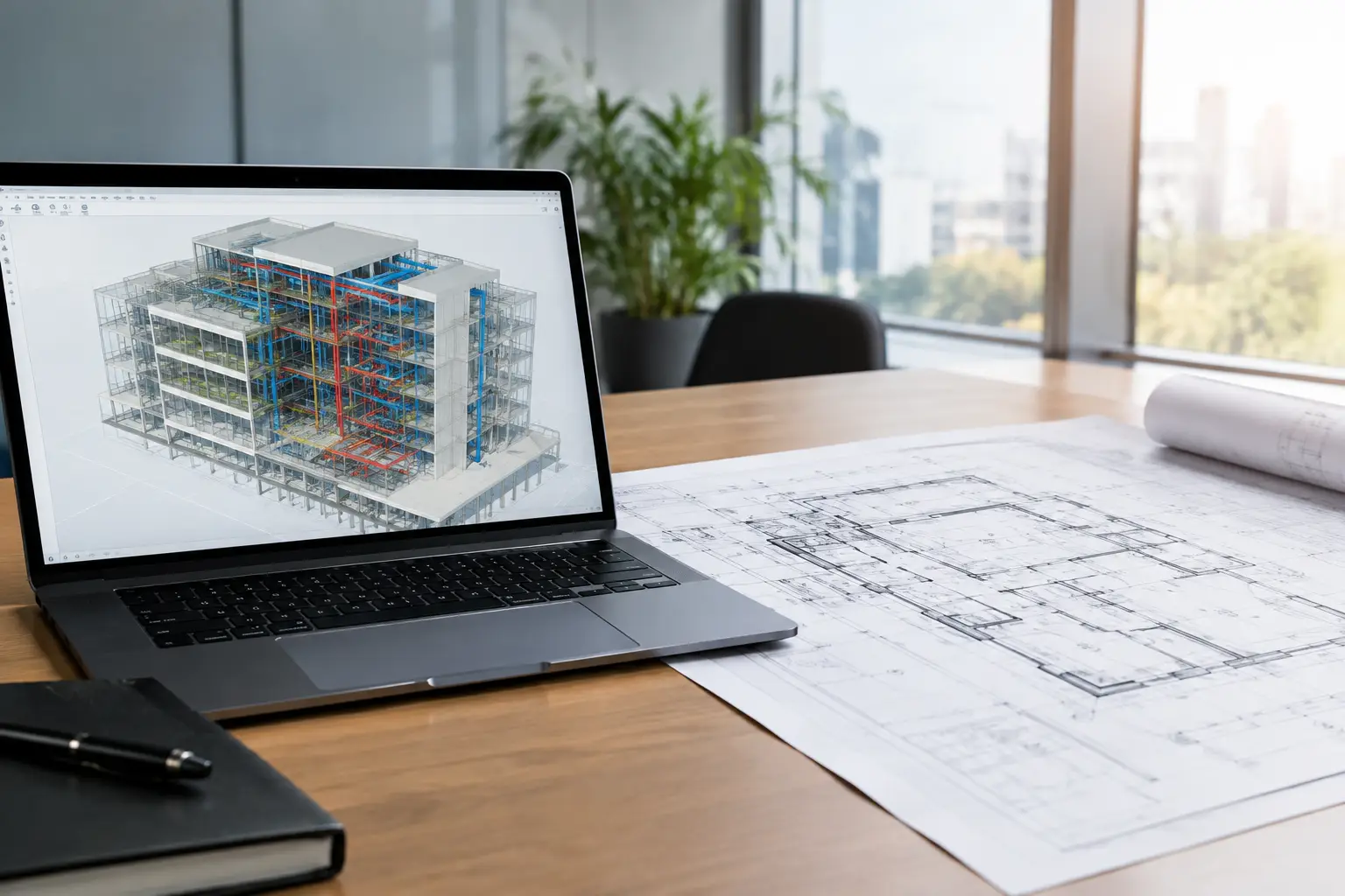
Scan-to-BIM turns captured conditions into a model that design and construction teams can use. The workflow is particularly relevant when existing drawings are incomplete or unreliable, and when renovation decisions depend on accurate information about walls, slabs, ceilings, services, and structural elements.
A BIM model is not a direct copy of the scan. It requires interpretation, modeling standards, and agreed levels of detail. Teams should specify exactly what is to be modeled and what will remain in the point cloud. Modeling every visible object can add cost without improving the project outcome.
A Practical Workflow for Reliable Results
Effective 3D spatial data projects usually follow a clear sequence. First, the team defines objectives and deliverables. Next comes a site assessment covering access, operating hours, safety requirements, lighting, reflective surfaces, occupied areas, and zones that cannot be captured.
During capture, consistency matters. The scanning team needs adequate coverage and overlap so that data aligns correctly and users can navigate without confusing gaps. In active facilities or construction sites, timing is equally important. A scan taken during a major equipment move or before a key installation may become outdated quickly.
Processing transforms raw capture into useful outputs. This may involve point-cloud registration, image alignment, quality checks, cleaning, model creation, tour assembly, labeling, and delivery in agreed formats. Quality assurance should compare the result with the brief, not just confirm that files were produced.
Finally, make the asset usable. Assign ownership, define who can update tags or documents, decide where files will be stored, and establish access permissions. A spatial dataset delivers more value when it is part of a working process rather than a one-time archive.
Data Quality, Security, and Long-Term Value
Spatial data can contain sensitive information: security layouts, equipment labels, tenant details, production processes, or personal information visible during capture. Access controls should match the audience. A public-facing virtual tour needs a different review process from an internal facility model.
File size and compatibility also matter. Point clouds can be heavy, BIM files may require specialist software, and web-based twins depend on a stable hosting strategy. Ask early whether users need browser access, downloadable files, integrations with existing systems, or controlled access for multiple project partners.
The lasting value comes from planning updates. If a site changes after a renovation, lease turnover, or equipment replacement, decide whether to rescan the entire environment or update selected content layers. For fast-changing spaces, a simple visual twin with current tags may be more useful than a highly detailed model that is never maintained.
Turning Capture Into a Business Asset
The strongest spatial-data programs connect capture to measurable outcomes. A real estate team can track viewing engagement and lead quality. A hotel can use a virtual experience to help event planners evaluate spaces before a site inspection. A project team can compare captured conditions against design intent and reduce rework caused by incomplete information.
For organizations managing multiple properties across Malaysia, Singapore, or Southeast Asia, consistency becomes especially valuable. Using common naming conventions, capture standards, and delivery formats makes portfolio information easier to compare and reuse. Novo Reperio approaches this work as an implementation partnership: the objective is not merely to produce compelling visuals, but to create spatial assets that support the next commercial or operational decision.
Start with one environment where access, documentation, or presentation is currently slowing the business down. A well-scoped first project will reveal which level of 3D detail creates real value, and provide a stronger foundation for scaling across the rest of the portfolio.