
A maintenance manager should not have to walk half a plant to verify the location of a valve, check a clearance, or explain an equipment issue to an external contractor. Yet this remains routine when facility information is spread across aging drawings, isolated photos, tribal knowledge, and disconnected asset registers. Industrial facility digital capture changes that position by creating a current, navigable record of the physical site – one that teams can inspect, measure, communicate, and use from anywhere.
For factories, warehouses, process plants, and utility-intensive commercial facilities, the value is not simply a better visual record. The real value is a more reliable basis for planning work, reducing site visits, coordinating stakeholders, and making decisions before resources are committed.
What Industrial Facility Digital Capture Should Deliver
Industrial capture is often mistaken for photography or a virtual tour. Those deliverables can be valuable, particularly for remote stakeholder access and training, but they are only part of the opportunity. A well-designed capture program combines the right level of visual detail, spatial accuracy, and data structure for the decisions a facility needs to make.
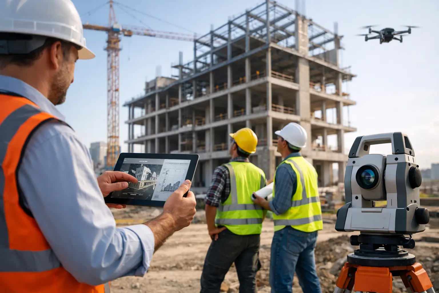
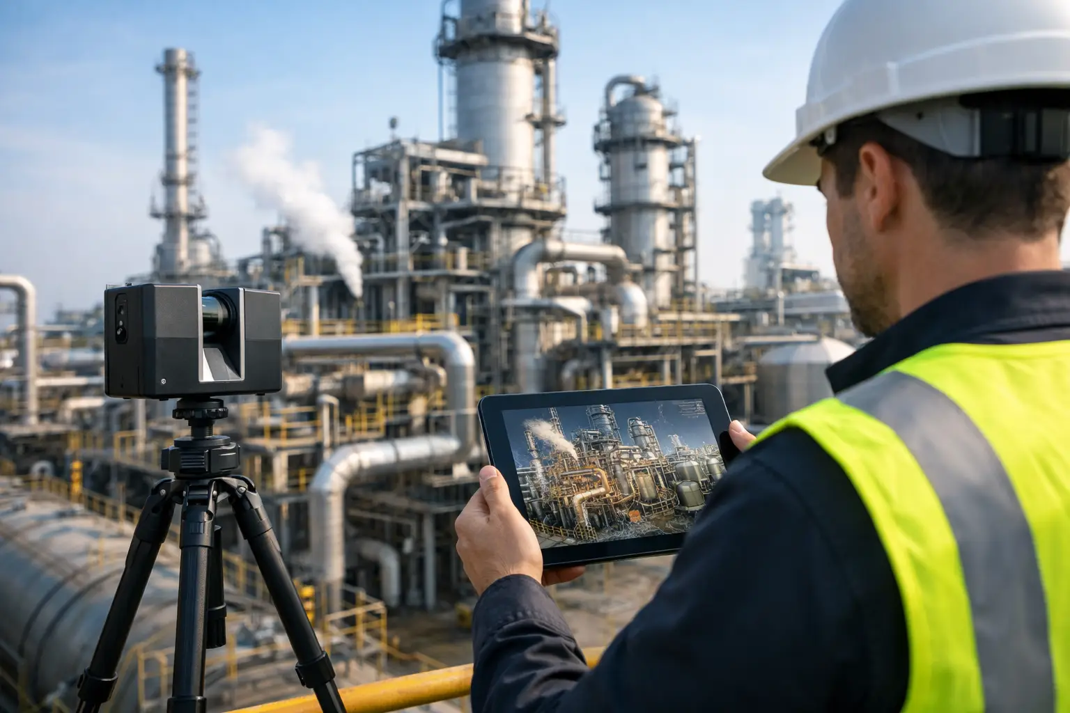
LiDAR scanning produces precise point-cloud data that records geometry across large and complex environments. That data can support measured floor plans, 3D models, elevation references, clash review, and Scan-to-BIM workflows. A Matterport digital twin or 360 virtual environment adds an accessible visual layer, allowing authorized users to move through the site, orient themselves quickly, and share locations without relying on lengthy explanations.
Drone imagery can add vital context for roofs, yards, façades, access routes, drainage, and other areas that are difficult or unsafe to inspect from the ground. When these outputs are planned as one spatial system rather than separate media assets, a facility gains a practical digital reference rather than a collection of files.
The appropriate level of detail depends on the use case. A regional distribution center preparing a lease or asset sale may prioritize an immersive walkthrough, aerial imagery, and polished commercial documentation. A manufacturing plant planning a line upgrade may need survey-grade control, dense LiDAR coverage, and a BIM-ready model. Capturing more data than the project requires can increase cost and processing time. Capturing too little can force another mobilization when the design team discovers a missing dimension or inaccessible area.
Where Digital Capture Creates Operational Value
The strongest business case starts with a specific operational friction. If teams regularly spend hours locating information, arranging access, revisiting spaces, or reconciling drawings with site conditions, digital capture can reduce that effort.
Maintenance planning and contractor coordination
Before a shutdown, maintenance teams can use a current digital record to review access paths, identify nearby equipment, confirm working clearances, and brief contractors on site conditions. This does not replace physical verification for safety-critical work. It does reduce avoidable site walks and gives external specialists a clearer understanding before arriving.
Visual context is especially useful when a contractor is unfamiliar with a facility. Instead of sending a marked-up photo with little orientation, a manager can direct the team to a precise area within a virtual environment and provide the surrounding context. The result is better scoping, fewer assumptions, and more productive pre-work discussions.
Renovation, retrofit, and expansion
Legacy facilities rarely match their original drawings exactly. Equipment moves, additions are made, and services evolve over years of operation. Designing from outdated information increases the risk of clashes, rework, and late-stage changes.
LiDAR-based as-built documentation provides a defensible starting point for renovation planning. Scan-to-BIM can convert captured conditions into models that designers and engineers can coordinate against. The model’s required accuracy and level of development should be defined early. A model intended for broad space planning is not the same as one needed to coordinate mechanical, electrical, and piping systems in a constrained plant room.
Remote management and faster approvals
Industrial sites often involve owners, consultants, insurers, engineering teams, procurement stakeholders, and operational staff in different locations. A digital twin creates a shared visual reference that helps everyone discuss the same condition. This is useful across Malaysia and Southeast Asia, where travel between facilities or across regional operations can delay straightforward approvals.
Remote access is not a substitute for every inspection. It is a way to reserve physical visits for work that genuinely requires them. For many early discussions, budgeting exercises, vendor evaluations, and condition reviews, a well-captured site provides enough context to keep decisions moving.
Training, safety communication, and continuity
Experienced staff carry knowledge that may never appear in a drawing: which entrance best serves a particular area, where access becomes constrained, or how equipment is arranged around a process. Digital capture helps document that spatial context for new employees, contractors, and cross-functional teams.
Used carefully, it can support induction materials, emergency familiarization, and task planning. Security still matters. Facilities should define user permissions, restricted zones, and rules for the visibility of sensitive equipment or processes. A useful digital environment must be accessible to the right people without creating unnecessary exposure.
A Better Approach to Industrial Facility Digital Capture
The capture technology matters, but project definition matters first. The best results come from connecting the survey plan to the decisions the client needs to make after delivery.
Start by identifying the priority outcomes. Is the facility preparing for an expansion? Does it need verified as-built information for a consultant? Is maintenance losing time to poor site visibility? Is a commercial team trying to present a warehouse or production facility to qualified prospects without disrupting operations? These questions determine the capture scope, resolution, access requirements, and final deliverables.
Next, establish the operational conditions for capture. Industrial environments introduce variables that do not exist in a typical property scan: active vehicle movements, reflective surfaces, high ceilings, elevated equipment, restricted rooms, heat, noise, dust, and safety protocols. A capture partner needs a clear access plan, site escort requirements, permit process, and schedule that minimizes production disruption.
It is also essential to decide what will be measured and what will be visually documented. LiDAR is highly effective for geometry, but occlusions still exist behind equipment, inside closed panels, or above dense overhead services. Some areas may require targeted supplementary scans or manual verification. Setting these boundaries in advance prevents false expectations about what a point cloud or model can prove.
Finally, plan for use after delivery. A point cloud stored on a drive has limited business value if no team can access or interpret it. A digital twin should be organized with logical navigation, clear labels where appropriate, and permissions aligned to its audience. BIM and CAD outputs should match the receiving team’s software standards, coordinate system, and modeling requirements. This is where an end-to-end partner adds value: capture is only the first step; usable integration is the outcome.
Choosing the Right Deliverables
A single industrial facility may need several outputs, but not every project needs all of them. The most effective package aligns each deliverable with a defined user.
For operations teams, an interactive digital twin can make the facility easier to inspect remotely and share with contractors. For engineering and capital-project teams, registered LiDAR point clouds, accurate 2D drawings, or a Scan-to-BIM model may be the priority. For commercial or stakeholder communication, high-quality photography, aerial coverage, and a guided walkthrough can present scale and capability far more effectively than static plans.
Accuracy requirements deserve particular attention. If the data will inform fabrication, equipment placement, or formal design coordination, survey control and documented tolerances are critical. If the aim is general visualization and preliminary planning, a lighter workflow may deliver stronger value at a lower cost. Precision should be purposeful, not assumed.
Turning a Captured Site Into a Long-Term Asset
A facility changes. New equipment arrives, storage layouts shift, and improvement projects alter access or infrastructure. That makes digital capture most valuable when it is treated as a maintainable asset rather than a one-time project.
For high-change environments, schedule updates after major projects, reconfigurations, or periodic condition reviews. For stable facilities, a baseline capture may support years of planning, provided users understand its capture date and limitations. Maintaining this discipline protects trust in the data. If teams begin relying on a digital model that no longer reflects reality, it can create the same problems as outdated drawings.
Novo Reperio approaches industrial environments as operational systems, not just visual subjects. By combining LiDAR mapping, digital twin technology, Scan-to-BIM workflows, and clear delivery planning, the goal is to give teams information they can act on – whether they are planning a retrofit, preparing a maintenance shutdown, or showing a facility to a decision-maker who cannot be on site.
The most useful next step is not selecting a scanner or requesting a generic virtual tour. It is identifying one decision that is currently slowed by incomplete site information, then capturing the facility at the level of detail needed to make that decision faster and with greater confidence.