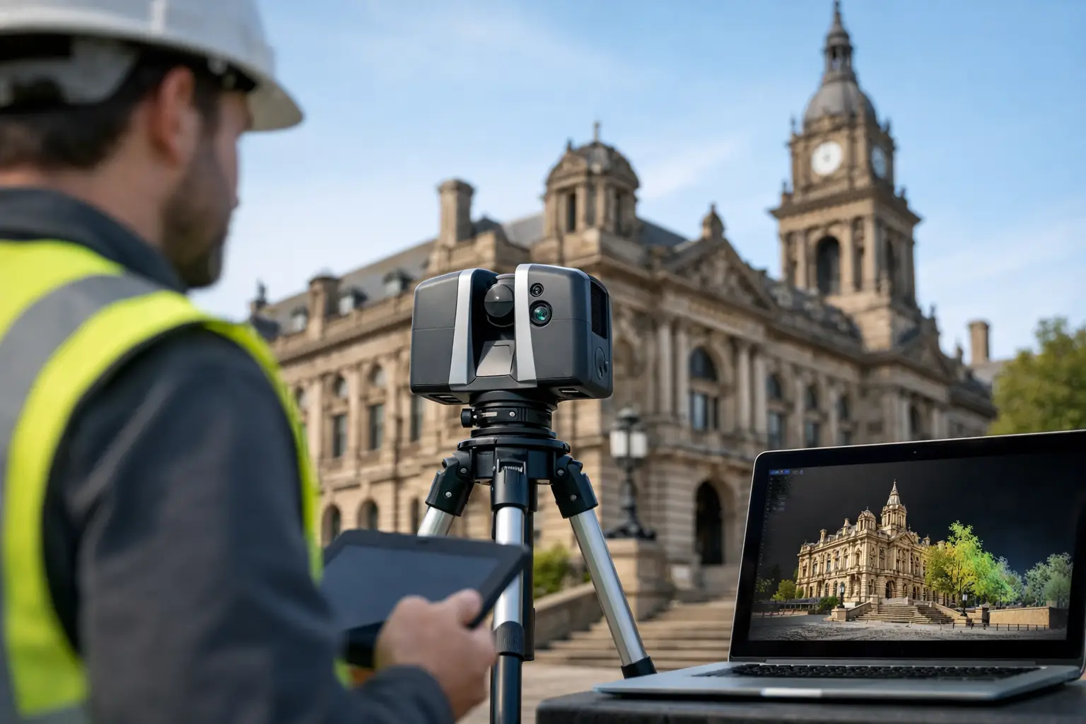

A heritage building rarely gives you a second chance to document it correctly. Decorative plaster may be fragile, access may be restricted, and a renovation team may need accurate records before any surface is touched. Knowing how to scan heritage buildings is therefore not just a technical question. It is a way to preserve evidence, reduce design assumptions, and give owners, consultants, and authorities one reliable view of the asset.
For museums, historic hotels, cultural institutions, and adaptive-reuse developers, spatial capture turns a difficult-to-access building into a usable digital asset. The right workflow can support conservation decisions, measured drawings, virtual access, stakeholder approvals, and future maintenance without repeatedly disturbing the site.
Start with the purpose, not the scanner
Heritage scanning should begin with a clear statement of what the data must achieve. A conservation architect preparing restoration drawings needs a different output from a property operator creating a virtual visitor experience. Both may involve LiDAR, photography, and 360 capture, but the capture density, tolerances, deliverables, and budget will differ.
Common objectives include documenting existing conditions before renovation, producing a point cloud for Scan-to-BIM, recording damage for insurance or restoration planning, creating archival records, or publishing an immersive tour for remote audiences. Establish the intended use early, then agree on accuracy requirements with the architect, surveyor, conservation specialist, or facilities team.
A highly detailed façade scan may be essential where ornament is being reconstructed. It may be unnecessary for a virtual tour focused on public rooms. Capturing more data than the project requires adds time, file-management overhead, and processing cost. Capturing too little leaves teams measuring from photographs later, often when access has become more difficult.
Build a heritage-safe capture plan
A site survey comes before field scanning. The team should assess access routes, floor stability, lighting, sensitive artifacts, ceiling heights, exterior visibility, and areas where tripods or drones are not permitted. Historic sites frequently contain tight staircases, reflective display cases, uneven floors, and poorly lit service spaces. These conditions affect both safety and data quality.
Coordinate access with the building owner and conservation lead. Define which rooms can be entered, whether visitors will be present, what equipment can be placed on original flooring, and whether flash or supplemental lighting is allowed. If the project includes drone mapping, verify local airspace, site restrictions, and the need for controlled flight paths before mobilization.
It also helps to divide the building into logical zones: exterior envelope, public interiors, service areas, roof spaces, and landscape features. This creates a capture sequence that minimizes disruption and reduces the risk of missing transitional spaces such as stairwells, corridors, and threshold details.
Record condition before changing anything
The scan should document the building as found, not as remembered after work begins. Capture cracks, water staining, displaced tiles, worn finishes, deformations, and temporary supports where relevant. High-resolution photographs add crucial visual context to LiDAR geometry, especially for material condition and decorative details.
This baseline can become a reference for contractor coordination, restoration claims, and future inspections. It is particularly valuable when several parties are involved and decisions need to be traced back to the building’s pre-intervention state.
Use the right mix of spatial capture methods
No single technology captures every heritage condition equally well. A strong project often combines several methods rather than treating scanning as a one-tool exercise.
Terrestrial LiDAR is the foundation for accurate geometry. It rapidly measures millions of points across floors, walls, ceilings, staircases, and complex interiors, producing a point cloud that can be registered into a coordinated spatial record. For restoration planning and Scan-to-BIM, this gives architects and engineers a measurable basis for modeling existing conditions.
Photogrammetry is useful where surface texture and intricate exterior detail matter. Overlapping high-resolution images can create detailed textured meshes of façades, sculptures, roofs, and landscape elements. It is effective when paired with LiDAR because photography provides visual richness while LiDAR provides dependable spatial control.
360 capture and digital twin platforms serve a different but complementary role. They allow remote stakeholders to walk through rooms, review context, and communicate without another physical site visit. A hotel owner considering adaptive reuse, for example, can show investors original interior character while design teams use the underlying documentation to plan interventions.
Drone photography and aerial mapping can reveal roof conditions, upper façades, drainage paths, and site relationships that are hard to inspect safely from the ground. However, dense vegetation, narrow urban settings, and restricted airspace can limit its usefulness. In those cases, terrestrial scanning and elevated photography may be more practical.
How to scan heritage buildings with reliable control
Accuracy depends on more than a good scanner. Each scan position must overlap sufficiently with adjacent positions so the software can register the data correctly. Large halls, repetitive corridors, reflective surfaces, and rooms connected by narrow openings require extra planning because they can confuse automatic alignment.
Survey control points provide a dependable reference framework, particularly for large properties, multi-floor structures, exterior-to-interior coordination, or projects that must align with design drawings and site coordinates. Control is also important when comparing scans captured at different stages of restoration.
During acquisition, technicians should review registration quality and coverage on site. Waiting until the team has left to discover a missing ceiling vault, blocked room, or misaligned floor can create expensive return visits. Field notes should record inaccessible areas, temporary obstructions, scan locations, and any conditions that may affect interpretation.
Reflective glass, polished stone, water, and glossy metal deserve special attention. These materials can produce noise or gaps in a point cloud. The answer is not always to scan repeatedly. Sometimes the best approach is to supplement the dataset with photography, change scan angles, or clearly identify the limitation in the final documentation.
Protect the original fabric while working
Heritage-grade scanning is non-contact, but the operation still needs discipline. Use protective feet on tripods where required, keep equipment clear of fragile finishes, and avoid creating congestion around artifacts or narrow circulation paths. The capture team should work as carefully as any other specialist on site.
Where public access continues during scanning, schedule work during quieter periods and establish safe, discreet operating zones. This protects visitors while preventing people from appearing repeatedly in imagery or obscuring key geometry.
Turn raw data into decision-ready deliverables
A point cloud is valuable, but it is not automatically useful to every project team. The real value comes from processing and delivering the data in forms that match practical decisions.
For AEC teams, a registered point cloud can be converted into an as-built BIM model. This Scan-to-BIM workflow gives designers structured geometry for walls, floors, roofs, doors, windows, and visible building elements. The model may be developed to different levels of detail depending on whether it supports feasibility studies, coordination, restoration documentation, or facility management.
For conservation teams, orthographic elevations, floor plans, sections, and measured imagery can make defects and dimensions easier to review. For commercial stakeholders, an interactive digital twin can bring the same historic space to remote audiences, potential partners, and international visitors. The outputs should be coordinated rather than created as isolated files: one spatial capture campaign can support technical, operational, and visitor-facing uses.
Data governance matters as well. Establish file formats, naming conventions, coordinate systems, access permissions, and long-term storage responsibilities. Heritage records have a longer useful life than many project files. A well-organized archive allows future teams to understand what was captured, when it was captured, and how precise the record is.
Plan for the realities of restoration projects
Historic buildings are rarely square, level, or consistent. Floors settle, walls lean, additions obscure original structures, and available drawings may not reflect later modifications. The digital model should represent those realities rather than forcing the building into idealized geometry.
This is where teams need to agree on tolerances. A BIM model for space planning may simplify minor irregularities. A model used to fabricate replacement components or assess structural movement needs far more fidelity. Clarifying that distinction prevents disputes about whether a model is “accurate” when different users mean different things by the term.
Phased scanning can also be more valuable than a single survey. Capture before intervention, after selective demolition, and after restoration to create an evidence trail of the work. This approach supports progress verification, reduces ambiguity between consultants and contractors, and preserves information that may be covered once finishes are reinstated.
For projects across Malaysia and Southeast Asia, climate introduces another consideration. Heavy rain, humidity, harsh sunlight, and dense urban access can affect exterior capture schedules and image quality. A flexible plan with weather contingencies is more reliable than treating the scan as a one-day task regardless of site conditions.
A carefully planned scan does more than create impressive visuals. It gives every future conversation about the building a shared, measurable starting point – helping teams protect original character while making restoration, operations, and public access easier to manage.