
A warehouse layout can change faster than its drawings. A new racking run, temporary staging zone, relocated conveyor, or revised fire route may be operationally necessary, yet the documentation often lags behind. Warehouse 3D mapping services create a current, measurable digital record of the facility so operations, engineering, and management teams can plan from the same spatial reality.
For warehouse operators, the value is not simply a visually impressive model. It is the ability to inspect spaces remotely, validate dimensions before changes are made, document asset locations, and communicate plans without relying on outdated floor plans or repeated site visits. The result is better control over a complex environment where space, safety, throughput, and downtime are closely connected.
What warehouse 3D mapping services deliver
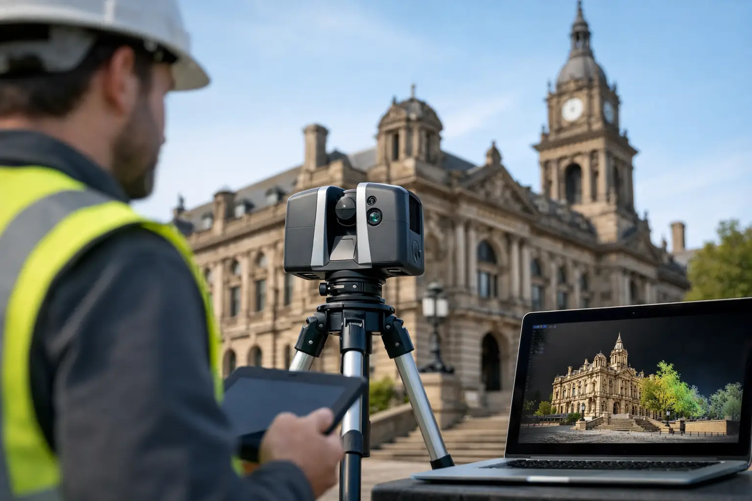
Warehouse 3D mapping combines LiDAR scanning, high-resolution imagery, and spatial data processing to capture the physical environment in three dimensions. Depending on the project scope, the output may include a navigable digital twin, a point cloud, measured floor plans, 2D elevations, a 3D mesh model, or Scan-to-BIM documentation.
Each deliverable serves a different decision. A virtual walkthrough helps managers and external stakeholders inspect the facility from anywhere. A LiDAR point cloud provides precise measurement data for engineering coordination. A BIM-ready model supports renovation, equipment installation, and long-term facility management. The right combination depends on whether the primary objective is operations, compliance, design planning, training, asset management, or stakeholder communication.
A useful warehouse model should capture more than walls and floor area. It should represent racking, loading bays, columns, mezzanines, conveyor systems, clearance zones, access routes, utility infrastructure, and relevant equipment. The model becomes far more valuable when it reflects the operational conditions that affect daily decisions.
Why accurate spatial data matters in a warehouse
Warehouses are measured in more than square footage. Clear height, aisle width, turning radius, rack spacing, dock geometry, and the position of fixed equipment all influence capacity and efficiency. A small discrepancy in one area can create expensive problems when a new system, storage configuration, or material-handling asset is introduced.
Traditional drawings can be useful, but they are often incomplete after years of incremental changes. Manual measurement is slow and may require access to active areas, disrupting operations or exposing teams to unnecessary risk. A 3D scan captures existing conditions at a point in time, allowing stakeholders to review the facility without repeatedly returning to the site.
This matters especially when decisions involve multiple parties. A regional operations lead, equipment vendor, architect, safety consultant, and landlord may all need to assess the same location. A shared digital environment reduces interpretation gaps. Instead of debating whether a clearance exists, teams can inspect the spatial data and verify it against the required dimensions.
Warehouse 3D mapping for planning and optimization
Layout changes without guesswork
Reconfiguring storage or introducing automation begins with a basic question: will it fit and operate safely? Accurate 3D mapping gives project teams a reliable existing-condition reference before they commit to design, procurement, or installation.
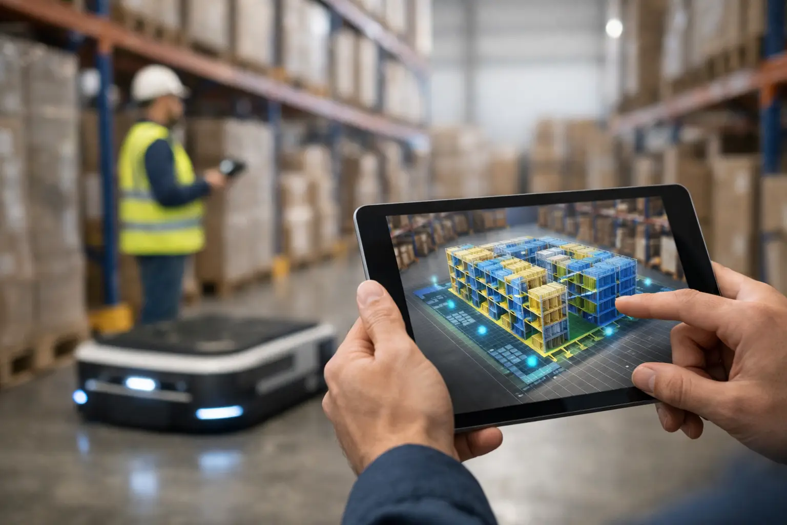
This is particularly valuable for facilities considering selective automation. Autonomous mobile robots, pick-to-light systems, conveyors, pallet shuttles, and new racking layouts all have different space and access requirements. A digital model helps teams assess circulation paths, identify constraints, and prepare a more informed installation plan. It does not replace engineering design, but it gives designers and vendors a better foundation for that work.
Faster maintenance and capital planning
Maintenance teams often need to understand where equipment sits in relation to structure, utilities, access routes, and adjacent operations. A mapped warehouse can shorten the time required to plan inspections, coordinate contractors, and prepare shutdown activities.
For capital projects, the same data supports more reliable scoping. Instead of commissioning multiple site measurements as planning advances, teams can reference a detailed digital record. This can reduce preliminary site visits and help external consultants arrive better prepared. The savings are most meaningful when the facility is large, difficult to access, geographically remote, or active around the clock.
Better use of remote expertise
A warehouse in Kuala Lumpur may need input from an equipment specialist in Singapore, an engineering team in another market, or ownership representatives who cannot visit on short notice. A digital twin or browser-based 3D environment gives those stakeholders a practical way to examine the site before travel is required.
Remote review is not a substitute for every physical inspection. Projects involving safety approvals, detailed installations, or critical equipment should still include appropriate on-site verification. However, remote spatial access can focus those visits on the decisions that truly require them.
From scan to usable facility intelligence
The quality of a warehouse mapping project depends on more than the scanner. A productive workflow starts with defining the decision the data needs to support. If the goal is a lease handover record, the capture approach will differ from a project intended for Scan-to-BIM modeling or an interactive operations walkthrough.
Before capture, the project team should identify active zones, restricted areas, high-value assets, safety procedures, and the level of detail needed. Warehouses often operate continuously, so scanning must be planned around vehicle movement, loading schedules, pedestrian access, and security requirements. Capturing during quieter windows can improve coverage, but a facility does not always need to stop operating for a mapping project to proceed.
After field capture, the raw spatial information is registered, cleaned, and processed into agreed deliverables. This is where accuracy requirements matter. A marketing-oriented virtual tour and an as-built model for equipment coordination should not be treated as the same product. The intended use determines the required precision, documentation standards, and quality checks.
At Novo Reperio, this approach connects LiDAR capture and immersive visualization to a clear commercial or operational objective. The aim is to create an asset that remains useful after the initial project presentation, whether it supports a facility upgrade, contractor coordination, maintenance planning, or internal training.
Selecting the right mapping output
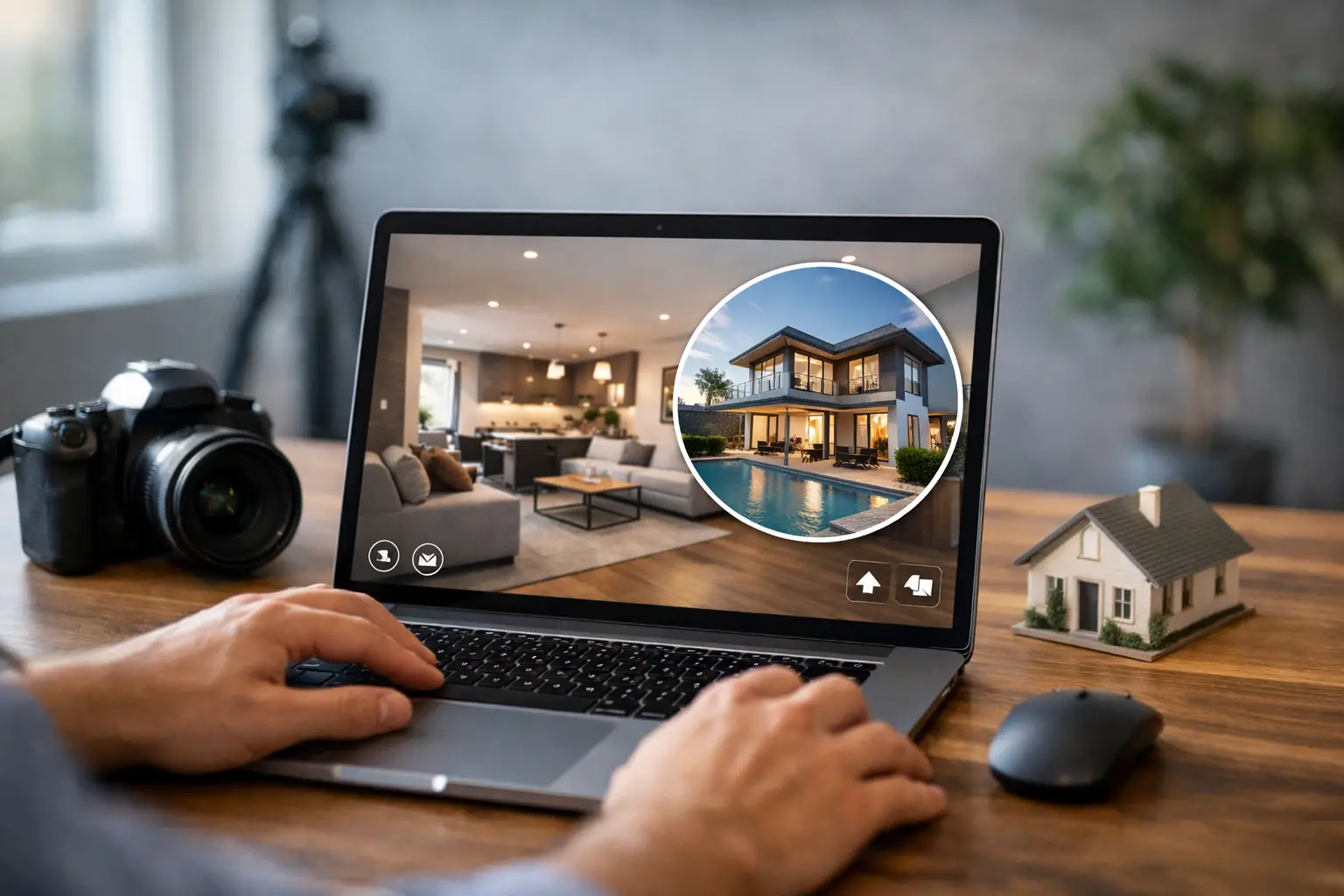
A digital twin is often the best choice when facility leaders need accessible remote viewing, visual orientation, and a simple way to share the warehouse with nontechnical stakeholders. It is highly effective for operations reviews, onboarding, vendor briefings, and internal communication.
A point cloud is better suited to technical teams that need dense, measurable spatial data for design coordination. It can capture complex geometry efficiently, but it requires compatible software and users who understand how to work with the data.
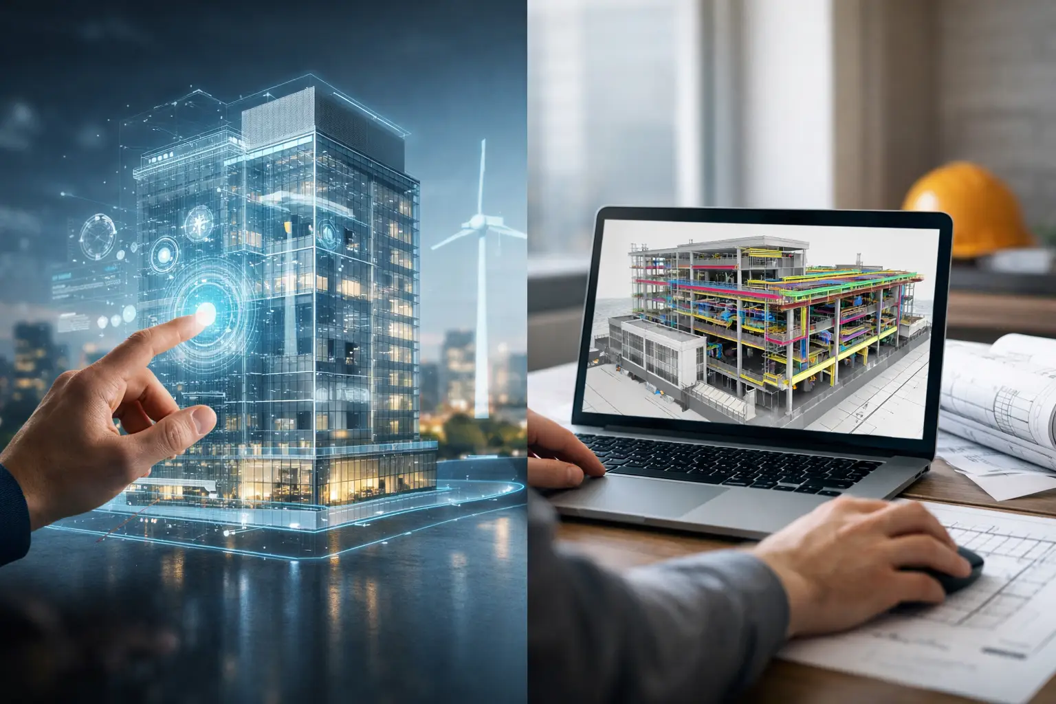
Scan-to-BIM is appropriate when the warehouse is undergoing a significant renovation, expansion, compliance review, or systems installation. Modeling takes more time than producing a visual tour, but the structured output can be more useful for architects, engineers, and facility managers working in BIM workflows.
Many facilities benefit from a layered approach: an accessible digital twin for broad stakeholder use, supported by survey-grade spatial data or a BIM model where technical decisions demand it. This avoids paying for highly detailed modeling in areas where simple visual access is enough, while ensuring critical zones are documented to the appropriate standard.
Practical use cases across warehouse operations
For safety planning, a 3D map can document emergency exits, aisle conditions, access restrictions, and areas where pedestrian and vehicle routes interact. It provides a visual reference for discussions, although it should be maintained alongside formal safety procedures and inspections.
For asset management, teams can use the mapped environment to establish a baseline of fixed infrastructure and major equipment. When paired with asset registers or facility management systems, the spatial model can make information easier to locate and understand. The integration strategy matters here. A model with no ownership, update process, or data governance plan can quickly become another static record.
For training, virtual warehouse access helps new staff, contractors, and remote teams become familiar with the physical environment before entering it. This is useful for orientation and communication, but it should complement, not replace, site-specific safety induction.
For leasing, acquisition, or facility handover, a documented 3D environment creates a clearer record of existing conditions. It gives decision-makers a way to review the property without relying solely on photographs, which rarely communicate scale, adjacencies, or operational constraints.
How to evaluate a warehouse mapping partner
The right provider should ask what decisions the model needs to support before recommending a platform or output. Be cautious of proposals that focus only on capture technology without discussing accuracy, deliverables, access requirements, data ownership, and future use.
Technical capability matters, particularly for live industrial environments. The provider should understand how to plan around operations, work safely near equipment, and capture data that can be used for the agreed purpose. Just as important is the ability to translate raw scans into outputs that managers, vendors, and technical teams can actually use.
Ask how the data will be delivered, who can access it, how long it will remain available, and what happens when the warehouse changes. A one-time scan is valuable for a defined project. For facilities that evolve frequently, a refresh strategy may be more valuable than pursuing unnecessary detail in the first capture.
A well-mapped warehouse gives every future conversation a more accurate starting point. When the next layout change, equipment installation, or facilities review arrives, teams can spend less time reconstructing the site and more time making the right decision.