
A renovation can lose weeks before demolition begins when the drawings say one thing and the building says another. A column has shifted from the old plan, a ceiling void is lower than expected, or mechanical services occupy the space intended for a new partition. This LiDAR scanning example for renovation planning shows how a measured digital record changes the starting point from assumption to evidence.
For architects, contractors, developers, and facility teams, the value is not simply a detailed 3D model. It is the ability to make design, pricing, coordination, and approval decisions from a shared view of existing conditions. That matters most in older commercial buildings, occupied properties, hospitality spaces, and industrial facilities where every unknown can become a variation order.
The renovation challenge behind the scan
Consider a representative renovation of a three-story commercial property. The owner plans to convert the building into a flexible workspace with upgraded lobbies, meeting rooms, restrooms, and new mechanical and electrical systems. Existing 2D floor plans are available, but they are several years old and do not reflect prior tenant fit-outs.
The design team needs reliable floor dimensions, ceiling heights, structural locations, service routes, and façade conditions before finalizing the new layout. Measuring the site manually would require repeated visits, cause disruption to occupants, and still leave gaps in areas that are difficult to access or interpret. A conventional tape-and-photo survey may document individual dimensions, but it does not create a complete spatial reference for every consultant.
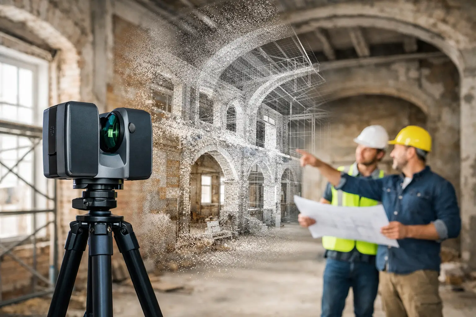
The project team therefore begins with terrestrial LiDAR scanning. The scan captures millions of measured points across the property, creating a point cloud that records walls, floors, ceilings, doors, beams, visible services, and other physical surfaces in three dimensions. When paired with panoramic imagery and clear site notes, that point cloud becomes the base dataset for renovation planning.
LiDAR scanning example renovation workflow
The most useful LiDAR workflow is planned around the decisions the project needs to make, not around scanning for its own sake. Before field capture, the team identifies the spaces to be documented, access restrictions, areas with active operations, required deliverables, and the expected level of measurement confidence.
Field capture records the building as it stands
In this example, scanning starts at common spaces and circulation routes, then moves into offices, service rooms, stairwells, and exterior access points. Scanner positions overlap so the individual scans can be aligned accurately during processing. Larger open areas may need fewer positions, while dense MEP rooms, staircases, and irregular spaces need more coverage to reduce shadows in the data.
The scanning team also records visual references. Panoramic imagery helps users understand what each point-cloud location represents, while standard photographs can document material conditions, equipment labels, defects, and details that may not be clear in the scan. If the renovation includes roof work, façade repair, or site circulation changes, drone mapping can add the aerial context that interior terrestrial scanning cannot provide efficiently.
Capture duration depends on the building’s size, geometry, access conditions, and required detail. An occupied hotel floor, for example, may need to be scanned outside guest-facing hours. A warehouse may be captured quickly in open bays but require additional work around racking, machinery, and secured rooms. The goal is not to produce the greatest volume of data. It is to capture the right data with sufficient coverage for the intended design and coordination tasks.
Processing turns scans into a usable spatial record
After capture, the scans are registered into a coordinated point cloud. Registration aligns overlapping scan positions so the building can be viewed and measured as one dataset rather than as separate rooms. Quality checks look for alignment issues, missing coverage, moving objects, and areas where reflective or transparent surfaces may have affected the result.
This is where project requirements matter. LiDAR can provide highly accurate existing-condition data, but the achievable tolerance depends on the scanner, survey control, site conditions, registration method, and deliverable. Projects involving structural alteration, legal boundaries, or fabrication should define accuracy requirements early and may require survey control from a licensed survey professional. A point cloud is a powerful design record, but it should not be treated as a substitute for every specialist survey.
Once approved, the data can be delivered as a navigable point cloud, a measured floor plan, a 360 virtual walkthrough, or a Scan-to-BIM model. Each output serves a different audience. Designers may need a BIM-ready model, contractors may need point-cloud access for coordination, and ownership teams may benefit most from a virtual environment that supports remote review.
From point cloud to Scan-to-BIM
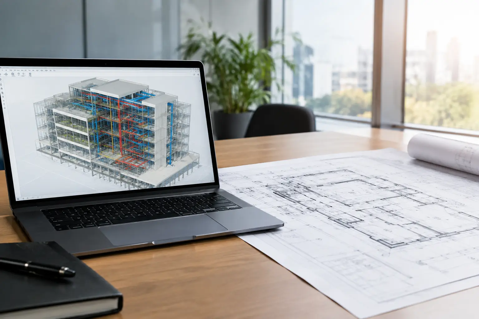
For this commercial renovation, the point cloud is used to create an as-built BIM model. Modelers trace and interpret the scanned geometry into organized building elements such as walls, slabs, doors, windows, ceilings, columns, and visible MEP systems. The resulting model is not merely a visual replica. It is structured information that can support drawings, quantities, clash detection, phasing discussions, and downstream facility records.
The appropriate model detail depends on the project. A landlord planning a basic office refresh may only need accurate architectural shell geometry and key service locations. A complex adaptive reuse project may need detailed structural, architectural, and MEP models to coordinate extensive upgrades. Modeling every visible component to a high level of detail adds time and cost, so the scope should be aligned with the decisions the model must support.
This distinction prevents a common problem: commissioning a detailed model without a clear use case. A better approach is to define the required outputs first. If the immediate need is to confirm rentable areas and test layouts, an architectural as-built model may be sufficient. If the project involves rerouting chilled-water pipes, fire protection, and cable trays above ceilings, coordination-grade MEP modeling and targeted verification become more valuable.
What the renovation team discovers
The value of a LiDAR scan becomes visible when the digital model is compared with the proposed design. In this example, the scan identifies several conditions that would have been costly to discover later on site.
First, the ceiling height in part of the lobby is lower than shown in the legacy drawings because of a previous mechanical upgrade. The new feature ceiling can be adjusted before tender documents are issued. Second, a structural column is offset from the documented grid, affecting the planned glass partition line. Third, visible services above a proposed meeting room show that the original HVAC route will conflict with the new acoustic ceiling design.
None of these findings is dramatic in isolation. Together, they prevent the familiar cycle of redesign, revised quotations, delayed procurement, and site instructions. The team can test alternatives in the model, coordinate the preferred option with consultants, and present the impact to the owner before work begins.
For stakeholders who are not comfortable reviewing CAD files, a digital twin or browser-based walkthrough makes those discussions more direct. A leasing manager can understand how the new space relates to the existing shell. An overseas investor can review conditions without scheduling a site visit. A facilities manager can point out operational constraints before they are missed by the design team. The same capture effort can support technical coordination and clearer communication across the project.
Where LiDAR has limits in renovation work
LiDAR records surfaces it can see. It does not reveal concealed rebar, buried utilities, piping behind walls, or construction conditions above an inaccessible ceiling. Those elements may require opening-up works, ground-penetrating radar, thermal inspection, MEP investigation, or specialist surveys.
Reflective glass, mirrors, water, and highly polished metal can also create incomplete or misleading readings. Busy spaces introduce moving people, vehicles, and equipment that must be filtered or rescanned. Good capture planning accounts for these conditions rather than assuming technology will remove every uncertainty.
There is also a practical question of timing. Scanning too early can capture temporary obstructions; scanning too late can delay design decisions. For many projects, the most effective moment is immediately after access is secured and before major design commitments, demolition, or contractor pricing. A targeted rescan can then document conditions exposed during strip-out, when hidden structural and service information becomes visible.
Turning existing conditions into a project advantage
A renovation begins with the building that exists, not the building shown in an outdated drawing set. LiDAR gives project teams a dependable way to document that reality, share it across disciplines, and make earlier decisions with less site uncertainty.
Novo Reperio applies LiDAR capture, digital twin visualization, and Scan-to-BIM workflows according to the project’s commercial and operational requirements. For a retail rollout, that may mean repeatable site documentation across locations. For a hospitality renovation, it may mean coordinating upgrades while protecting guest experience. For an industrial facility, it may mean reducing time spent measuring active production areas.
Before approving the next renovation layout, ask a simple question: are the decisions being made from verified conditions or from inherited assumptions? The answer often determines whether the project moves forward with confidence or spends its budget resolving surprises.