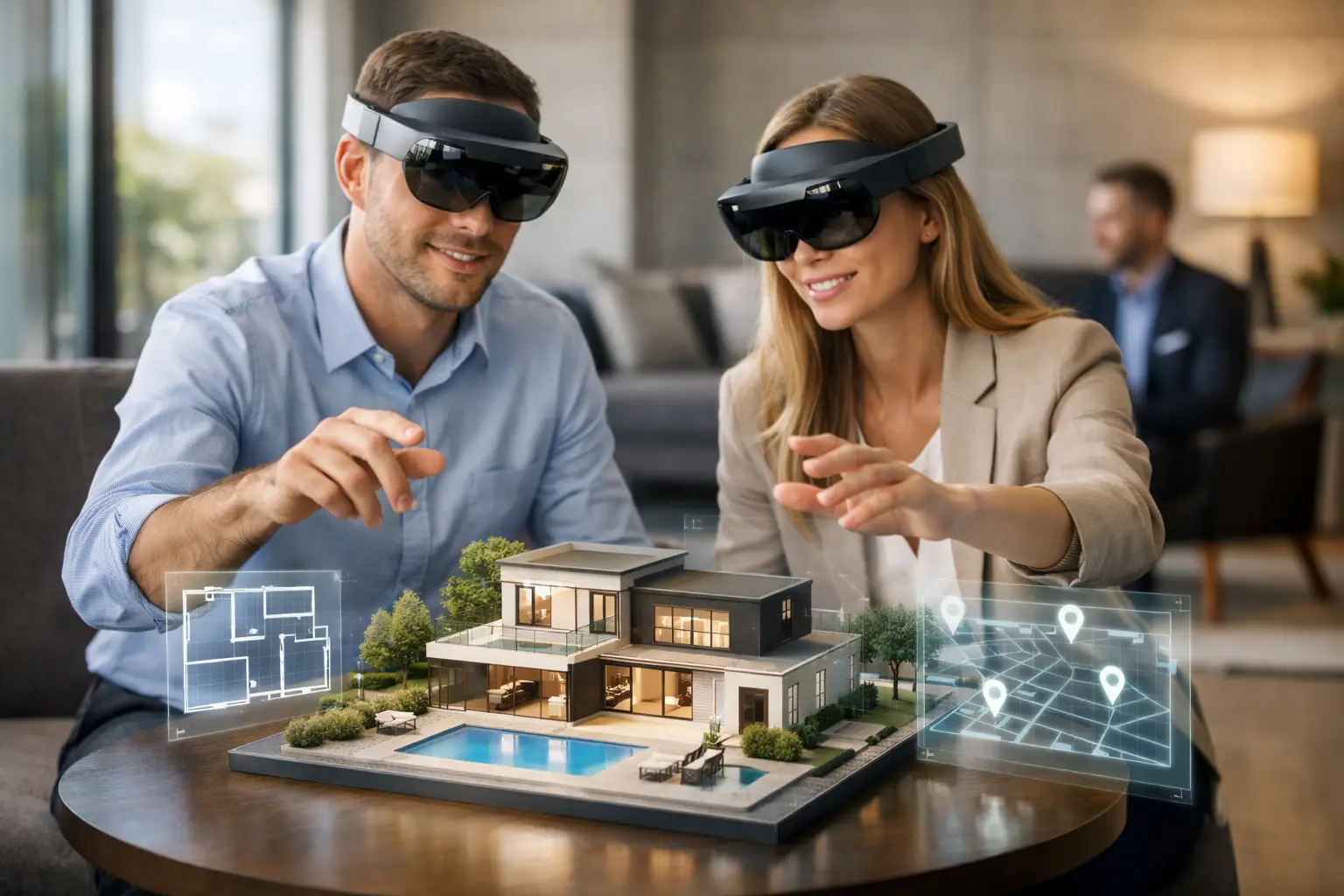

A buyer can scroll through twenty property listings in minutes and still have no practical sense of ceiling height, circulation, frontage, or the relationship between a lobby and its surrounding amenities. Spatial computing for real estate changes that limitation by turning a physical property into an interactive digital environment that can be explored, measured, understood, and shared before a site visit takes place.
For developers, brokers, asset managers, and commercial leasing teams, this is not simply a more impressive form of media. It is a way to reduce uncertainty in the buyer journey, give remote stakeholders better evidence for decisions, and create a reusable digital asset for marketing and operations.
What Spatial Computing Means in Property
Spatial computing is the use of digital technology to understand, represent, and interact with real-world space. In real estate, it typically combines 3D capture, LiDAR scanning, 360-degree imagery, digital twins, spatial measurements, aerial context, and, where appropriate, BIM data.
The result is not just a gallery of photographs. A digital twin can allow a prospect to move through a property at their own pace, inspect room relationships, view an overall floor plan, and revisit specific areas with colleagues. For a commercial space, it can help a tenant assess customer flow, loading access, meeting-room provision, and fit-out potential without arranging an immediate physical viewing.
The distinction matters. Photography is designed to present a space. Spatial data is designed to represent it. The strongest real estate programs use both: high-quality imagery creates desire, while an accurate spatial environment gives decision-makers the confidence to proceed.
Why Spatial Computing for Real Estate Is Becoming Commercially Relevant
Static listings create friction when a property is large, unfinished, geographically distant, or difficult to explain. This applies to luxury residences, office floors, industrial facilities, hotels, showrooms, and mixed-use developments. Each may require multiple stakeholder approvals before a site visit is even possible.
An immersive property experience gives sales teams a practical asset for those early conversations. Instead of trying to explain the scale of a ballroom or the adjacency of a retail unit to an entrance, they can show it. Prospects can also return to the space after a call, share it internally, and qualify their interest more effectively.
That can improve the quality of inquiries rather than merely increasing inquiry volume. A prospect who has explored the layout, viewed relevant details, and understood the property context is more likely to arrive at a viewing with specific questions and clearer intent.
For regional markets such as Malaysia and Singapore, this is especially valuable when investors, corporate occupiers, or buyers are making decisions across cities or borders. Remote accessibility does not replace a physical inspection for every transaction. It makes the inspection stage more purposeful and reduces the number of low-intent visits that consume sales resources.
The Digital Twin as a Sales and Leasing Asset
A digital twin is often described as a virtual tour, but that description understates its business value. A well-produced twin is a navigable digital representation of a real environment. It can combine 360-degree views, a dollhouse-style model, floor plan navigation, annotations, embedded media, and measurement capabilities.
For residential sales, this gives buyers a more reliable understanding of how a home feels and functions. They can assess bedroom proportions, storage, finishes, views, and the transition between indoor and outdoor areas. Virtual staging or CGI can also help them see the potential of vacant, under-construction, or partially fitted spaces.
For commercial leasing, the asset can support a more complex decision process. Leasing teams can highlight available units, access points, shared facilities, key dimensions, and nearby amenities. A prospective tenant can circulate the experience among operational, finance, and leadership teams instead of relying on a short site-visit video or a broker’s written interpretation.
This is where digital twins become particularly useful for properties with repeatable sales cycles. A premium capture can support launch activity, sales presentations, listing pages, direct outreach, tenant discussions, and post-handover reference. Its return is tied to how actively it is used across the property lifecycle, not only to the initial production cost.
Accurate Capture Determines the Value of the Experience
Not every 3D experience serves the same purpose. The right method depends on whether the priority is visual marketing, dimensional accuracy, documentation, operations, or a combination of these goals.
A 360-degree virtual tour may be sufficient for a hospitality suite, a show unit, or a small retail location where visual engagement is the main requirement. Matterport-style digital twins add intuitive navigation and spatial context, making them effective for residential and commercial marketing.
LiDAR scanning becomes more relevant when accuracy matters. It captures dense spatial data that can be used for measured surveys, 3D mapping, floor plans, point clouds, and Scan-to-BIM workflows. For renovation planning, adaptive reuse, large commercial assets, and industrial properties, this level of documentation can prevent costly assumptions about existing conditions.
Drone photography and aerial mapping add another layer of context. They help prospects understand a development’s access, surroundings, visibility, land scale, and connection to transport or nearby destinations. For land sales, resorts, industrial sites, and large-scale developments, aerial context can be as influential as the building itself.
The practical question is not, “Which technology looks most advanced?” It is, “What information must a buyer, tenant, project team, or asset manager understand to make the next decision?” Capture strategy should follow that answer.
Where the Return Shows Up
The return on spatial computing is rarely limited to one metric. It appears across the property journey, from early attention through operational handover.
In marketing, immersive experiences can increase time spent engaging with a listing and give campaigns a stronger reason for prospects to respond. In sales, they support remote qualification and make follow-up conversations more specific. In leasing, they help tenant representatives and corporate decision-makers compare options without repeatedly coordinating site access.
For development and asset teams, spatial capture can also preserve a trusted visual record of a property at a particular point in time. When paired with LiDAR data or Scan-to-BIM documentation, that record supports renovation scoping, handover communication, maintenance planning, and future fit-out discussions.
The business case should therefore be measured against the intended use. A developer may track qualified leads, viewing-to-reservation conversion, and campaign engagement. A commercial landlord may focus on inquiry quality, time to lease, and the number of stakeholders reached per property. A facility operator may value reduced site revisits, faster issue identification, and more reliable documentation.
The Trade-Offs to Plan For
Spatial technology produces better outcomes when it is treated as part of a property strategy, not as an isolated content request. A visually appealing tour with poor navigation, incomplete coverage, or outdated information can weaken trust rather than build it.
Accuracy also has a cost and a purpose. A marketing-focused digital twin does not automatically replace a certified survey or an as-built BIM model. If measurements will inform design, construction, or contractual decisions, the capture scope, tolerances, deliverables, and validation process must be defined from the start.
There is also a content-governance question. Commercial properties may contain sensitive layouts, security systems, confidential information, or tenant assets that should not be publicly visible. Teams should decide which version is public-facing, which is reserved for qualified prospects, and which is retained for internal operations.
Finally, the asset needs a distribution plan. A digital twin buried on a website will not deliver the same value as one incorporated into listing pages, sales presentations, QR-enabled brochures, email campaigns, and stakeholder discussions. The experience should shorten the path to a meaningful next step, whether that is a viewing, a leasing discussion, a design review, or a request for technical documentation.
Building a Spatial Property Strategy
A useful starting point is to identify the properties where conventional marketing or documentation creates the most friction. These are often large spaces, premium assets, remote locations, unfinished developments, complex floor plates, or sites with frequent stakeholder visits.
Then define the primary decision the digital asset must support. A launch campaign may require an immersive digital twin, commercial photography, aerial imaging, and virtual staging. A renovation project may require LiDAR scanning, point cloud data, and Scan-to-BIM deliverables. A major hotel or venue may benefit from a public virtual tour alongside an internal operational model.
Novo Reperio approaches this as an end-to-end spatial visualization program: capture the real environment accurately, shape the experience around the audience, and connect the final asset to commercial or operational use. The technology matters, but the outcome matters more.
The next valuable property experience will not ask prospects to imagine the space from a few carefully selected images. It will give them enough spatial clarity to make a better decision before they ever step through the door.