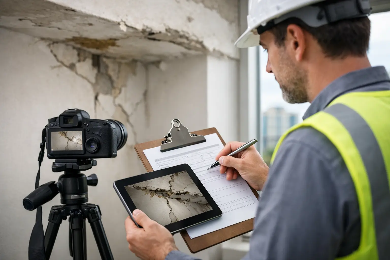
Learn how to document building conditions reliably with photos, LiDAR, and clear reports that support faster decisions, renovation planning, and claims.
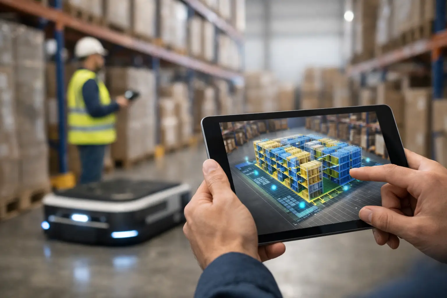
Warehouse 3D mapping services turn facilities into accurate digital models for safer layouts, faster maintenance, remote planning, and daily asset control.
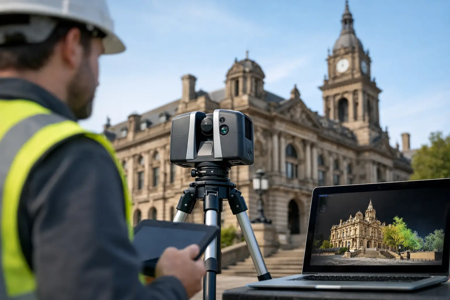
Learn how to scan heritage buildings with LiDAR, 360 capture, and Scan-to-BIM workflows that protect detail and support smarter restoration planning today.
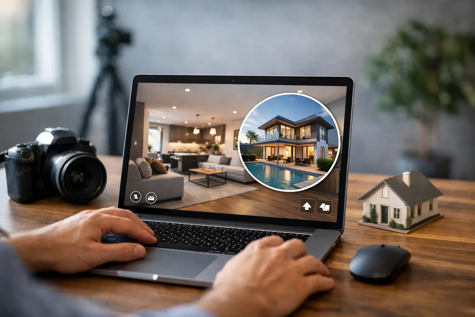
This guide to virtual property marketing shows how digital twins, 3D visuals, and aerial imaging create qualified demand and faster property decisions now.
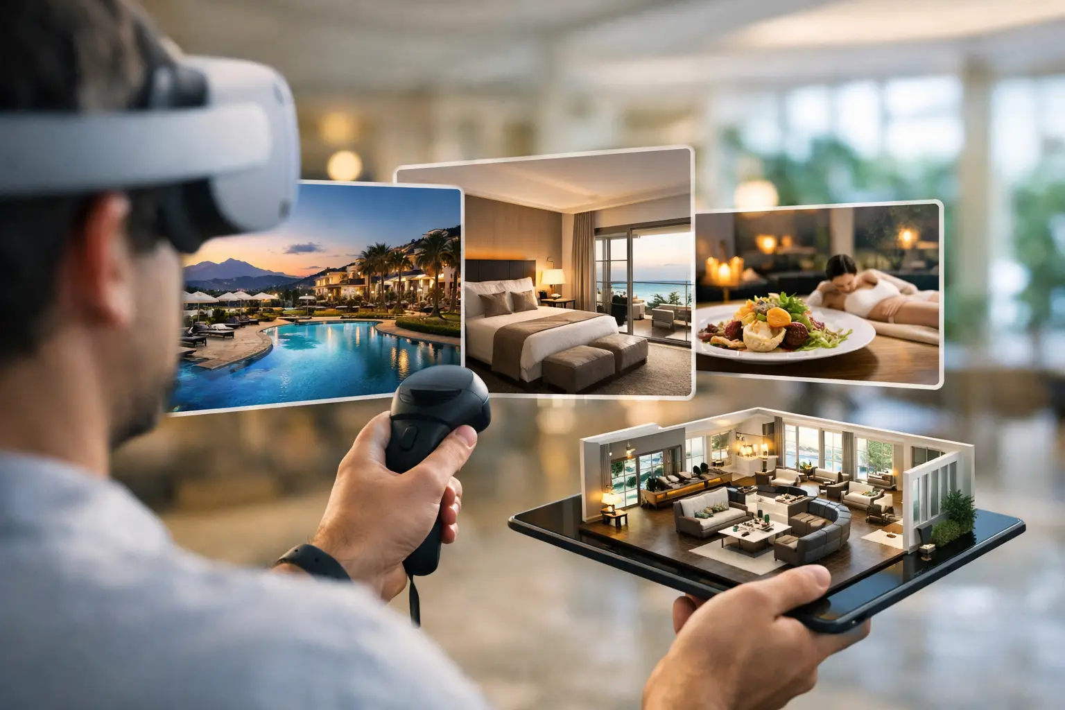
Explore the best hotel virtual tour ideas to showcase rooms, amenities, and event spaces, raise guest confidence, and support more direct bookings online.
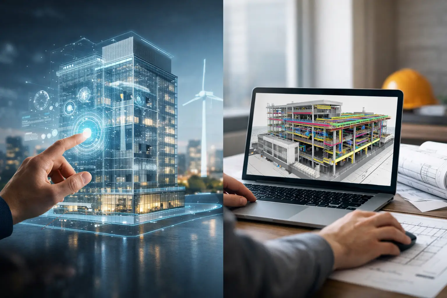
Digital twin vs BIM: understand the differences, business uses, and how spatial data can support smarter property, construction, and facility decisions.
Are virtual tours worth it? Learn how digital twins improve engagement, qualify leads, and support faster remote decisions for commercial spaces globally.
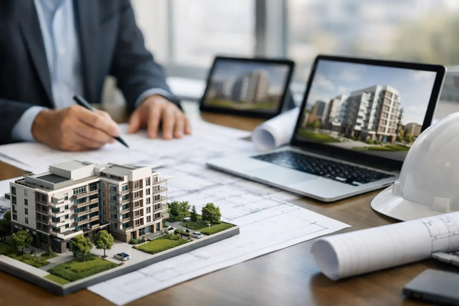
Our guide to pre construction visualization helps developers align design teams, win stakeholder approval, and market projects before construction begins.
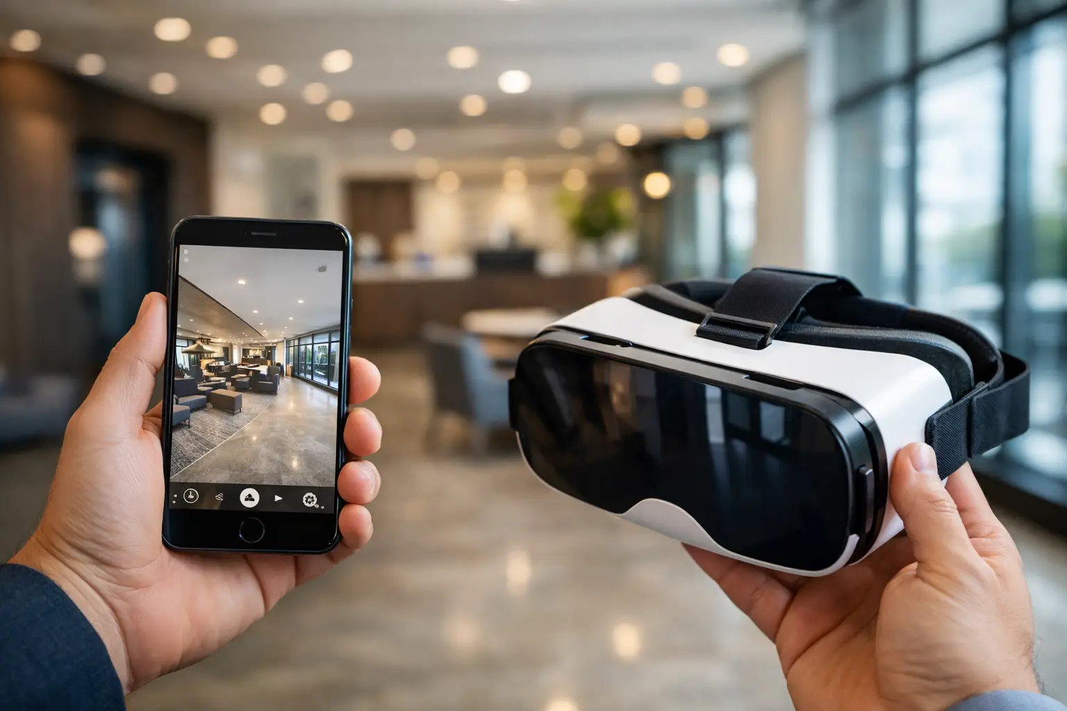
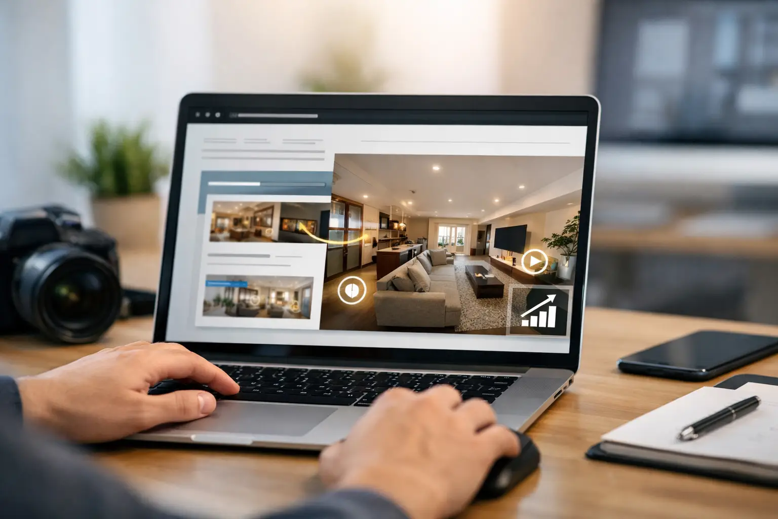
Website integration for virtual tours turns immersive spaces into qualified leads, stronger engagement, and faster remote decisions across every device.
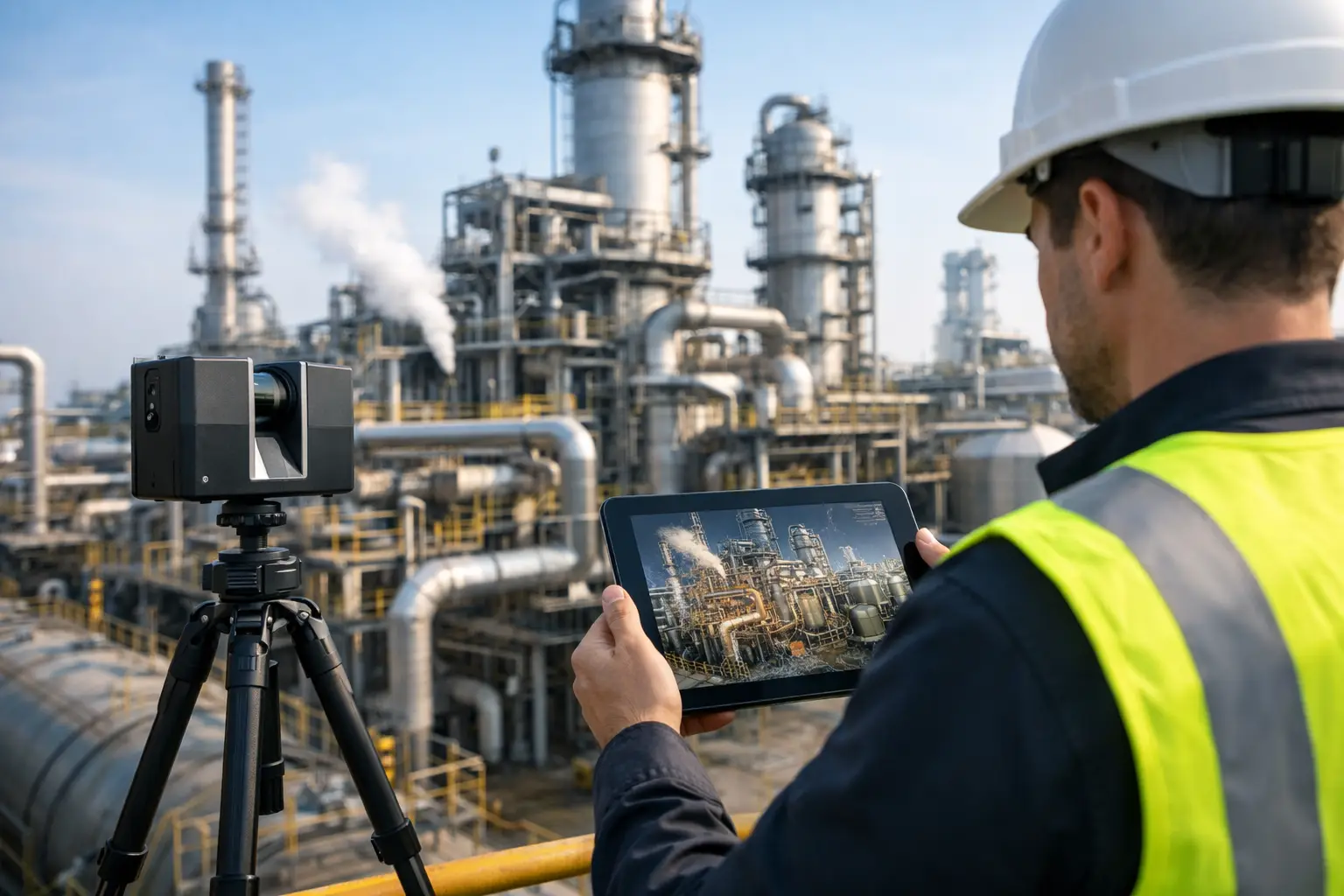
Industrial facility digital capture turns complex sites into usable spatial data for safer maintenance, faster planning, and better remote site-level decisions.