

Top Benefits of Spatial Scanning for Business
See the top benefits of spatial scanning for marketing, asset operations, and project planning, with practical guidance on where accuracy matters most.
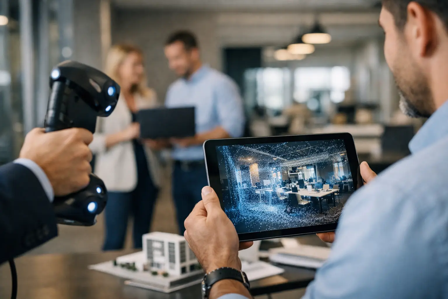
See the top benefits of spatial scanning for marketing, asset operations, and project planning, with practical guidance on where accuracy matters most.
Top Benefits of Spatial Scanning for Business
A property team preparing a commercial tower for leasing, a hotel operator planning a refurbishment, and an engineer assessing an aging plant may have different objectives. They share one problem: decisions are being made around physical spaces that are difficult, costly, or time-consuming to revisit. The top benefits of spatial scanning come from replacing incomplete visual references and outdated drawings with a dependable digital record of the real environment.
Spatial scanning captures a space in measurable 3D detail using technologies such as LiDAR, 360-degree imaging, photogrammetry, and digital twin platforms. The result can support a virtual tour, a point cloud, a floor plan, a Scan-to-BIM model, or a connected combination of these assets. For commercial teams, the value is not the scan itself. It is the ability to market, document, coordinate, and manage a place with greater confidence.
Top Benefits of Spatial Scanning for Commercial Teams
1. It makes complex spaces easier to understand remotely
Static photos are useful for showing finishes, views, and individual features, but they rarely explain how a large or complex space connects. A buyer cannot easily judge the relationship between a hotel lobby and its function rooms, a warehouse office and loading bay, or a retail unit and surrounding footfall areas from an image gallery alone.
A spatially accurate virtual environment lets prospects move through the property at their own pace. They can assess circulation, scale, layout, sightlines, and adjacency before arranging a physical visit. This is particularly valuable for regional and international decision-makers considering assets in Malaysia, Singapore, Thailand, or Indonesia, where travel can delay early-stage discussions.
Remote access does not remove the need for site visits on high-value transactions. It improves the quality of those visits. Prospects who have already explored the space tend to arrive with more specific questions and a clearer understanding of fit.
2. It improves property marketing beyond static visual content
For real estate, hospitality, retail, and venue marketing, spatial scanning turns a physical location into an interactive sales asset. A digital twin can be used alongside photography, video, drone imagery, floor plans, and campaign landing pages to give audiences a fuller picture before they submit an inquiry.
That matters because a space is often the product. In commercial leasing, coworking, event venues, showrooms, and luxury residential property, buyers are not only comparing price or location. They are evaluating atmosphere, accessibility, layout, finish quality, and whether the environment supports their intended use.
Interactive viewing can also help marketing teams qualify leads. A visitor who has spent time navigating a unit, examining amenities, or reviewing tagged features has received a more meaningful pre-sales experience than someone who briefly viewed a single hero image. The sales team can then focus follow-up on the practical questions that move a decision forward.
The strongest results usually come when the virtual experience is planned as part of the sales journey, not treated as a standalone novelty. Clear entry points, current availability information, supporting visuals, and a direct inquiry path all affect commercial performance.
3. It creates an accurate as-built reference before work begins
In architecture, engineering, construction, and renovation projects, unreliable existing-condition information is a recurring source of risk. Legacy drawings may not reflect later alterations. Manual measurements can omit ceiling services, structural details, or hard-to-reach areas. A small dimensional assumption can become expensive once design, procurement, and site work are underway.
LiDAR scanning provides a dense point cloud that records the geometry of the physical environment. This can be developed into 2D drawings or a BIM-ready model through a Scan-to-BIM workflow. Designers and project teams gain a more reliable basis for test fits, coordination, renovation planning, and quantity review.
The benefit is not that every project needs the highest possible level of detail. It depends on the decisions the documentation must support. A basic virtual tour may be enough for leasing or stakeholder orientation. A heritage conservation project, plant retrofit, or complex interior renovation may require survey-grade control, detailed point-cloud capture, and carefully defined model deliverables.
Establishing these requirements before scanning is essential. Teams should agree on the intended use, required accuracy, coordinate system, areas of interest, and level of development for any BIM output. A scan is most useful when it is designed around the next decision, rather than collected as generic data.
4. It reduces repeat visits and disruption at active sites
Sending multiple stakeholders to inspect a site is costly, especially when the environment is operational, remote, regulated, or difficult to access. Facilities managers, consultants, contractors, insurers, and leadership teams may each need a view of the same area. Repeated visits can disrupt staff, interrupt guests, or create safety and access challenges.
A spatial scan gives authorized teams a common visual reference. They can revisit equipment rooms, ceiling zones, corridors, shop floors, or property condition details without repeatedly entering the site. This is useful for factories, warehouses, hotels, healthcare-adjacent facilities, and multi-site portfolios where operational continuity matters.
There are limits. Digital inspection should not replace an on-site assessment when safety verification, material testing, hidden conditions, or live operational observations are required. It does, however, reduce unnecessary visits and helps technical teams decide when a physical inspection is genuinely needed.
5. It strengthens facility management and asset planning
After handover, many building records become fragmented. A floor plan may sit in one folder, maintenance documentation in another, and the knowledge of what changed during fit-out with a former contractor or site manager. Spatial data provides a foundation for organizing information around the place where it is actually used.
Within a digital environment, teams can identify rooms, service zones, key assets, safety information, and maintenance notes. For a facility manager, this can improve orientation for new staff, support maintenance planning, and make discussions with external vendors more precise. For a portfolio owner, it can create a consistent way to review sites without waiting for ad hoc photographs or verbal updates.
The operational return depends on governance. A highly detailed model loses value if room names, asset tags, and condition information are never updated. Organizations should decide who owns the data, how updates will be handled after renovations, and which systems need to exchange information with the spatial model.
6. It documents condition for insurance, restoration, and disputes
When a property has been damaged or a condition dispute arises, timing matters. Photos taken from selected angles can be persuasive, but they may not show the full context of a room or establish relationships between affected areas. A comprehensive scan preserves a navigable record of the site at a given point in time.
For insurers, restoration firms, property owners, and risk managers, this can support more informed assessment of extent, access, and affected building elements. It can also help teams communicate the situation to specialists who cannot immediately attend in person.
Spatial documentation is not a replacement for formal forensic reports, licensed surveys, or policy-specific claims requirements. Its role is to provide a richer record that supports those processes, reduces ambiguity, and helps all parties work from the same visual evidence.
7. It improves coordination across sales, design, and operations
One of the less obvious benefits of spatial scanning is organizational alignment. Marketing wants a compelling presentation. Design needs dimensions and existing conditions. Operations needs a practical record for maintenance and training. When each group commissions separate visual materials, data is duplicated and the customer experience becomes inconsistent.
A well-planned capture program can produce multiple outputs from one site visit: immersive walkthroughs for customer engagement, high-resolution imagery for campaigns, measured spatial data for technical coordination, and documentation for internal teams. This does not mean every capture must serve every department. It means the scope should be considered across the asset lifecycle before work begins.
For example, a new hospitality property may prioritize a digital twin and visual content for pre-opening sales. A detailed LiDAR capture may be scheduled later for fit-out verification and facilities documentation. The right sequence protects budget while preserving the opportunity to build a more useful long-term spatial record.
Choosing the Right Spatial Scanning Outcome
The technology should follow the business case. If the objective is increasing inquiries for a premium showroom, interactive navigation, polished imagery, and clear calls to action may matter most. If the objective is a renovation, capture accuracy, point-cloud registration, and BIM specifications take priority. If the objective is multi-site operations, naming standards, asset data, permissions, and ongoing update processes become central.
Novo Reperio approaches spatial capture as an implementation decision, not simply a content deliverable. The useful question is not, “Do we need a scan?” It is, “Which decisions will this spatial asset improve, and what level of data is required to improve them?”
Start with the people who need to act on the information – prospective buyers, leasing teams, designers, facility managers, or insurers. Define what they cannot confidently see or verify today. That gap will point to the right capture method, the right deliverables, and a spatial asset that continues to earn its place long after the camera and scanner have left the site.