
A project can look coordinated in a drawing set and still fail at the point where a new service route meets an undocumented beam. That gap between design intent and site reality is where delays, variation orders, and avoidable rework begin. Construction technology has value when it closes that gap with accurate, usable information – not when it simply adds another platform for teams to manage.
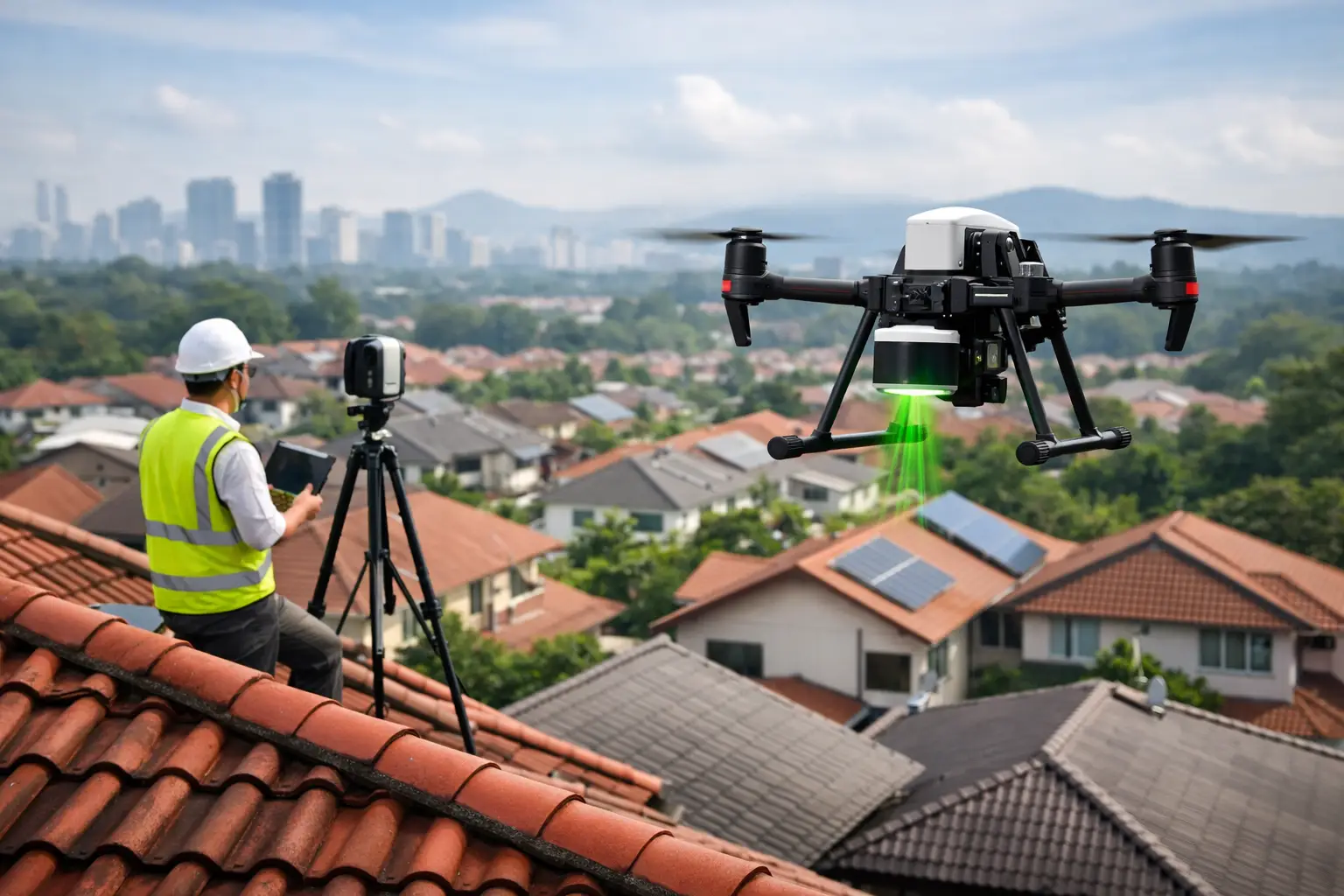
For developers, contractors, consultants, and facility owners, the priority is increasingly clear: capture the physical environment accurately, make it accessible to the right people, and use it to support decisions before work becomes expensive to change. LiDAR scanning, digital twins, drone mapping, Scan-to-BIM workflows, and progress documentation are becoming practical project controls rather than specialist extras.
Construction Technology Starts With a Reliable Site Record
Every construction project operates across multiple versions of reality. There is the approved design model, the construction schedule, the latest coordination issue, and the physical condition of the site. When those versions drift apart, teams spend time validating information instead of moving work forward.
A high-accuracy spatial capture creates a defensible record of existing conditions or completed work. LiDAR scanning collects millions of spatial measurement points to form a point cloud, while 360-degree imagery adds visual context that drawings alone cannot provide. Together, they give project stakeholders a way to inspect dimensions, locations, finishes, clearances, and site conditions without relying solely on site visits or fragmented photo folders.
This matters particularly in renovation, fit-out, adaptive reuse, and brownfield projects. Existing structures rarely match legacy drawings perfectly. A missing riser, an altered ceiling void, or a shifted structural element may be minor on paper but significant once mechanical, electrical, and plumbing trades are mobilized. Capturing conditions before design finalization helps teams base decisions on what is actually present.
The commercial benefit is not simply faster measurement. It is a more dependable basis for scope definition, consultant coordination, tender pricing, and stakeholder approval. The earlier uncertainty is identified, the less likely it is to reappear later as a costly site instruction.
Where Digital Twins Create Operational Value
A digital twin is often described as a virtual representation of a physical space. In construction, that definition is only useful when the virtual environment helps someone complete a real task. A well-planned digital twin can provide remote access to site conditions, support progress reviews, document concealed work, and improve communication among owners, consultants, contractors, and future operations teams.
For an owner based in Singapore while a project is progressing in Kuala Lumpur, remote visual access can reduce the number of visits required for routine reviews. For a design consultant, an interactive walkthrough can provide immediate context when reviewing a field query. For a facilities team, the same captured environment can become a reference point for handover planning and asset-location discussions.
The strongest use cases connect visualization to a specific decision. Consider a hotel renovation with phased room upgrades. A digital twin can document pre-construction conditions, show completed sample rooms to remote stakeholders, and create a consistent visual record of each phase. That is more useful than a gallery of disconnected images because users can understand location, sequence, and spatial relationships.
Digital twins do have limits. They do not replace site supervision, certified surveys, or formal quality inspections. They also require a clear capture plan. If a project needs to verify tight mechanical clearances, broad visual coverage alone may not be enough. If the goal is executive reporting, a highly detailed engineering model may be unnecessary. The right level of capture depends on the decisions the project team needs to make.
Scan-to-BIM Turns Capture Into Coordination Data
When a project requires more than visual reference, Scan-to-BIM converts measured reality into structured model information. A point cloud becomes the source material for an as-built BIM model that architects, engineers, contractors, and facility managers can use for design coordination, quantity verification, renovation planning, and record documentation.
The process is especially valuable when the existing building is complex. Hospitals, factories, commercial towers, warehouses, heritage properties, and retail centers often contain dense services and modifications accumulated over years. A conventional site measurement exercise can miss critical details or create inconsistencies between disciplines. A Scan-to-BIM workflow gives each team a common geometric reference.
Accuracy requirements should be established at the beginning. There is no universal model detail that suits every project. A landlord planning a leasing visualization may need a lighter model focused on primary architectural features. A contractor coordinating new services above a live production floor may require greater precision and clearer representation of structural and MEP elements. Specifying the intended use prevents over-modeling, controls cost, and protects delivery timelines.
The Construction Technology Stack Should Reduce Friction
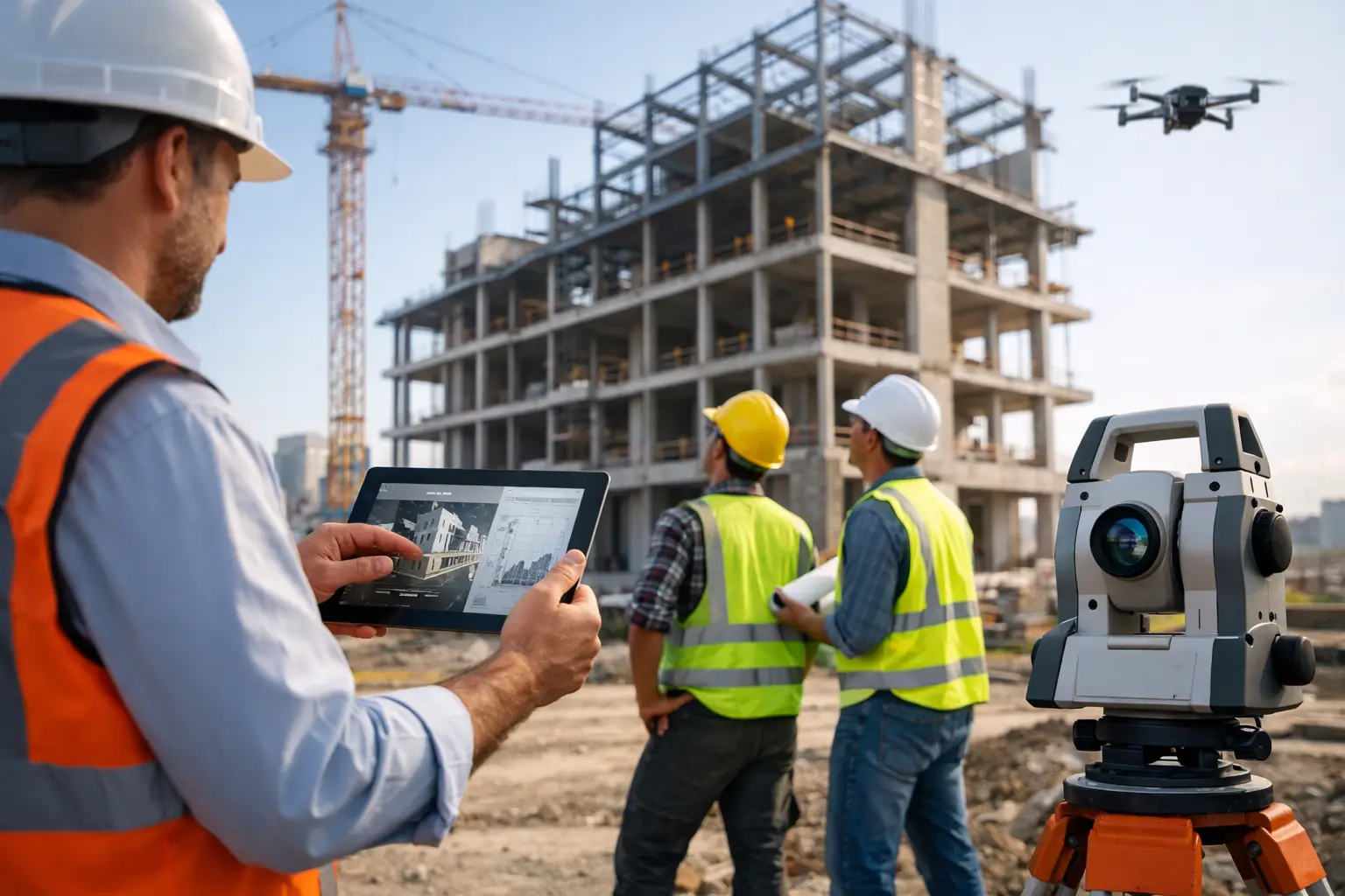
Construction teams do not need every available technology. They need an integrated information flow that reduces friction between field conditions, design coordination, reporting, and decision-making. Adding isolated tools can create a new problem: data that exists but cannot be found, trusted, or applied.
A practical workflow often begins with baseline capture before construction or before a renovation design is finalized. The project then uses periodic scanning, 360 documentation, or drone imaging at agreed milestones. Progress data is reviewed against planned work, issues are assigned through the project’s existing coordination process, and key records are retained for handover.
This approach gives technology a defined role at each stage:
- Pre-construction capture verifies existing conditions and informs design.
- Coordination models help identify physical conflicts before installation.
- Progress documentation gives stakeholders a consistent view of work completed.
- Completion capture supports as-built records, closeout, and future maintenance.
The value increases when the outputs are easy for nontechnical stakeholders to use. A project director should not need point-cloud software expertise to review an area of concern. An asset manager should be able to locate a plant room, inspect the surrounding context, and access relevant documentation without requesting a new site visit. Accessibility is what turns captured data into a shared business asset.
Measuring ROI Beyond the Technology Purchase
The return on construction technology is rarely best measured by asking whether a scan was cheaper than a manual survey or whether a virtual walkthrough received a high number of views. Those metrics are useful, but incomplete. The more meaningful question is whether the information changed a decision early enough to improve the project outcome.
Possible indicators include reduced rework, fewer repeat site visits, faster approval cycles, clearer scope for subcontractors, lower travel requirements for remote stakeholders, and improved handover readiness. On complex projects, avoiding a single coordination error can justify the investment in accurate spatial capture.
There is also a risk-management dimension. Detailed, time-stamped visual and spatial records can help clarify condition disputes, support insurance documentation, and establish what was visible at a particular project stage. This does not eliminate contractual disagreements, but it gives teams stronger evidence than memory, email threads, or unstructured photographs.
For property developers, the same assets can extend beyond construction. A completed digital twin, aerial image set, or CGI walkthrough can support sales, leasing, investor communication, and operational onboarding. That continuity improves the return because the project is not creating separate visual materials for every stage of the asset lifecycle.
Selecting the Right Partner and Workflow
Technology procurement should begin with the project problem, not the camera, scanner, or software brand. Start by identifying what is difficult to verify today. Is it incomplete as-built information? Slow remote approvals? Complex service coordination? Poor visibility into progress across multiple locations? The answer will determine the appropriate capture method and output.
Next, define who needs access and how they will use the deliverables. Engineers may need registered point clouds and BIM-ready files. Project managers may need milestone walkthroughs. Marketing teams may need polished visual assets after completion. Facility teams may need an accurate operational reference. A single spatial capture program can serve several audiences, but only if requirements are planned together.
Finally, establish data standards early. Agree on coordinate systems, accuracy tolerances, model level of development, file formats, naming conventions, update frequency, and ownership of final deliverables. These details can appear administrative, yet they determine whether data remains useful after the construction team demobilizes.
Novo Reperio approaches spatial capture as a decision-support system, combining LiDAR mapping, digital twins, Scan-to-BIM, aerial imaging, and visualization around the requirements of the asset and its stakeholders. The objective is not to create more content. It is to give teams a clearer view of the space, the work, and the next decision.
The most effective next step is often modest: identify one high-risk area, one recurring approval delay, or one building with unreliable documentation, then capture it accurately. When teams can see and measure reality together, better decisions have somewhere solid to begin.