
A renovation can lose weeks before construction begins when teams are working from outdated drawings, incomplete site surveys, or assumptions hidden above ceilings and behind walls. BIM retrofit scanning replaces that uncertainty with a measurable record of the building as it exists. By capturing real-world geometry and converting it into an intelligent BIM model, project teams can make earlier decisions with a far stronger basis in fact.
For owners, developers, architects, engineers, and facility managers, the value is not simply a 3D model. It is a reliable digital foundation for planning upgrades, coordinating disciplines, controlling scope, and keeping stakeholders aligned when changes are expensive.
What BIM Retrofit Scanning Delivers
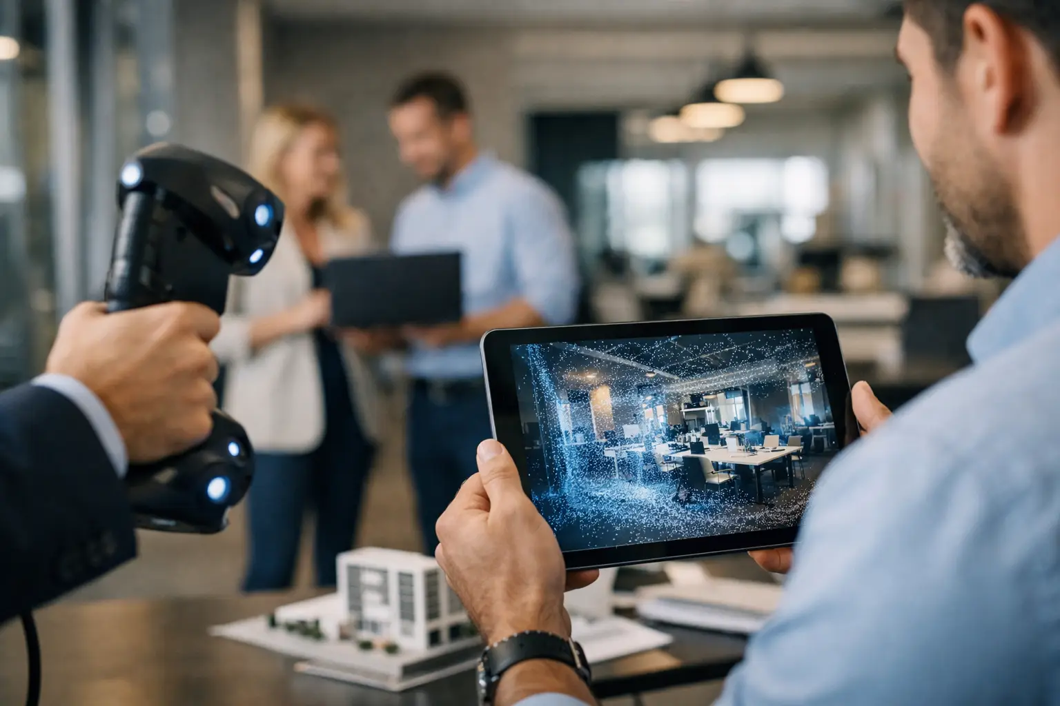
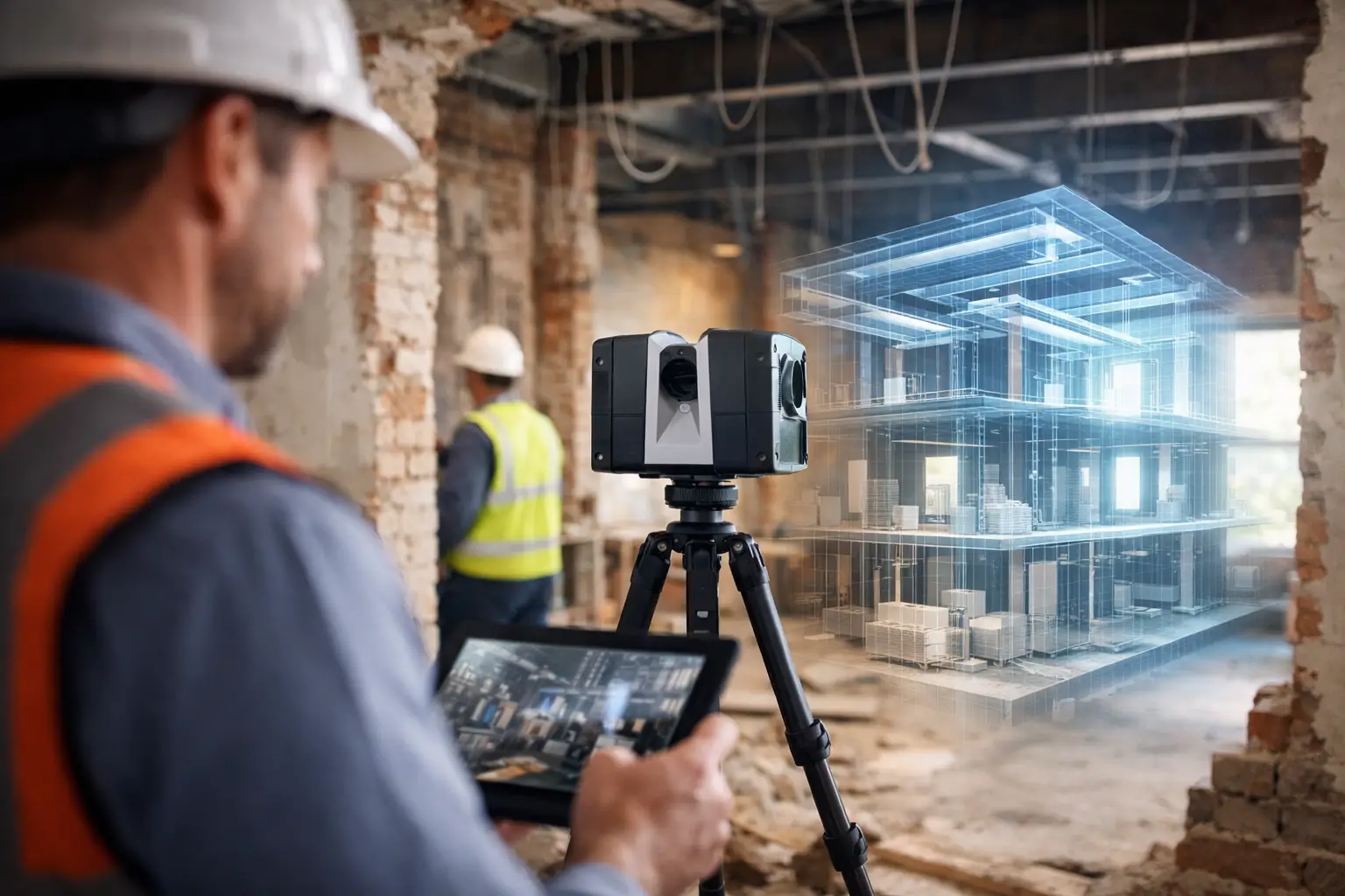
BIM retrofit scanning combines high-accuracy LiDAR capture with Scan-to-BIM modeling. A survey team scans the interior and, where required, the exterior of an existing building. The resulting point cloud contains millions of measured spatial points that represent walls, floors, slabs, ceilings, columns, doors, windows, visible services, and other site conditions.
That point cloud is then interpreted and modeled into a Building Information Model. Unlike a static drawing set, a properly structured BIM model can contain usable information about building elements, dimensions, locations, systems, and quantities. It gives design and construction teams a shared reference that is far closer to reality than a legacy PDF or a manual tape-measure survey.
The deliverable should match the decision the client needs to make. A landlord planning a commercial office refresh may need accurate floor plans, ceiling heights, and core building geometry. A hospital, factory, or heritage property may require a more detailed model of visible MEP systems, structural elements, equipment clearances, or façade conditions. More detail increases modeling time and cost, so the right level of development is determined before capture begins, not after.
Why Existing Conditions Create Retrofit Risk
New construction starts with a coordinated design intent. Retrofit work starts with a physical asset that may have been altered repeatedly over decades. Tenant fit-outs, undocumented service diversions, structural modifications, and inconsistent maintenance records can all make original drawings unreliable.
This is where the financial impact becomes real. If a proposed partition conflicts with an existing beam, a new duct route cannot achieve required clearance, or equipment access has been misjudged, the project absorbs redesign, site disruption, procurement delays, and potentially variation claims. A single missed constraint can affect several trades at once.
BIM retrofit scanning helps move those discoveries forward. Instead of finding critical conflicts during demolition or installation, the project team can review existing geometry during design coordination. That does not eliminate every unknown – concealed conditions still require investigation – but it significantly reduces the decisions being made on incomplete spatial information.
Better coordination before work reaches the site
When architects, structural engineers, MEP consultants, contractors, and specialists work from separate survey files, discrepancies are almost inevitable. A shared as-built BIM model brings those inputs into one coordinate framework. Teams can test proposed works against verified spaces, identify clashes, assess access routes, and communicate changes in visual terms that nontechnical stakeholders can understand.
This is especially valuable in occupied buildings. Hotels, retail locations, offices, manufacturing facilities, and medical environments often need phased renovations with limited downtime. Accurate scanning allows teams to plan work zones, equipment movement, temporary routes, and installation sequencing without relying entirely on repeated site visits.
Faster approvals and clearer stakeholder decisions
A BIM model makes a proposed upgrade easier to review because it connects design intent to the actual property. Owners can see how a new layout fits within the existing shell. Operations teams can raise practical concerns about maintenance access. Leasing, hospitality, or commercial teams can assess whether the finished space supports the intended customer experience.
For portfolios across Malaysia, Singapore, Indonesia, or Thailand, this is also a remote decision-making advantage. A well-documented digital model reduces the number of exploratory visits required from regional stakeholders while creating a consistent record for future projects.
The BIM Retrofit Scanning Workflow
The quality of the final model is set long before modeling begins. A useful workflow starts with a project brief that defines the area to be captured, intended uses, required accuracy, model detail, file formats, and deadlines. Without this agreement, a project may receive a model that looks impressive but lacks the information needed for design or operations.
1. Define the use case and model scope
The first question is simple: what must the model enable? It may support renovation design, clash detection, area verification, facility management, asset planning, or marketing visualization. Each use case calls for a different scope.
For example, a concept-stage adaptive reuse study may only require architectural geometry and key levels. A detailed MEP replacement project may require visible ducts, pipework, cable trays, plant rooms, and service clearances. Teams should also agree on what will not be modeled, particularly inaccessible or concealed elements.
2. Capture the building with the right scanning method
LiDAR scanners are used to collect dense and precise site measurements quickly. Survey control, scan registration, line-of-sight planning, and coverage of critical areas matter as much as the scanner itself. Large open spaces, congested ceiling voids, reflective surfaces, active operations, and restricted-access rooms can all affect capture strategy.
A complementary visual record can add further value. Panoramic imagery or a digital twin helps project managers and remote stakeholders orient themselves within the site, while drone mapping may support roof, façade, or campus-scale documentation where safe and appropriate.
3. Register, verify, and model the point cloud
Individual scans are aligned into a unified point cloud and checked for completeness. The modeling team then creates the agreed BIM elements from the measured data. Quality assurance should compare model geometry against the point cloud, confirm levels and coordinates, and review spaces that are essential to the renovation scope.
Accuracy is not a single universal number. It depends on the capture method, site conditions, access, registration quality, model specification, and the tolerance required for the intended work. A team designing millwork or prefabricated services needs different confidence levels than one preparing an early feasibility layout.
4. Put the model into project use
The model becomes valuable when it enters real workflows. Design teams can develop proposed works from it. Contractors can coordinate trades and plan installation. Facility teams can use it as a basis for asset information, maintenance planning, and future alteration records.
Where presentation matters, the same spatial data can also support rendered views, CGI walkthroughs, or interactive digital experiences. This is useful when renovation approvals depend on communicating the future value of a lobby, showroom, hospitality space, or commercial development to investors, tenants, or customers.
Where the Return on Investment Is Strongest
BIM retrofit scanning is most valuable where existing-condition uncertainty is high and the cost of late change is significant. It is particularly effective for complex renovations, older assets with inconsistent records, premium interiors, MEP-intensive spaces, and sites where access windows are limited.
In commercial real estate, an accurate model helps accelerate test fits, upgrade planning, and leasing-related decisions. In hospitality, it supports renovations that must protect guest experience and minimize room or venue downtime. For industrial and facility environments, it can document plant areas, service corridors, equipment zones, and circulation paths before an upgrade disrupts operations.
The return may appear as fewer survey revisits, reduced redesign, clearer scopes, better trade coordination, and faster stakeholder sign-off. It can also extend beyond a single renovation. Once a property has a dependable digital baseline, future maintenance, expansion, and visualization projects begin with better information.
Common Mistakes to Avoid
The most common mistake is treating scanning as a commodity purchase. A low-cost scan without a defined BIM specification can create a deliverable that is difficult to use, incomplete at critical areas, or modeled at the wrong level of detail. The objective is not to collect the most data possible. It is to produce the right data for a commercial and technical decision.
Another mistake is expecting a scan to reveal everything. LiDAR records what it can see. Services above inaccessible ceilings, conditions behind finishes, and internal construction still need selective verification, destructive investigation, or reference to available records. A credible project team documents those limitations instead of allowing assumptions to enter the model unnoticed.
Finally, do not leave the model isolated after design begins. Establish ownership, naming standards, update procedures, and access rules so the information remains useful as the project develops. A model that is never maintained quickly becomes another outdated record.
For retrofit projects, certainty has commercial value. The right spatial capture and BIM strategy gives every discipline a clearer view of what is already there, allowing the team to spend less time resolving avoidable surprises and more time improving the asset.