
A property claim can turn on details that disappear quickly: a waterline receding after cleanup, a cracked facade hidden behind temporary works, or equipment moved to keep operations running. Insurance claim documentation is the record that preserves those details before the site changes again. For owners, facility teams, restoration contractors, and insurers, the objective is not simply to collect more images. It is to create a credible, organized account of what existed, what happened, and what recovery work is required.
For complex commercial assets, conventional photos and written notes often leave too much open to interpretation. A structured visual record, supported by 360 capture, LiDAR measurement, drone imagery, and clear file management, gives every stakeholder a common view of the loss. That can reduce repeat site visits, support faster scope validation, and make difficult conversations more evidence-based.
Why Insurance Claim Documentation Breaks Down
Most documentation problems begin with timing. Teams are rightly focused on safety, business continuity, and preventing further damage. By the time someone is assigned to photograph every affected room, remove standing water, secure a roof, or relocate damaged contents, key evidence may already be altered.
The second problem is context. A close-up photo can prove that a surface is damaged, but not necessarily where it sits within a 200,000-square-foot facility, how extensive the damage is, or what adjacent systems may be affected. A folder containing hundreds of unlabeled images creates another challenge: the evidence exists, but adjusters, consultants, and leadership cannot efficiently use it.
This is where the difference between image collection and spatial documentation becomes commercially significant. Claim files must help people make decisions under pressure. They should allow a remote reviewer to understand the site without guessing, locate damage precisely, compare conditions over time, and trace statements back to observable evidence.
Build the Record Before, During, and After the Loss
The strongest claim file is rarely created in a single visit. It is a phased record that distinguishes baseline condition, immediate loss evidence, and repair progress. That distinction matters when questions arise about pre-existing conditions, the cause and extent of damage, mitigation measures, or whether completed work matches the approved scope.
Start with a defensible baseline
Pre-loss documentation is an asset-management decision, not an insurance formality. A digital twin of a hotel, warehouse, retail location, manufacturing facility, or commercial building captures the layout and visible condition of a space before an incident occurs. It can also give teams a practical reference for maintenance planning, remote inspections, renovation coordination, and operational familiarization.
A 360 digital twin is particularly useful for communicating spatial context. A reviewer can move through rooms and see how areas connect. LiDAR-based capture adds measurable spatial data, supporting floor plans, point clouds, and as-built references where precision is needed. Scan-to-BIM deliverables may be appropriate for larger or technically complex sites, especially where restoration affects MEP systems, structural components, or a planned refurbishment.
There is a trade-off. Not every asset needs a survey-grade model, and a high-precision scan is not a substitute for an expert cause-of-loss assessment. The right level of capture depends on the asset value, complexity, risk profile, and likely cost of downtime. For many properties, a regularly updated digital twin and a defined asset capture plan provide the best balance of cost and readiness.
Capture the immediate condition without disrupting recovery
After an incident, the first visual capture should document conditions as found, once the area is safe to enter. The goal is to record the extent of visible damage before demolition, drying, cleaning, or temporary repairs change the scene. This is especially relevant after floods, fires, roof failures, pipe bursts, storm damage, and construction-related incidents.
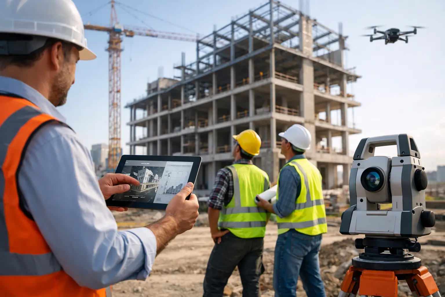
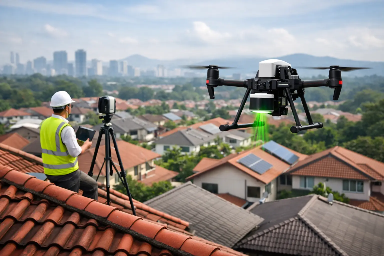
Wide-area 360 imagery establishes the overall environment. High-resolution still photography records critical details such as serial numbers, material damage, moisture staining, debris patterns, and affected stock. Drone imagery can document roof damage, building envelopes, access constraints, and site-wide conditions without placing personnel at unnecessary risk. LiDAR scanning can measure distorted spaces, quantify affected areas, and provide a dependable spatial reference for estimating and reconstruction planning.
Capture must be methodical, but it should not delay mitigation. Water extraction, security, temporary weatherproofing, and safety controls may need to proceed immediately. In those cases, document what can be captured safely, record the time and reason for emergency action, then return for a more complete scan as soon as conditions allow.
Record recovery as a sequence, not an afterthought
Claims frequently become harder to manage during restoration, when conditions are changing daily. A dated progress record helps distinguish original damage from the work required to stabilize, remove, repair, and reinstate the property. It also creates visibility for stakeholders who cannot visit the site, including regional management, owners, insurers, and project consultants.
For larger losses, periodic 360 walkthroughs can show progression from initial condition through strip-out, repairs, and handover. When linked to a consistent floor plan or digital twin, these updates are easier to navigate than separate photo folders. They can also support communication around access restrictions, completed milestones, and outstanding work without relying solely on narrative reports.
What a Useful Claim Record Should Show
A claim file should be easy for a third party to interpret months later. That means each item needs enough context to answer basic questions: what is shown, where it is located, when it was recorded, and why it is relevant.
For a substantial commercial property loss, the record should include at least these elements:
- A clear site overview showing the building, affected zones, access points, and any external damage.
- Room-by-room or area-by-area visual capture, with labels tied to floor plans, unit numbers, or operational zones.
- Detail photography of damaged finishes, contents, equipment, building services, and visible indicators of water, smoke, impact, or structural movement.
- Measurements, floor plans, or LiDAR data where quantities, geometry, or reconstruction scope could be disputed.
- Dated notes on mitigation, demolition, temporary works, inspections, and changes to site conditions.
- A controlled archive of original media, edited reporting assets, and any associated invoices, estimates, or inspection records.
The value is in the connection between these components. A panoramic view may show the affected room, a tagged image may identify a damaged asset, and a measured model may establish the area involved. Together, they make the evidence far more useful than any single format on its own.
Use Technology to Reduce Friction, Not Add Another System
A digital documentation program should make claim handling easier for the people already managing the incident. If capture outputs require special software knowledge, inconsistent naming, or manual searching through large files, adoption will suffer.
The most effective approach is usually a single accessible visual environment supported by a disciplined evidence structure. Stakeholders should be able to review a virtual walkthrough remotely, reference locations by floor or zone, inspect high-priority details, and access measured outputs when needed. The documentation team should retain original source files and maintain a clear chain of capture, including dates, locations, and any limitations in access or visibility.
Technology also has limits. A 3D scan cannot confirm hidden moisture inside a wall, determine policy coverage, or replace licensed engineering and forensic investigation. It does, however, provide a reliable visual and spatial framework that specialists can use when forming their opinions. That distinction protects the credibility of the record.
Align Documentation With the Claim Team Early
Before deploying capture resources, establish how the insurer, broker, loss adjuster, restoration provider, and property team will use the outputs. Ask what evidence is needed for the first notice of loss, which areas require measurement, how frequently progress should be recorded, and who can authorize access to sensitive spaces.
For operational sites, plan around safety inductions, restricted zones, privacy requirements, and business continuity. A manufacturing plant may need an after-hours scan. A hotel may require guest-free routes. A retail chain may need standardized documentation across multiple locations so head office can compare losses consistently. These details are not administrative extras. They determine whether visual evidence can be collected completely and used confidently.
Novo Reperio approaches this work as spatial documentation that supports a wider decision process. The aim is to turn a changing physical environment into a navigable, data-rich record that claims teams and property leaders can review from anywhere.
When the next incident occurs, the most valuable evidence is often the condition nobody thought to preserve. A practical documentation plan gives your team a way to capture it while the facts are still visible.