See how the future of virtual showrooms will combine digital twins, live data, and guided experiences to improve buying decisions and space operations.
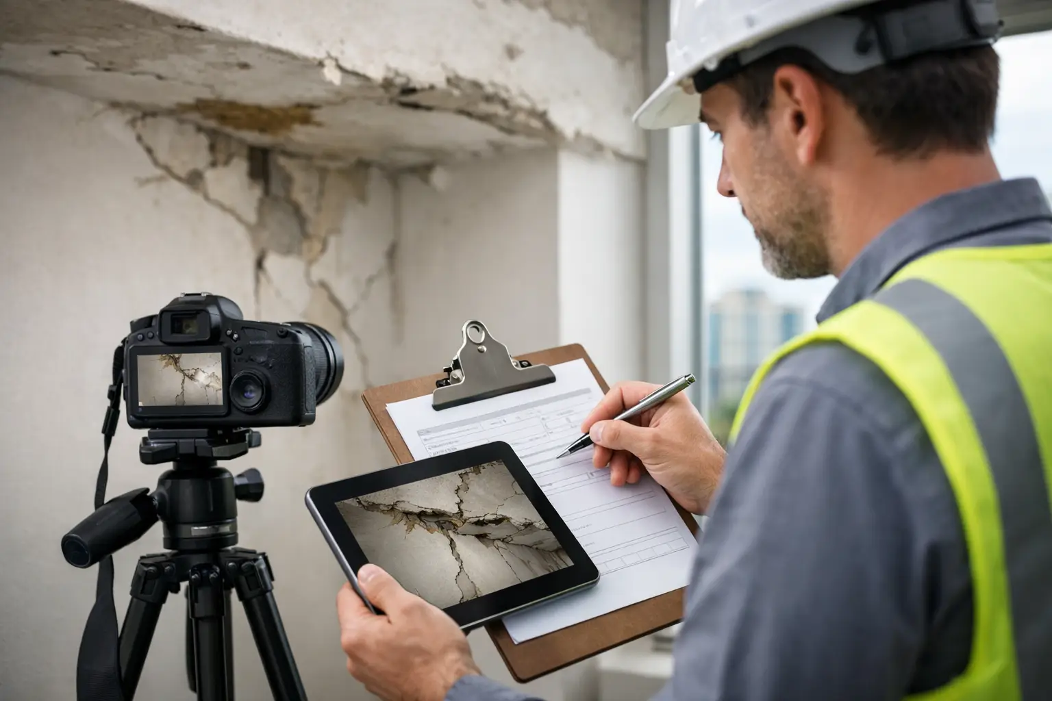
Learn how to document building conditions reliably with photos, LiDAR, and clear reports that support faster decisions, renovation planning, and claims.
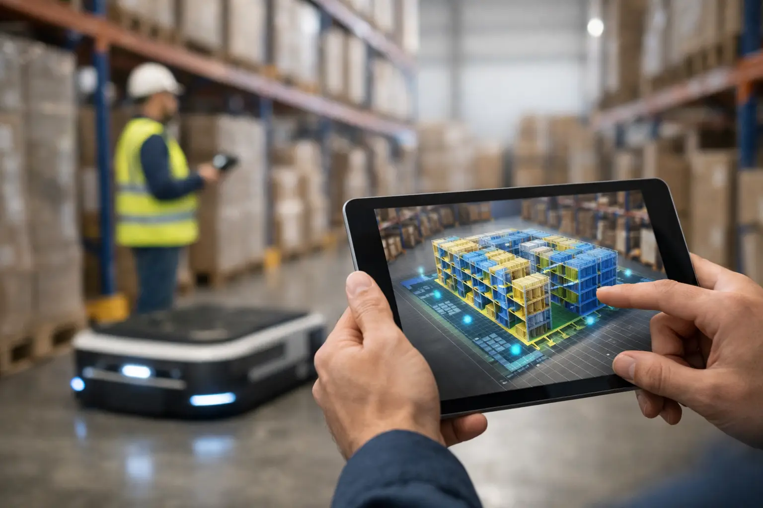
Warehouse 3D mapping services turn facilities into accurate digital models for safer layouts, faster maintenance, remote planning, and daily asset control.
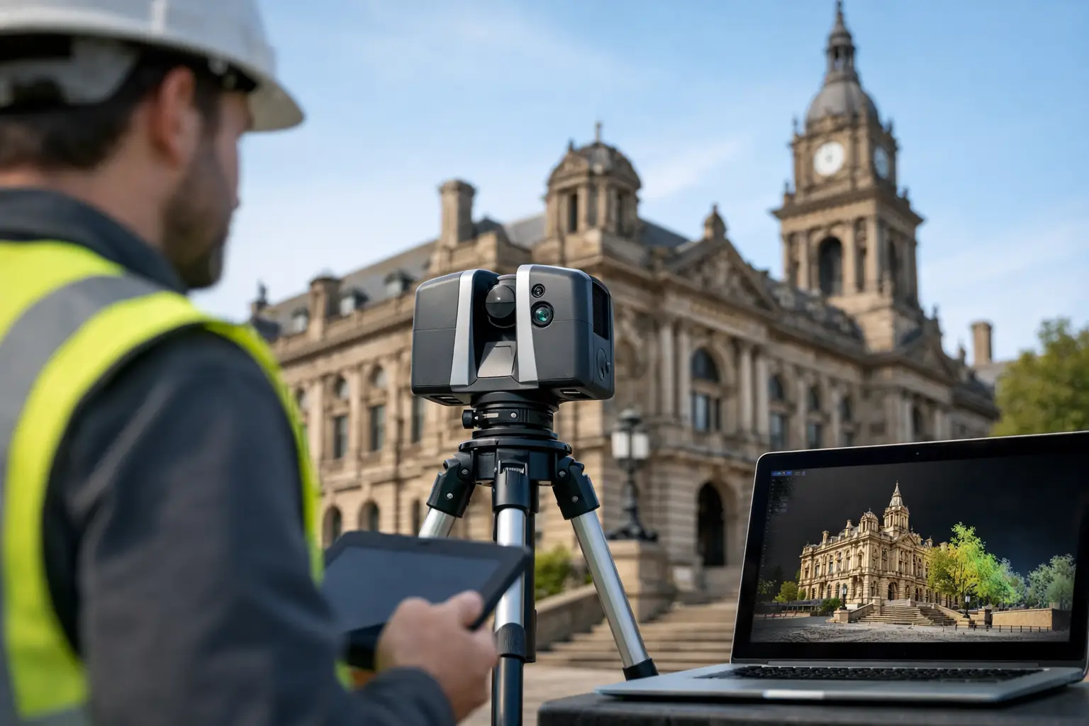
Learn how to scan heritage buildings with LiDAR, 360 capture, and Scan-to-BIM workflows that protect detail and support smarter restoration planning today.