A site team trying to verify grades, a developer marketing a large estate, and a facility manager planning retrofit work can all ask the same question and still need different answers: drone mapping vs lidar. The right choice is not about which technology sounds more advanced. It is about what decisions need to happen next, how much precision those decisions require, and how quickly the data needs to become usable.
For commercial projects, that distinction matters. Spatial capture is no longer just documentation. It shapes design coordination, stakeholder approvals, remote inspections, digital twin readiness, and how effectively a space can be presented or managed over time.
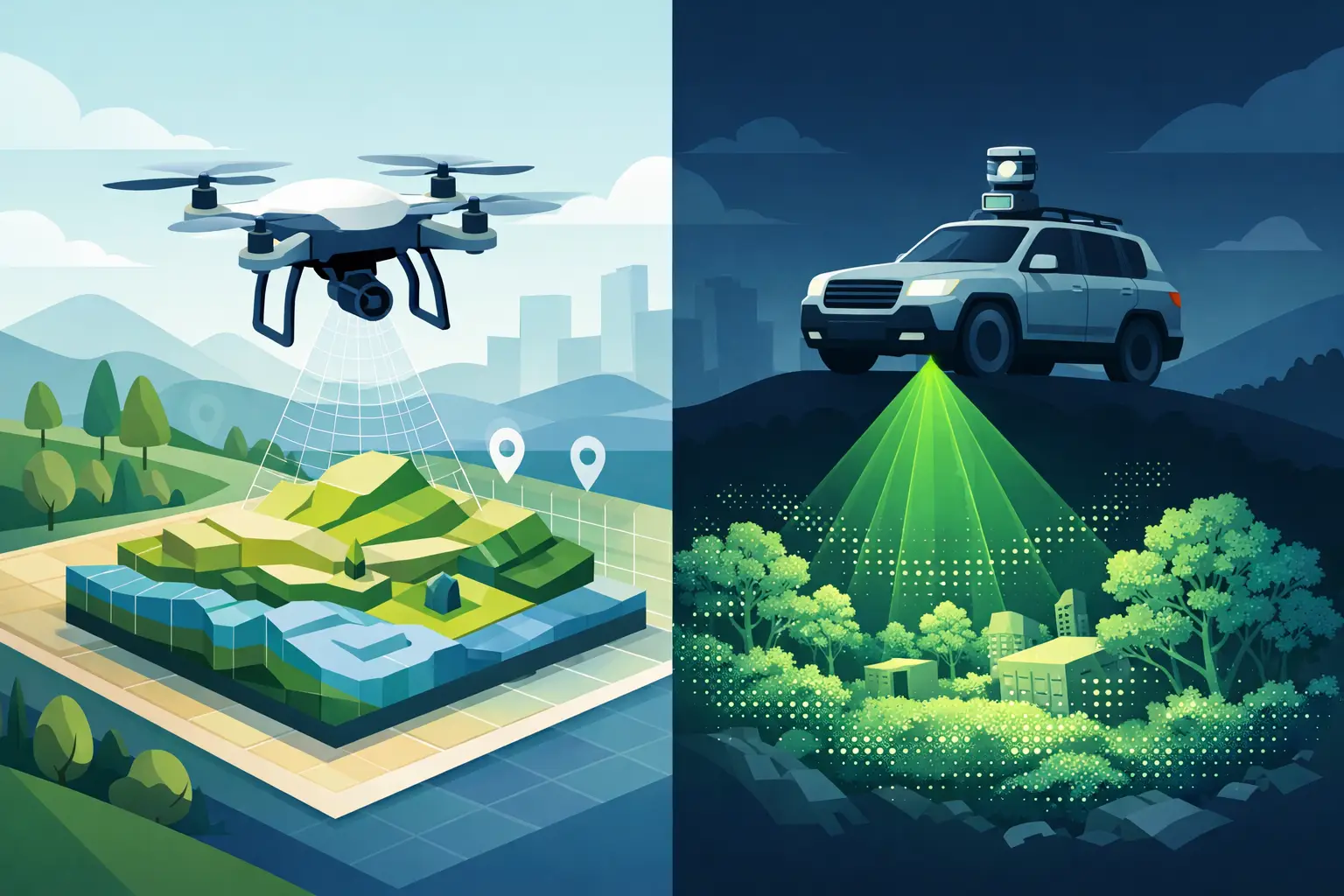
Drone mapping vs lidar: the core difference
Drone mapping typically refers to photogrammetry captured from aerial images. A drone flies a planned route, collects overlapping photographs, and software reconstructs the site into orthomosaics, point clouds, terrain models, and 3D surfaces. It is visually rich, efficient across large outdoor areas, and often the most practical first step for topographic overviews and progress monitoring.
LiDAR works differently. Instead of rebuilding geometry from photos, it measures distance directly using laser pulses. That produces highly accurate 3D point clouds and performs especially well where geometry matters more than surface appearance. LiDAR can be deployed from drones, terrestrial scanners, or mobile systems, depending on the site and the required output.
This is why the comparison can get muddy. It is not always drone versus LiDAR. In many real projects, the better comparison is photogrammetry versus LiDAR, because LiDAR itself can be mounted on a drone. If your objective is fast aerial coverage, both can be airborne. The real decision is what kind of data quality, penetrability, and downstream use you need.
When drone mapping is the stronger business choice
Drone mapping is often the most efficient option when you need broad site visibility, strong visual context, and fast turnaround without survey-grade detail in every area. For land development, quarry monitoring, construction progress reports, solar farm inspections, or property marketing, it delivers a useful balance of speed, cost, and coverage.
Its biggest commercial advantage is accessibility. Large sites can be captured quickly, and the outputs are easy for non-technical stakeholders to understand. Orthomosaic maps, textured 3D models, and aerial views support planning meetings, marketing presentations, and investor reporting without requiring everyone to interpret raw survey data.
For real estate and hospitality projects, this visual quality can be especially valuable. Aerial mapping does more than document boundaries. It shows access roads, site context, landscaping, neighboring assets, and development scale in a way static ground photography cannot. If the goal is to improve visibility, support sales conversations, or provide remote viewing of a property or venue, drone mapping often creates more immediate business value than pure geometric precision.
That said, photogrammetry has limits. Dense tree cover, reflective surfaces, low-texture environments, and shadow-heavy conditions can reduce reconstruction quality. If you need reliable data beneath vegetation or highly accurate measurements for design coordination, image-based mapping can start to show gaps.
Where LiDAR earns its cost
LiDAR becomes the stronger choice when measurement confidence drives the outcome. In AEC workflows, Scan-to-BIM, infrastructure planning, industrial asset documentation, and as-built verification, small dimensional errors can become expensive. Rework, coordination clashes, and missed site conditions cost far more than the initial difference in capture method.
Because LiDAR measures geometry directly, it usually performs better in complex environments. Structural steel, plant rooms, irregular facades, and interior spaces with repetitive surfaces are all situations where laser-based capture delivers more dependable 3D data. It also has a major advantage in sites with vegetation, since laser pulses can often capture ground points through partial canopy where photogrammetry mainly sees the top layer.
This matters for infrastructure, utilities, landscape planning, and large estates across Southeast Asia, where tree cover and uneven terrain are common. If a project needs earthwork calculations, drainage planning, or design coordination in partially obstructed terrain, LiDAR often provides a clearer basis for action.
LiDAR also fits long-term operational use. A facility owner investing in a digital twin, maintenance planning environment, or renovation baseline needs data that stays useful beyond a single marketing cycle. Higher fidelity spatial information supports asset management, retrofit planning, and documentation consistency across teams.
Accuracy, speed, and cost are not equal variables
Many buyers approach drone mapping vs lidar as a simple triangle of accuracy, speed, and cost. That is useful, but incomplete.
Drone photogrammetry is usually more cost-efficient for large, open sites and faster to deploy at lower budgets. If the requirement is a broad area map, stockpile estimate, visual model, or progress capture, it often wins on practical economics.
LiDAR usually carries a higher capture and processing cost, but that premium should be measured against the cost of a wrong decision. If your team is modeling existing conditions for renovation, coordinating MEP systems, or validating structural clearances, the question is not whether LiDAR is more expensive. The question is whether lower-confidence data creates risk later.
Speed also depends on what happens after capture. A fast field workflow is only useful if the output supports the next step. A drone can map a site quickly, but if the resulting model cannot support design-grade decisions, the project may lose time in verification, revisits, or manual cleanup. In contrast, LiDAR can shorten downstream workflows when the deliverable needs to feed BIM, clash review, or precise as-built records.
Choosing by use case, not by trend
For construction progress tracking, drone mapping is often sufficient and commercially efficient. It gives stakeholders regular visual updates, volumetric insights, and broad site visibility without overspending on precision that is not needed every week.
For as-built documentation, LiDAR usually has the edge. When architects, engineers, and contractors need trustworthy geometry, especially in retrofit or complex existing structures, laser capture supports better modeling and fewer assumptions.
For terrain and topography, the answer depends on site conditions. Open land with clear visibility may be handled well with photogrammetry. Wooded sites, steep grade variation, and terrain hidden by vegetation often justify LiDAR.
For real estate marketing, resort planning, or destination presentation, drone mapping often creates stronger visual outputs. Buyers and stakeholders respond to context, scale, and cinematic perspective. If the objective is engagement and remote decision-making, image-based outputs can be more persuasive.
For industrial facilities and operational digital twins, LiDAR is usually the stronger foundation. These environments depend on dimensional integrity, not just visual appeal. Equipment spacing, routing constraints, and maintenance access require data that teams can trust.
The hybrid model is often the best answer
In practice, many of the best spatial capture strategies are hybrid. Aerial photogrammetry can provide broad site context and high-impact visuals, while terrestrial or aerial LiDAR adds the precision needed for engineering, BIM, or facility planning. This creates a richer digital asset, one that supports both presentation and operations.
That is particularly relevant for commercial property portfolios, hospitality assets, mixed-use developments, and industrial campuses. Different teams use the same environment differently. Marketing wants visual engagement. Project teams need measurement reliability. Operations need ongoing documentation. A blended workflow supports all three without forcing one department’s priorities onto another.
For companies investing in digital twins, this is where strategy matters more than hardware. The capture method should match the lifecycle value of the asset. If the data will support sales, leasing, planning, renovation, compliance, and remote collaboration, then the conversation should move beyond capture cost and focus on total usability.
What decision-makers should ask before choosing
Before selecting a provider or technology, clarify what the deliverable needs to do. Is the output for presentation, measurement, design coordination, monitoring, or long-term asset management? How much tolerance can the project accept? Will the data feed BIM, GIS, reporting dashboards, or a client-facing digital experience?
Also consider the environment itself. Outdoor open sites, tall facades, active construction zones, and complex interiors each favor different methods. The right provider should be able to assess not just how to capture the site, but how the data will perform once it reaches your commercial, technical, and operational teams.
This is where experienced spatial partners add value. The goal is not to sell a scanner or a drone flight. It is to define the capture approach that reduces uncertainty, supports faster decisions, and creates a digital asset with business life beyond the survey date.
The best choice between drone mapping and LiDAR is rarely the one with the best spec sheet. It is the one that helps your team move from physical space to usable intelligence with the least friction and the highest confidence.