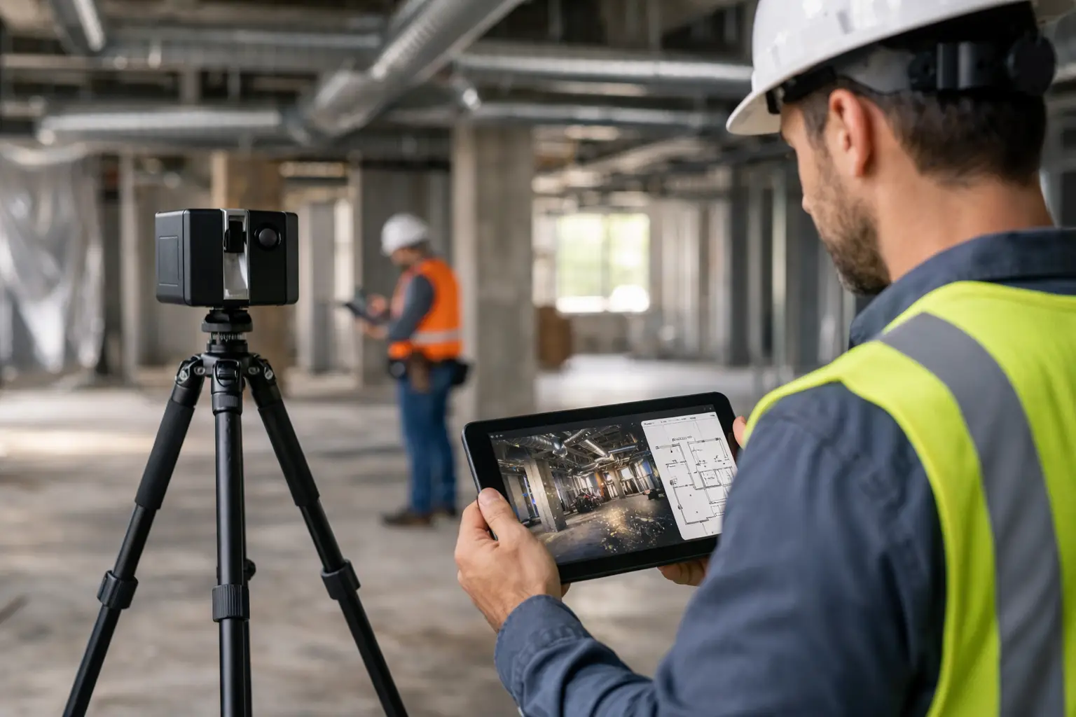

A renovation team arrives to verify a ceiling route, only to discover that the drawing does not reflect the pipework installed behind it. The result is familiar: another site visit, a delayed decision, and avoidable rework. Knowing how to capture as built information properly turns the finished space into a dependable record, not a collection of assumptions.
For architects, contractors, developers, and facility teams, as-built capture is the process of documenting what was actually constructed or installed. It may support a verified set of drawings, a Scan-to-BIM model, an operations-ready digital twin, or a condition record for insurance and dispute management. The right deliverable depends on the project, but the discipline behind it is the same: collect reliable spatial evidence, validate it, and make it usable by the people who must act on it.
Start With the Decision the As-Built Must Support
The most expensive mistake is treating every site as if it needs the same survey and the same level of detail. A facility manager planning maintenance does not necessarily need the same model detail as an engineer coordinating new mechanical systems. A property owner preparing a leasing campaign may need a navigable digital twin and accurate floor areas, while a contractor closing out a complex project may need coordinated record drawings and asset information.
Before anyone enters the site with a scanner or camera, define the decisions the final record must support. Ask who will use the data, what they need to verify, the required accuracy, and which file formats fit their workflow. Also establish the areas that matter most. A plant room, ceiling void, facade interface, or congested service corridor can require much closer attention than a standard office floor.
This scope should identify whether the capture needs geometry alone or geometry plus visual condition, asset details, and location references. It should also state the expected level of development for any BIM output. Without that agreement, teams can produce a visually impressive model that is still not fit for coordination, quantity takeoff, or maintenance planning.
How to Capture As Built Conditions in the Field
A defensible as-built workflow begins before the scan. Review available design drawings, prior models, reflected ceiling plans, utility information, and site constraints. These documents are reference material, not assumed truth. Their purpose is to reveal likely gaps, identify critical interfaces, and help organize the capture route.
Build a capture plan around access and risk
Site access determines data quality. Locked rooms, active work zones, reflective surfaces, parked vehicles, and crowded areas can create missing geometry or visual blind spots. Schedule capture when access is broad and temporary obstructions are minimized. For operational facilities, this may mean working in phases around production, guest activity, or security requirements.
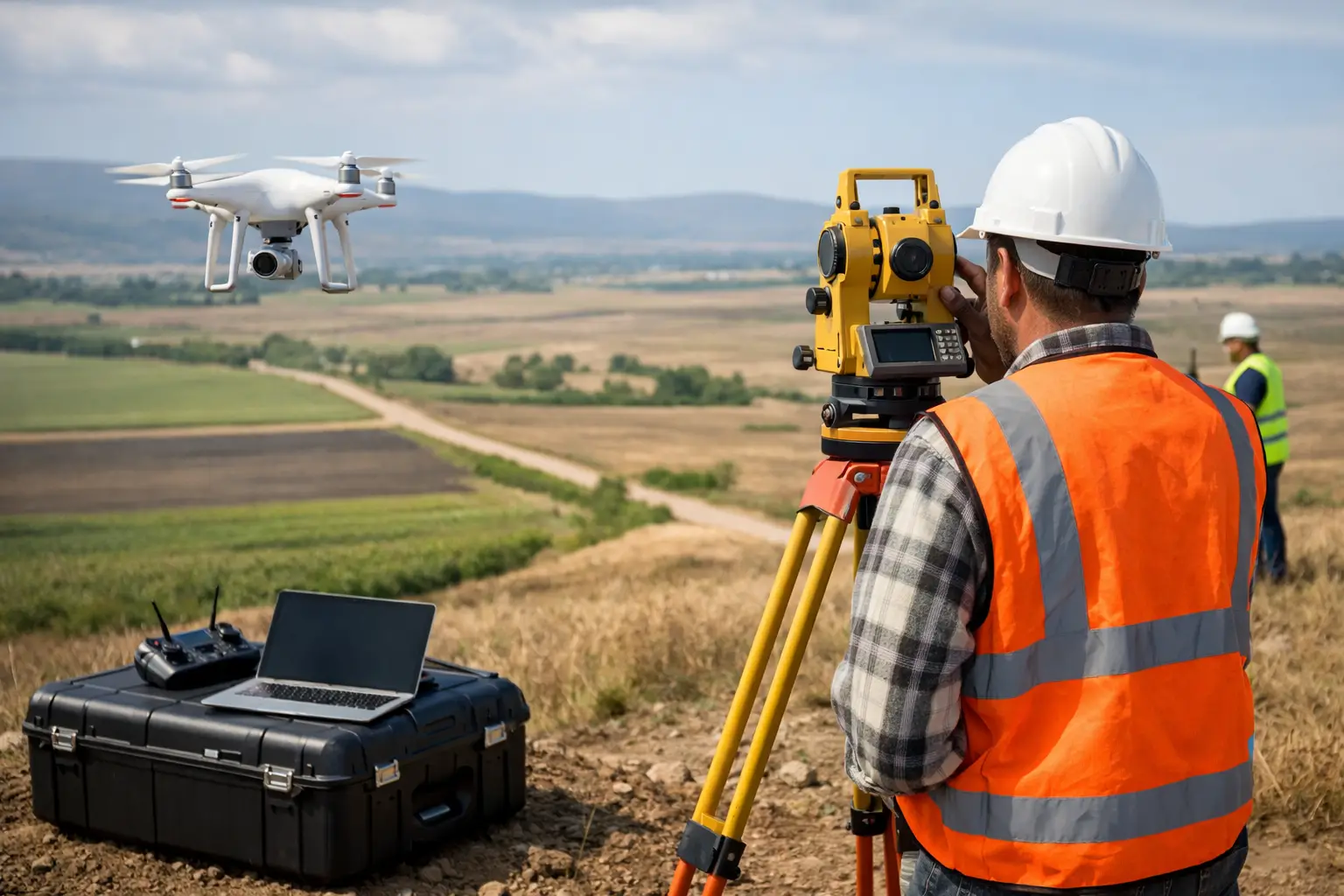
A good plan also identifies areas where line-of-sight capture will be difficult. Above-ceiling services, external roofs, tall atriums, and narrow equipment spaces may require a combination of terrestrial LiDAR, 360 imagery, drone mapping, conventional measurements, and targeted photographs. One method rarely solves every condition.
Establish control before collecting data
Accuracy does not come from the scanner alone. It comes from a controlled process. Where the output must align with a survey grid, existing BIM model, or design coordinate system, establish control points and document the coordinate basis before scanning begins.
For smaller renovation or fit-out projects, a local coordinate system may be appropriate. For larger developments, multi-building campuses, infrastructure interfaces, or projects that combine drone and terrestrial capture, formal survey control becomes more valuable. The trade-off is time and cost upfront versus reduced alignment problems later. When multiple consultants will rely on the model, control is usually a sound investment.
Capture complete spatial evidence
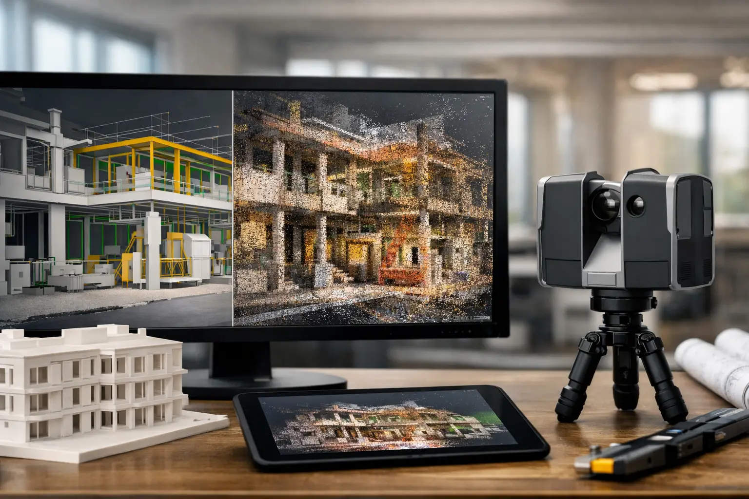
LiDAR scanning creates a dense point cloud that records surfaces and dimensions at scale. It is particularly effective for complex interiors, mechanical rooms, facades, warehouses, heritage conditions, and spaces where manual measurement would be slow or unsafe. Overlapping scan positions are essential. Each setup should see enough of the previous one to support reliable registration and reduce shadowed areas.
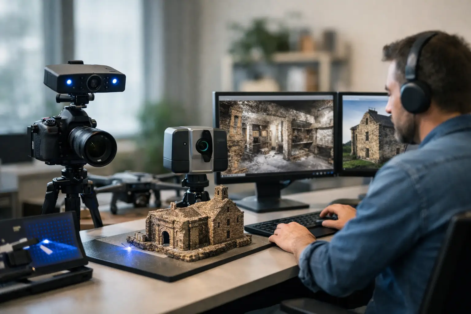
Visual records add context that points alone cannot always provide. High-resolution panoramic imagery, close-up photographs, and annotated observations can show material condition, labels, equipment tags, finishes, and installation issues. For rooflines, building envelopes, and large external sites, aerial imaging can extend the spatial record beyond ground-level access.
Capture systematically by zone, floor, and room sequence. Record the scan location, date, access constraints, and any areas that could not be observed. This simple discipline prevents a common handover problem: a model that looks complete but contains unmarked gaps.
Validate Before the Team Leaves Site
A field capture is only as useful as its quality check. Waiting until the office processing stage to identify missing data creates the very return visits the workflow is meant to avoid. The field team should review scan coverage, registration status, image clarity, and critical dimensions while access is still available.
Validation should focus on the elements that could change a decision. Check major floor-to-floor heights, structural grids, door openings, slab edges, service routes, equipment clearances, and interfaces between old and new construction. Use independent spot measurements where appropriate. The aim is not to measure every surface twice. It is to test whether the captured data meets the agreed tolerance and whether high-risk areas have sufficient evidence.
When conditions differ from the design, document the difference rather than forcing the data to fit the drawing. An as-built record should make deviations visible. That gives project teams a credible basis for resolving variations, redesigning future phases, or updating operations records.
Turn Raw Capture Into a Usable Deliverable
Raw point clouds can be valuable to technical teams, but they are not always practical for every stakeholder. Processing should transform the field data into the formats that match the project objective. Depending on the scope, this may include registered point clouds, 2D as-built drawings, floor plans, elevation views, a coordinated BIM model, annotated imagery, or an interactive digital twin.
For Scan-to-BIM, modelers should work from the registered point cloud while following a defined modeling standard. Specify what must be modeled, the required level of detail, how uncertain elements will be represented, and which metadata is needed. Modeling every visible object may add cost without improving operational value. Conversely, omitting valves, equipment identifiers, access zones, or key service connections can make the model far less useful for facility management.
The most effective deliverables keep verification close to the source. A user reviewing a BIM element should be able to compare it with the underlying scan or imagery when questions arise. This traceability builds confidence across design, construction, and operations teams, especially when decisions are being made remotely.
Manage Versioning and Ownership From Day One
As-built information loses value when it becomes another isolated project file. Establish a naming convention, revision process, and clear ownership model for the data. Identify who approves the final record, who can update it after handover, and where the authoritative version will reside.
This matters most for assets that change frequently. Retail stores, hotels, industrial facilities, and multi-tenant commercial buildings may undergo continual fit-outs, equipment replacements, and layout changes. A one-time survey provides a strong baseline, but it does not remain an as-built record forever. Plan periodic updates around major works, asset changes, or operational milestones.
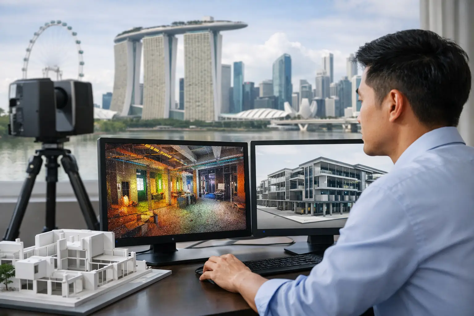
A digital twin can make this ongoing use more accessible by giving nontechnical teams a navigable view of the space while preserving a connection to measured spatial data. For commercial stakeholders, that can support remote inspections, leasing conversations, staff familiarization, maintenance planning, and faster collaboration without treating each request as a new site visit.
Choose Accuracy Based on Consequence
Higher precision is not automatically better if the decision does not require it. The right standard depends on consequence. Marketing documentation can prioritize visual completeness and an intuitive viewer experience. A renovation involving tight tolerances, prefabrication, or services coordination requires more rigorous measurement, control, and validation.
Be specific in the project brief. State the required tolerance, coverage areas, exclusions, output formats, and review milestones. Vague requests for “an accurate as-built” invite mismatched expectations. A precise scope lets the capture team select the right technology mix and lets decision-makers understand what the final data can, and cannot, support.
Novo Reperio approaches spatial capture as a working asset for the next decision, not simply a record of the last project phase. Whether the priority is an operational BIM model, verified condition documentation, or an immersive representation of a commercial space, the process should connect field evidence to a clear business use.
The best time to plan an as-built capture is before access becomes difficult, finishes conceal critical services, and project knowledge starts leaving the site. Capture with a defined purpose, validate while conditions are visible, and the finished space becomes far easier to market, manage, and change with confidence.