If you are documenting a building, planning a renovation, or preparing a property for digital marketing, the choice between lidar vs tape measure affects more than speed. It shapes the quality of your data, the confidence of your team, and how many decisions can be made without returning to site.
For small, simple spaces, a tape measure still does useful work. It is inexpensive, familiar, and reliable in the right hands. But once a project involves irregular geometry, multiple stakeholders, frequent revisions, or a need for digital outputs such as as-builts, BIM models, or virtual walkthroughs, LiDAR changes the conversation from basic measurement to spatial intelligence.
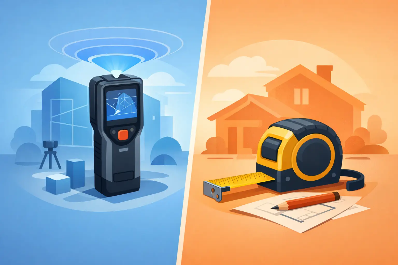
LiDAR vs tape measure: the real difference
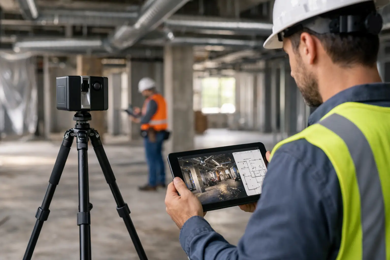
A tape measure captures distance one point at a time. LiDAR captures a space as a dense set of measured points, building a digital representation of walls, ceilings, openings, structure, fixtures, and spatial relationships. That difference matters because most commercial projects are not really asking for one dimension. They are asking for a complete, usable record of reality.
With a tape measure, the process depends heavily on the person doing the work. Measurements must be selected, recorded, labeled, checked, and interpreted later. If a room has offsets, sloped ceilings, curved surfaces, concealed constraints, or hard-to-reach areas, complexity increases quickly.
LiDAR works differently. It scans the environment and generates a point cloud or spatial dataset that can be revisited after the site visit. That means teams can extract additional dimensions later, validate assumptions, coordinate across trades, and reduce costly return visits. For owners, developers, and operators, that can translate into faster approvals, fewer disputes, and better planning.
Where a tape measure still makes sense
It would be a mistake to frame tape measurement as obsolete. For a single wall, a furniture fit-out check, or a quick verification on site, a tape measure is efficient. If the area is small, the geometry is simple, and the consequences of minor variation are low, the manual option may be the practical one.
This is especially true when the output needed is limited. If no one needs a 3D model, no digital twin is required, and there is no expectation of reuse across design, operations, or marketing, then tape measurement can be enough.
The issue is not whether tape measures work. They do. The issue is whether they remain efficient once the value of the space extends beyond a single measurement task.
Where LiDAR delivers stronger business value
LiDAR becomes the stronger option when accuracy, speed at scale, and downstream usability matter. In commercial environments, measurement is rarely a standalone activity. It feeds design development, BIM coordination, facilities planning, leasing, documentation, compliance review, stakeholder reporting, and increasingly, immersive digital experiences.
A hotel operator documenting multiple floors, for example, may need more than room dimensions. They may need a digital record to support renovation sequencing, remote contractor review, and future asset management. A property developer may need accurate spatial capture that supports both technical documentation and high-quality digital presentation. A warehouse operator may need to understand clearances, equipment placement, and access paths across a large footprint.
In these cases, LiDAR does not just save time on site. It creates a reusable digital asset that continues generating value after capture is complete.
Accuracy is not just about precision on paper
Many buyers compare lidar vs tape measure by asking which is more accurate. That is understandable, but the better question is: accurate for what purpose?
A tape measure can be highly accurate for a single linear dimension. But building documentation usually depends on accumulated accuracy across many dimensions, corners, transitions, and levels. Manual workflows introduce human error at every stage – selecting points, holding the tape correctly, reading values, writing notes, and transferring data into drawings.
LiDAR reduces that dependency on manual interpretation. It captures the geometry as it exists, which is particularly useful in older buildings, renovation projects, industrial facilities, and complex interiors where surfaces are rarely as straight as drawings suggest. The result is not just better precision, but better confidence in the overall spatial picture.
Speed changes when scale increases
For one room, a tape may be fast enough. For an entire office, hotel, retail unit, or multilevel site, manual measurement becomes labor-intensive. Every doorway, soffit, staircase, service area, and irregular corner adds more time and more potential for omission.
LiDAR can document large and complex spaces far more efficiently, especially when project teams need comprehensive capture rather than a limited set of dimensions. That matters when access windows are short, business operations cannot be interrupted for long, or stakeholders need to move quickly from site visit to planning.
For organizations operating across Malaysia, Singapore, or other regional markets where travel, contractor coordination, and site access all carry cost, reducing repeat visits can have clear commercial value.
Cost is more nuanced than the equipment price
Tape measures are cheap. LiDAR systems are not. That makes the comparison look simple at first, but equipment price is only one part of total project cost.
Manual measurement often appears less expensive because the hidden costs arrive later. These include extra site visits, drawing revisions, coordination delays, missing dimensions, installation clashes, and decisions made with incomplete information. On a small project, those costs may be manageable. On a commercial project, they can easily outweigh the initial savings.
LiDAR usually requires a higher upfront investment, whether through equipment, software, or specialist service delivery. But that investment often supports better outputs: point clouds, as-built documentation, Scan-to-BIM workflows, digital twins, and visual records that multiple departments can use. When one capture serves design, operations, marketing, and stakeholder communication, the economics improve significantly.
LiDAR vs tape measure for different industries
In AEC, the case for LiDAR is especially strong where existing conditions matter. Renovations, retrofits, façade work, MEP coordination, and as-built verification all benefit from a more complete spatial dataset. A tape measure may support spot checks, but it struggles as the primary method when geometry is complex or the margin for error is tight.
In real estate and hospitality, the comparison is slightly different. Measurement accuracy still matters, but presentation value also matters. LiDAR-enabled capture can support digital twins and immersive walkthroughs that help prospects evaluate spaces remotely. A tape measure can document dimensions, but it cannot turn the property into an interactive digital asset.
In facility management and industrial settings, LiDAR supports planning at operational scale. Teams can use captured spatial data for maintenance planning, equipment layout, training, safety review, and future modifications. Here, the question is not simply how to measure a site. It is how to digitize it in a way that improves decision-making over time.
When the best answer is both
This does not always have to be a winner-takes-all decision. On many projects, LiDAR and tape measurement work well together.
LiDAR can provide the primary spatial record, while a tape measure handles quick field verification, installation checks, or isolated dimensions that need immediate confirmation. This hybrid approach is often practical for construction teams, fit-out contractors, and property operators who need both comprehensive capture and on-the-spot flexibility.
The key is to avoid using tape measurement as a substitute for spatial capture when the project clearly requires a richer dataset.
How to decide between LiDAR and tape measure
The best choice depends on project complexity, output requirements, and the cost of getting it wrong. If you are measuring a simple room for a minor task, tape is likely enough. If you are documenting an existing building for renovation, coordinating multiple stakeholders, building a BIM model, or creating a digital twin for remote engagement, LiDAR is usually the better investment.
A useful rule is this: if the space needs to be measured once and forgotten, manual tools can work. If the space needs to be documented, shared, revisited, marketed, analyzed, or modeled, LiDAR creates far more value.
That is why many commercial teams now see spatial capture less as a surveying expense and more as a digital infrastructure decision. The data you collect today can shape how quickly you sell, design, approve, maintain, and communicate tomorrow.
For decision-makers weighing lidar vs tape measure, the smartest move is not chasing the lowest-cost tool. It is choosing the method that gives your project the clearest path from physical space to usable insight.