

LiDAR Mapping Services for Better Space Decisions
LiDAR mapping services turn buildings, sites, and facilities into accurate spatial data for faster planning, marketing, and remote decisions at scale.
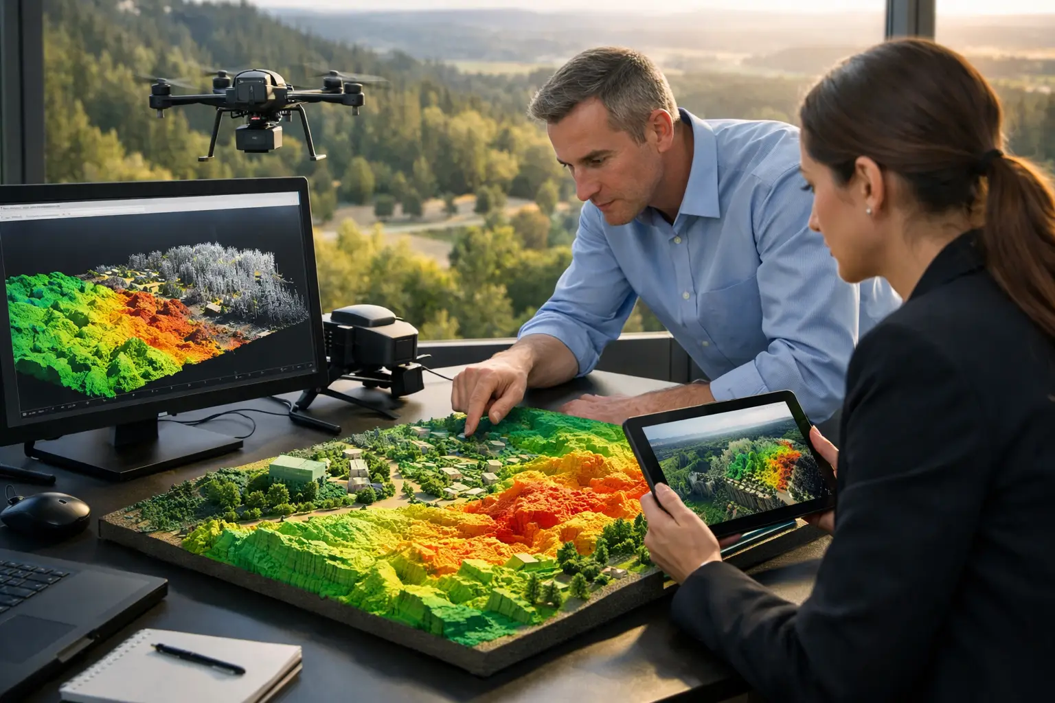
LiDAR mapping services turn buildings, sites, and facilities into accurate spatial data for faster planning, marketing, and remote decisions at scale.
LiDAR Mapping Services for Better Space Decisions
A renovation team discovers a ceiling clash after materials are ordered. A leasing prospect cannot understand the scale of a warehouse from still photographs. A facilities manager works from drawings that no longer reflect years of modifications. These are not simply visualization problems. They are decision problems caused by incomplete spatial information. LiDAR mapping services address that gap by converting real-world environments into measured, usable digital data.
For property, AEC, hospitality, retail, and industrial teams, the value is not limited to a detailed 3D model. The real return comes from making spaces easier to assess, communicate, market, and manage without requiring every stakeholder to be physically present.
What LiDAR Mapping Services Actually Deliver
LiDAR, short for Light Detection and Ranging, measures distance by emitting laser pulses and calculating how long they take to return from surrounding surfaces. During a site capture, millions of measurements are collected to form a point cloud: a dense, spatially accurate record of walls, floors, ceilings, building services, structural elements, and site conditions.
A point cloud is highly useful, but it is rarely the final deliverable a commercial team needs. Depending on the project objective, the captured data can be developed into 2D measured drawings, as-built documentation , CAD files, 3D meshes, topographic models, floor plans, BIM-ready models, or interactive digital twins.
That distinction matters. A developer marketing a premium commercial asset may need a digital experience that helps overseas prospects explore the property remotely. An architect planning an adaptive reuse project may need an accurate Scan-to-BIM model with reliable dimensions. A plant operator may need a record of equipment layouts and clearance zones for maintenance planning. The capture technology may be similar, but the outcome, level of detail, and processing workflow should be designed around the decision the client needs to make.
Accuracy Only Matters When It Supports a Decision
It is easy to compare providers by scanner specifications or point-cloud density. Those metrics matter, but they do not independently determine whether a project is successful. The first question should be: what will this spatial data enable your team to do differently?
For a renovation, accuracy reduces the risk of designing around assumptions. Existing conditions are often more complex than original drawings suggest, particularly in older buildings, mixed-use developments, and facilities that have undergone repeated fit-outs. A detailed capture provides a dependable base for design coordination, quantity review, and stakeholder approvals before site work begins.
For marketing, accuracy builds confidence. A prospective tenant or buyer can explore the true flow, proportions, finishes, and relationship between spaces rather than interpreting a selective set of images. When paired with 360 imagery, annotations, aerial content, or a digital twin interface, spatial data becomes an asset that supports stronger engagement and more qualified inquiries.
For operations, accuracy supports continuity. Teams can reference a current spatial record when planning maintenance, onboarding contractors, reviewing safety conditions, or discussing changes across locations. This is especially valuable when decision-makers, consultants, and asset owners work across Malaysia, Singapore, Indonesia, Thailand, or other regional markets and cannot always attend a site visit.
The right capture method depends on the environment
Terrestrial LiDAR is particularly effective for building interiors, facades, warehouses, factories, and complex facilities where detailed geometry is required. Drone-based LiDAR and aerial imaging are better suited to large sites, roofscapes, terrain, infrastructure corridors, and external conditions that are difficult or unsafe to measure from the ground.
Many projects benefit from both. A large industrial site, for example, may require aerial coverage for roofs and external circulation areas, terrestrial scanning for production floors and mechanical rooms, and photography or 360 capture for communication with nontechnical stakeholders.
There are trade-offs. Higher-detail capture can increase field time, processing requirements, and model costs. A full BIM model may be unnecessary when a coordinated point cloud and measured floor plans will answer the immediate question. Conversely, reducing scope too early can create a false economy if the data cannot be reused for later design, construction, or facility-management needs.
Where LiDAR Mapping Services Create Commercial Value
The strongest projects connect spatial capture to a clear commercial or operational outcome. Rather than treating LiDAR as a one-time survey expense, leading teams use it to create a reusable record of a space.
AEC, renovation, and as-built planning
For architects, engineers, contractors, and owners, LiDAR capture reduces uncertainty at the point where uncertainty becomes expensive. Existing-condition data can support Scan-to-BIM workflows , clash review, retrofit planning, heritage documentation, and construction progress comparisons.
The benefit is not that every site condition becomes simple. It is that the team starts with a more reliable shared reference. This can reduce repeat site visits, improve coordination between disciplines, and make approval conversations more productive. For projects involving complicated ceiling services, irregular structures, or occupied spaces, that shared reference is often the difference between a controlled process and an avoidable site surprise.
Commercial real estate and leasing
Static photography can establish a first impression, but it does not always communicate spatial logic. Prospective tenants need to understand access, visibility, floor plate size, adjacent amenities, and how a space could support their operation. LiDAR-derived digital twins and interactive walkthroughs give them more context before a physical viewing.
This does not replace the site visit for every transaction. It improves the quality of the site visit by helping prospects self-qualify earlier. For developers and brokers, that can mean better engagement from remote buyers, a more differentiated listing experience, and sales teams that spend time with prospects who already understand the asset.
Hospitality, venues, and visitor experiences
Hotels, resorts, event venues, galleries, and cultural spaces need to sell an experience before a guest arrives. Accurate digital environments allow planners to evaluate function as well as aesthetics: ballroom access, pre-function areas, room adjacency, exhibition flow, and capacity context.
The same spatial asset can serve several departments. Sales teams can use it to support event inquiries. Marketing teams can integrate visual content into campaigns. Operations teams can reference it during planning and staff training. That cross-functional value is where a well-planned capture program can outperform a conventional photo shoot.
Facilities and industrial operations
Factories, warehouses, data rooms, and large commercial facilities evolve continuously. New equipment, partitions, racking, services, and safety controls can make legacy drawings unreliable. A current 3D spatial record provides a clearer basis for layout reviews, maintenance planning, vendor coordination, and future capital works.
The objective is not necessarily to model every bolt and cable. It is to capture the level of information needed for the operational decision. A facility planning a new production line will require a different level of detail from a team documenting emergency access routes or reviewing warehouse storage layouts .
From Point Cloud to a Usable Digital Asset
A successful project begins before scanning equipment arrives on site. The project team should define the intended deliverables, accuracy expectations, areas of coverage, access constraints, and how the data will be used after handover. Without this step, teams can receive technically impressive files that are difficult to apply in daily work.
A practical workflow usually starts with a site and scope review. This identifies restricted areas, reflective surfaces, active operations, ceiling obstructions, exterior conditions, and the stakeholders who need access to the final output. Capture is then planned around the required detail and the conditions of the environment.
After field capture, scan positions are registered into a coordinated point cloud. The data is checked for alignment, coverage, and gaps before it is converted into the agreed deliverables. That quality-control stage is essential. A missing service corridor, poorly captured ceiling void, or inaccessible rooftop area can affect downstream modeling and decision-making.
The final stage is delivery and adoption. A point cloud stored in a folder has limited business value if only a specialist can open it. The best delivery format depends on the audience. Technical consultants may need CAD or BIM outputs, while commercial teams may need an interactive browser-based environment with visual navigation, tagged information, and shareable access.
Novo Reperio approaches this as a connected spatial workflow, combining LiDAR capture with Scan-to-BIM, digital twin environments, 360 tours, aerial imaging, and visualization where those elements improve the final business outcome.
Questions to Set Before You Commission a Survey
Before selecting a provider, establish the problem you want the data to solve. Clarify whether the project is for design, documentation, visualization, facilities management, marketing, or a combination of these goals. This determines the right capture method and output.
Ask what accuracy level is required and how it will be verified. Confirm whether the scope includes interiors, exteriors, roofs, plant rooms, ceiling voids, or inaccessible areas. Define who will use the files and which software or platform they need to work in. Finally, consider the asset lifecycle. If the space will be renovated, leased, marketed, or managed over several years, it may be worthwhile to structure the deliverables for reuse rather than for a single immediate task.
A lower-cost scan can be appropriate for a simple visual record. For high-value design, construction, operational, or sales decisions, the greater risk is often insufficient scope, not excessive detail.
The most useful spatial data is the data that gives your team confidence to act. Start with the next decision your space needs to support, then build the LiDAR mapping scope around that moment.